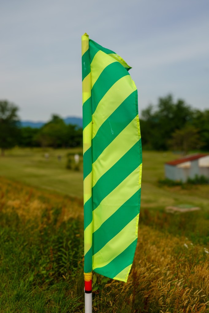
Perhaps the most unexpected sight today was multiple flags and signs for a lavender festival.
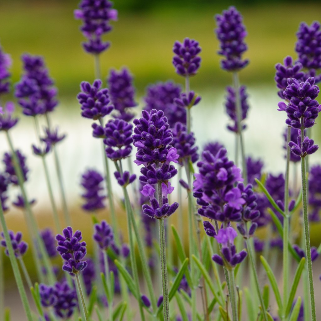
“The Misato Lavender Festival (Misato-machi Lav): You can wander through massive fields featuring roughly 20,000 plants across 7 different varieties. This includes the rare white lavender variety known as “Misato Sekka”. During the festival, you can enjoy lavender-themed foods (like lavender ice cream), browse local crafts, and even try a hands-on lavender picking experience”

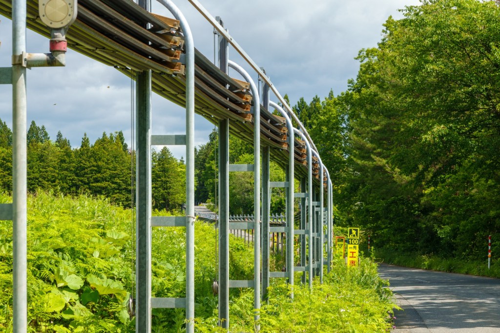
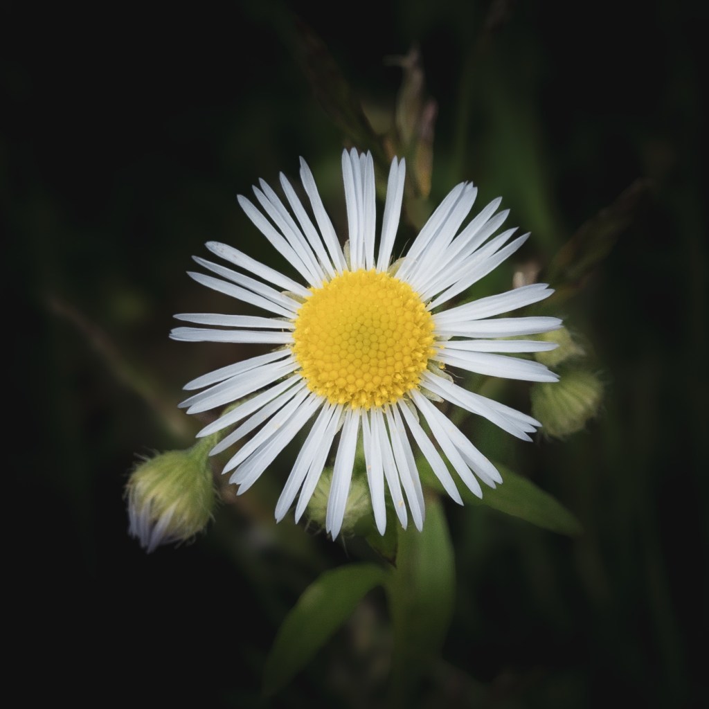
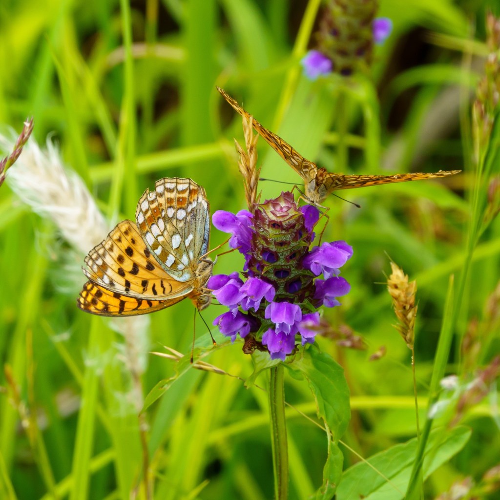
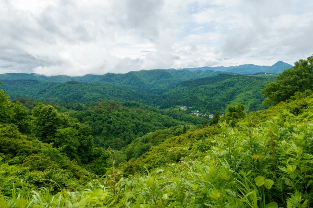
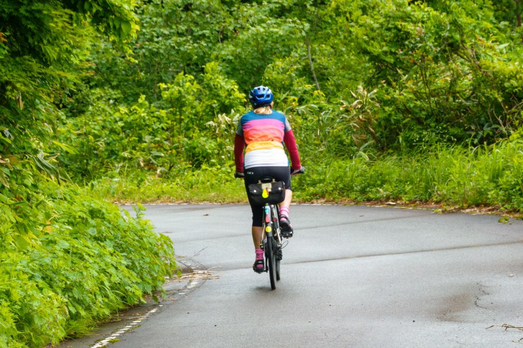
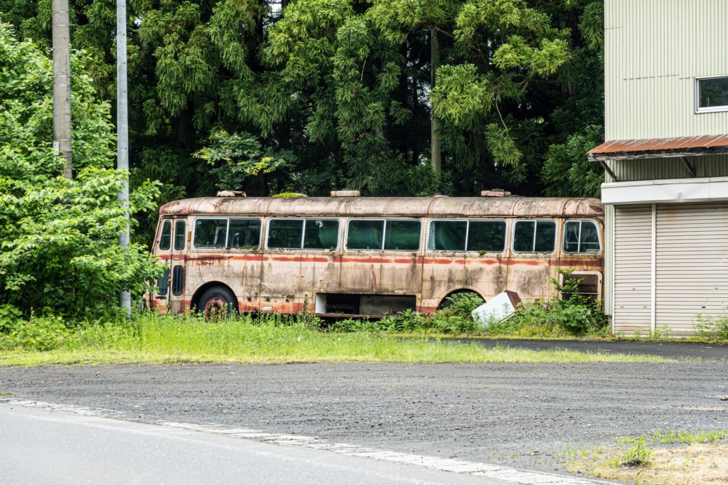
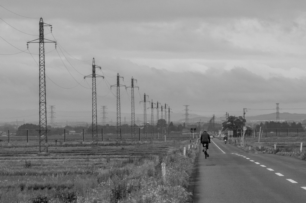
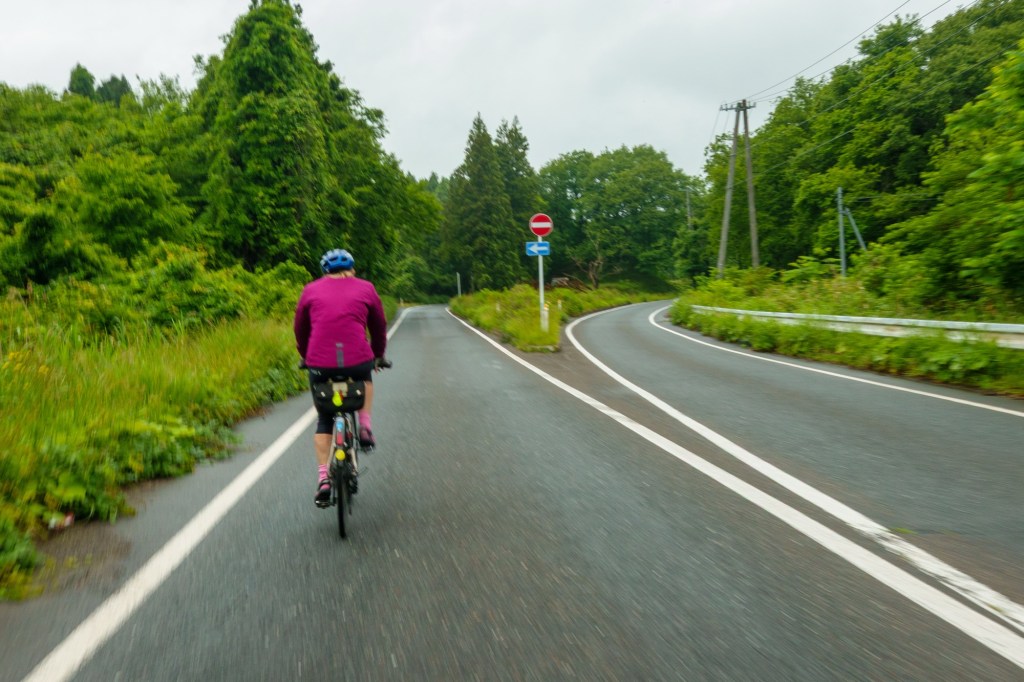
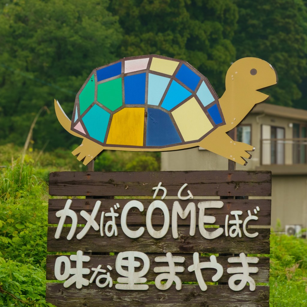
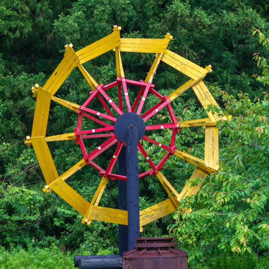
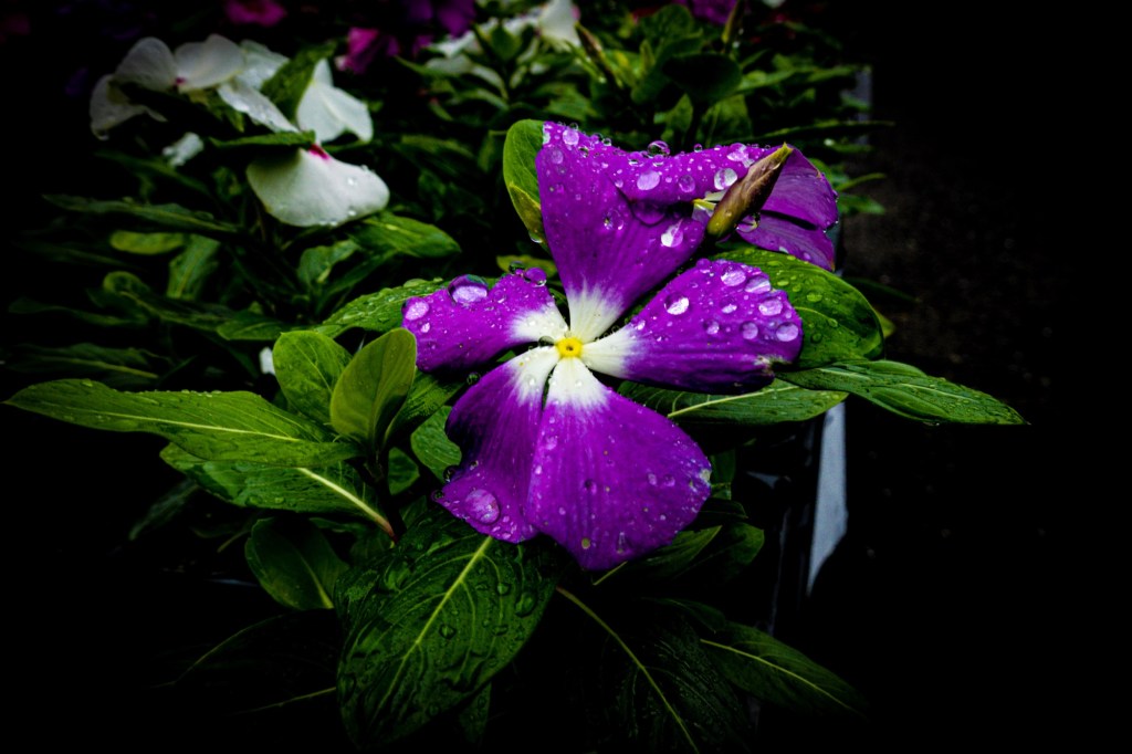
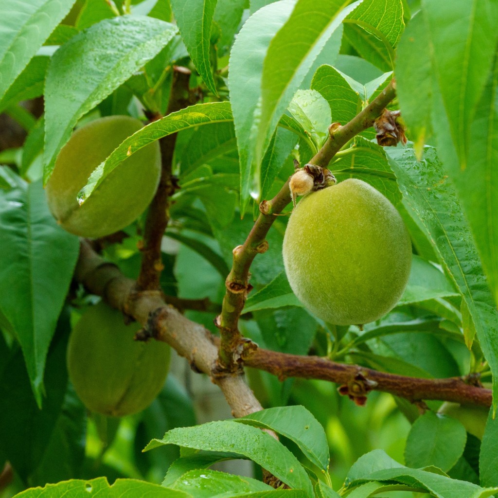
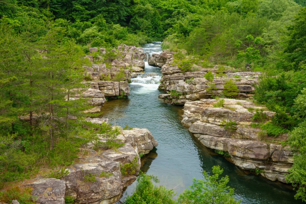
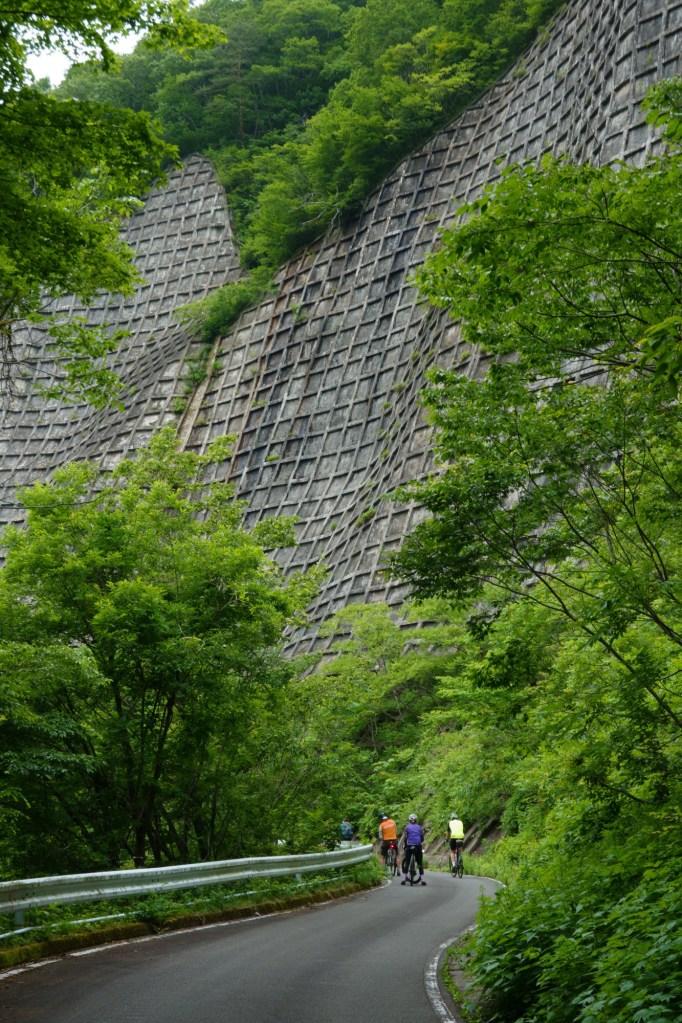
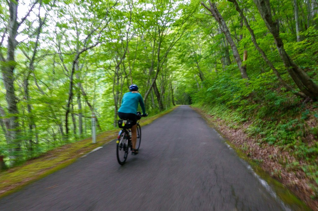
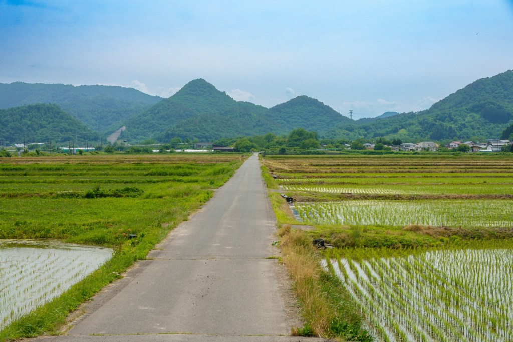
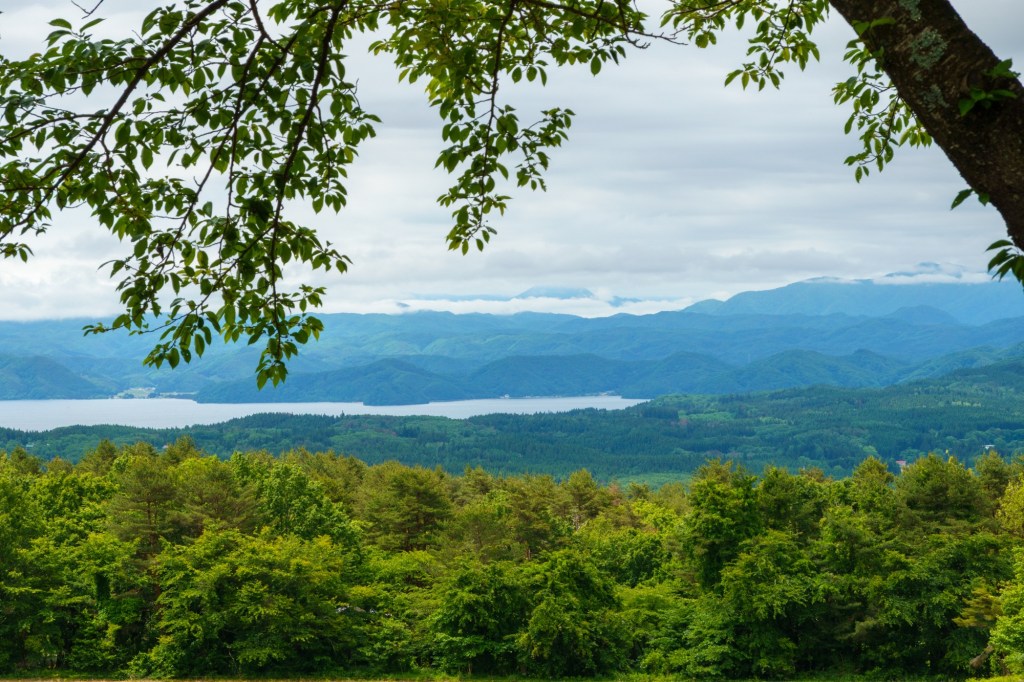
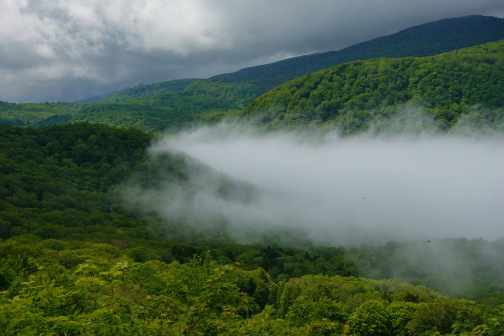
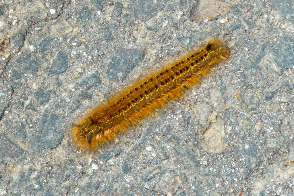
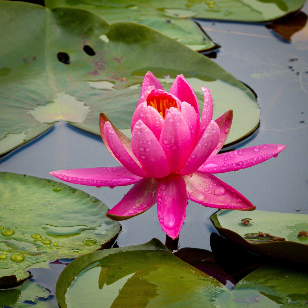
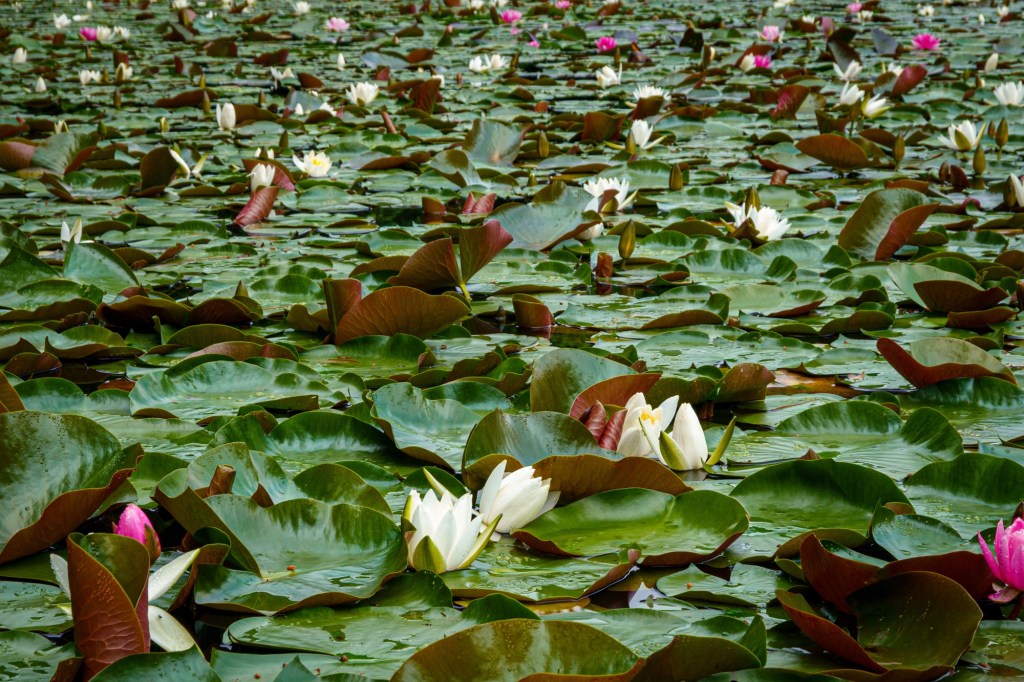
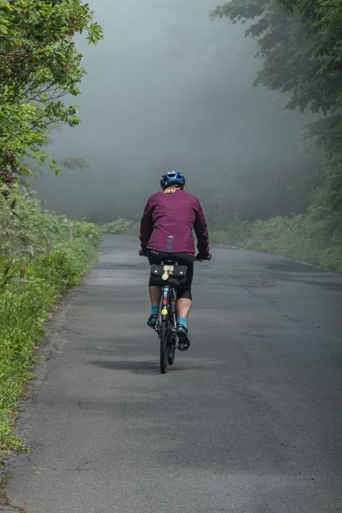
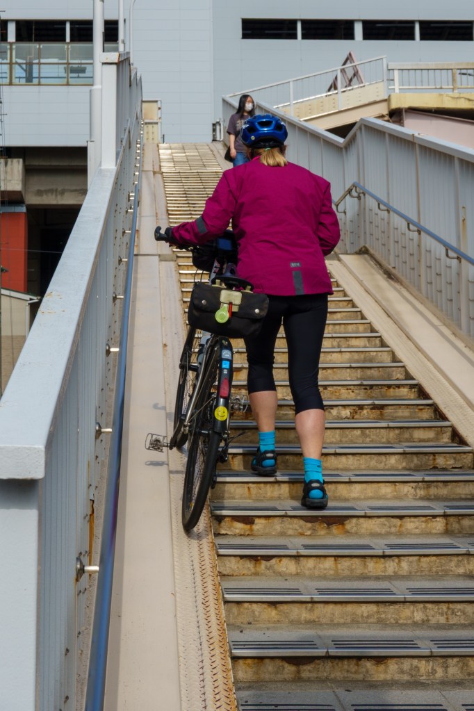
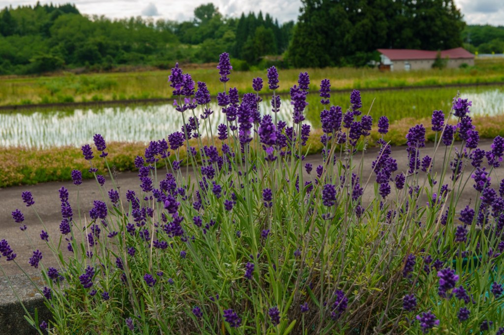
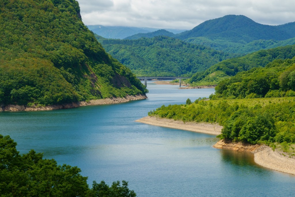
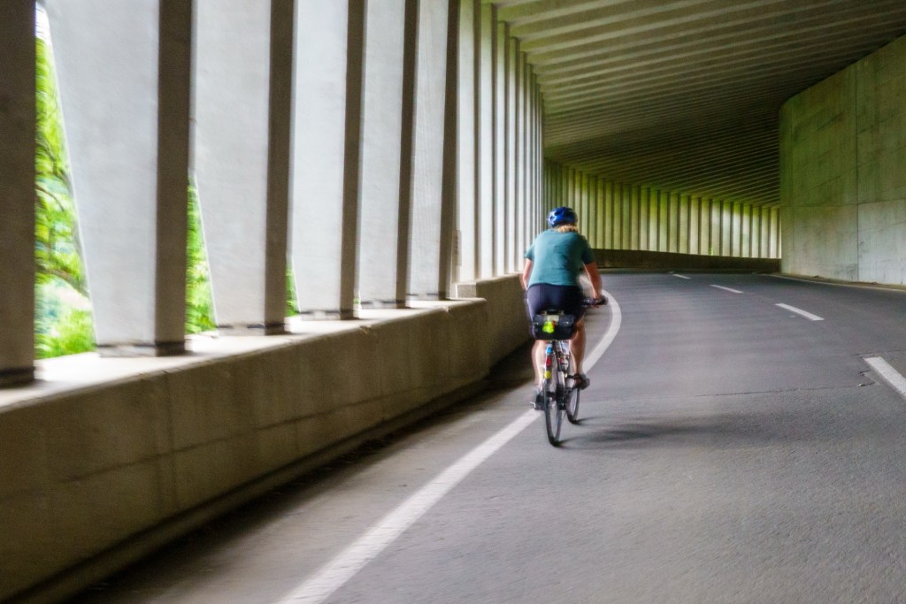
Today was quite a long one, though still 24hours. So we only got to see a path along the roadside. Very pretty though, with the occasional weed trying to disguise itself.

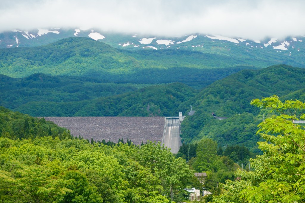
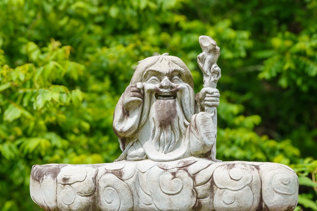
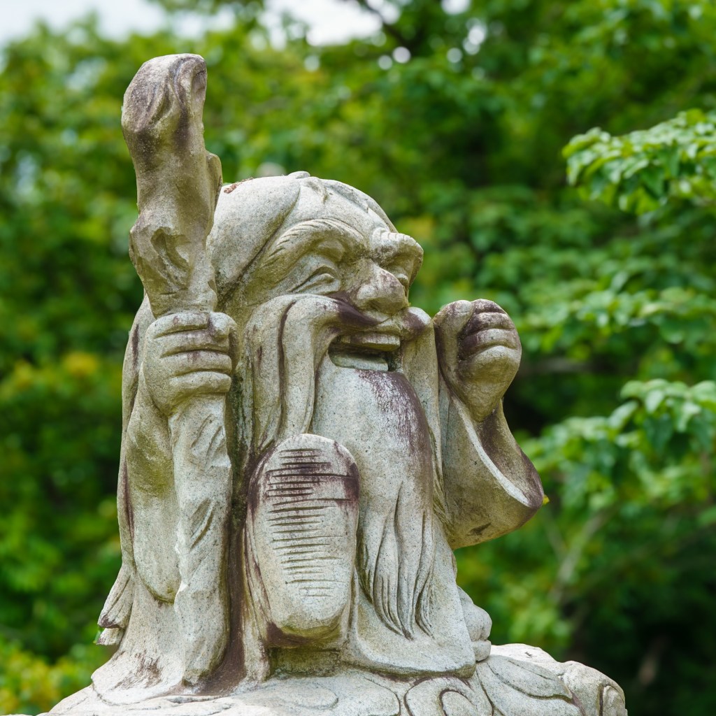
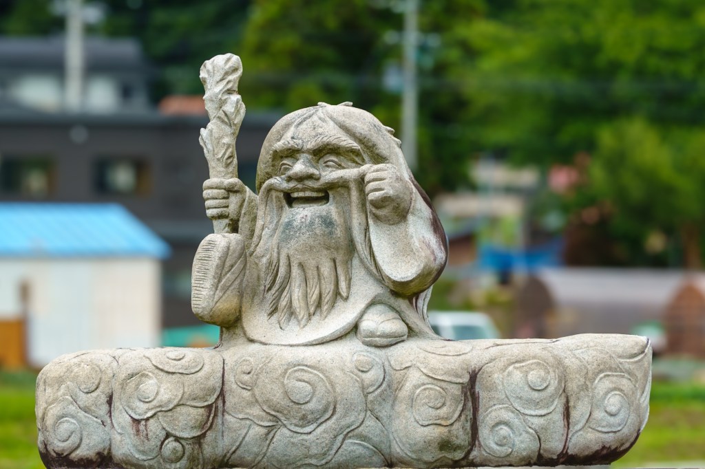
Kakunodate is famed for its Samurai housing dating back to 1620. Cherry trees, and snow. This basin gets the highest snowfall in Japan.
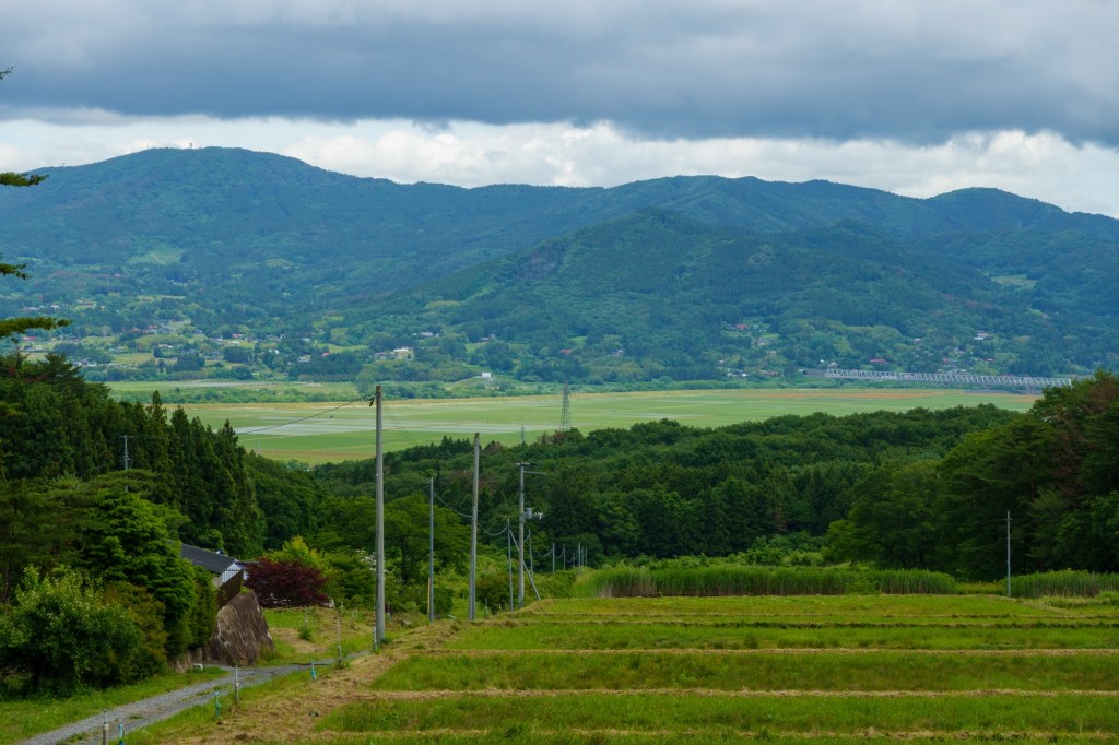
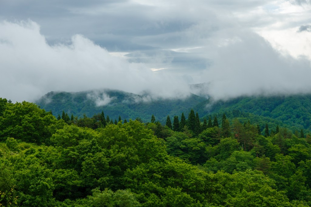
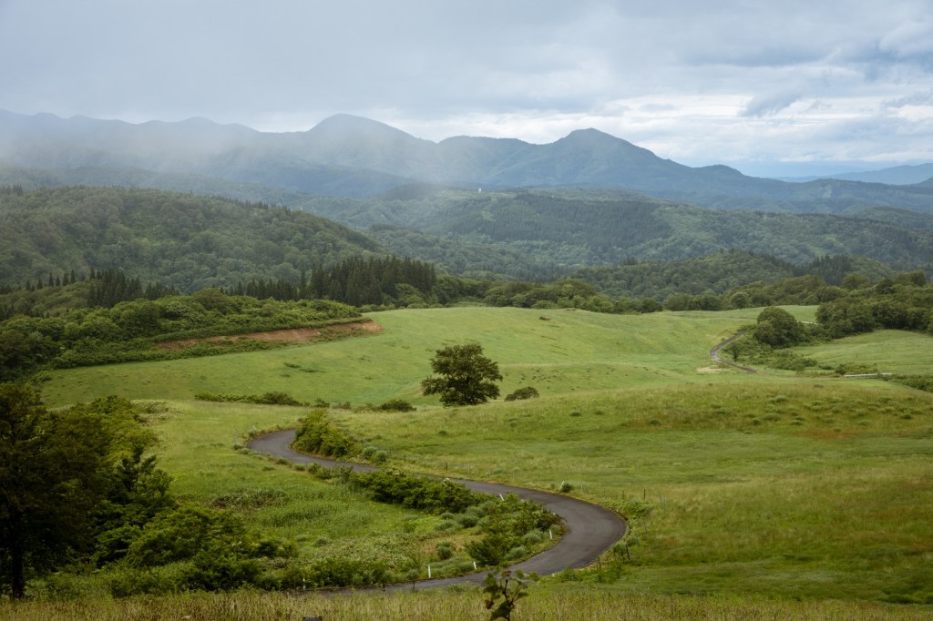
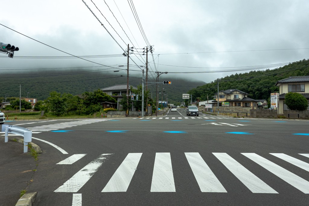
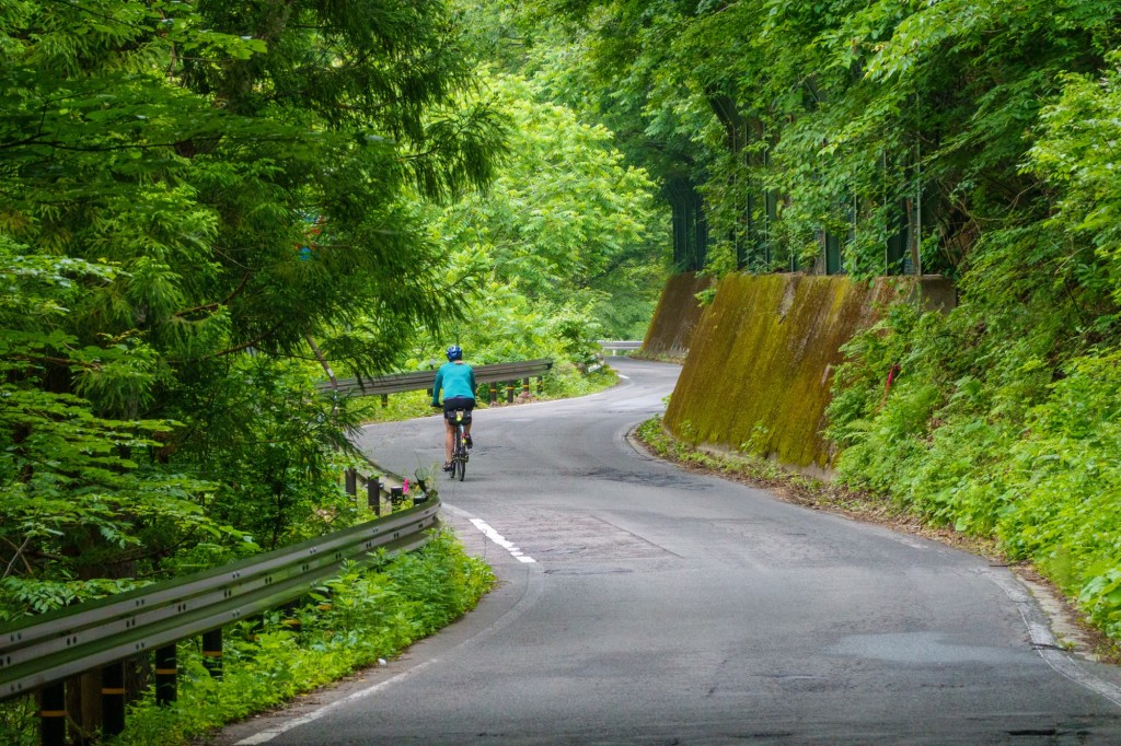
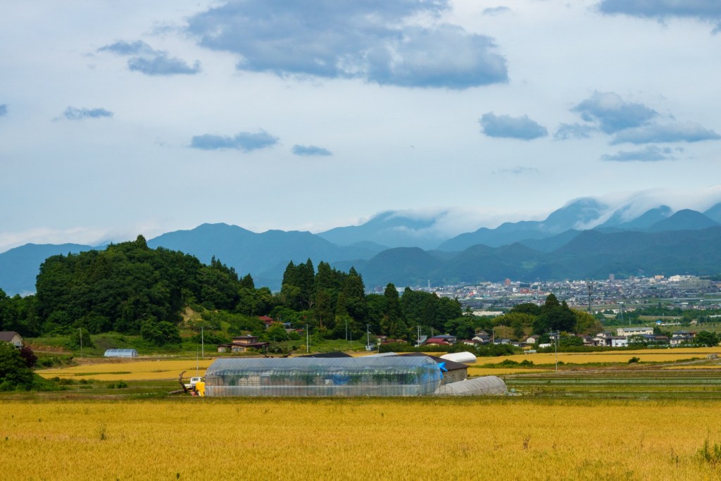
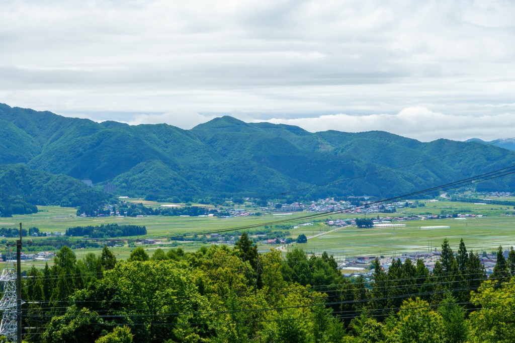
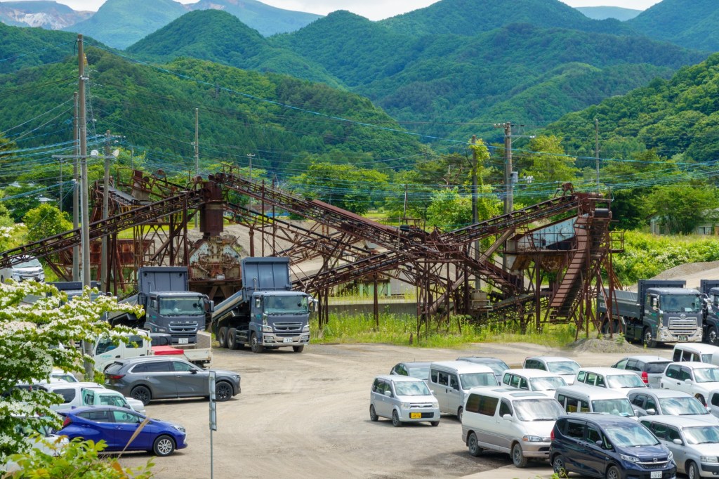
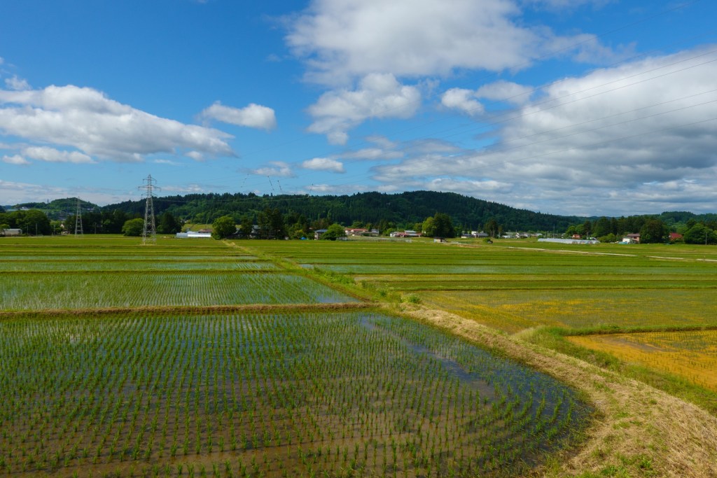
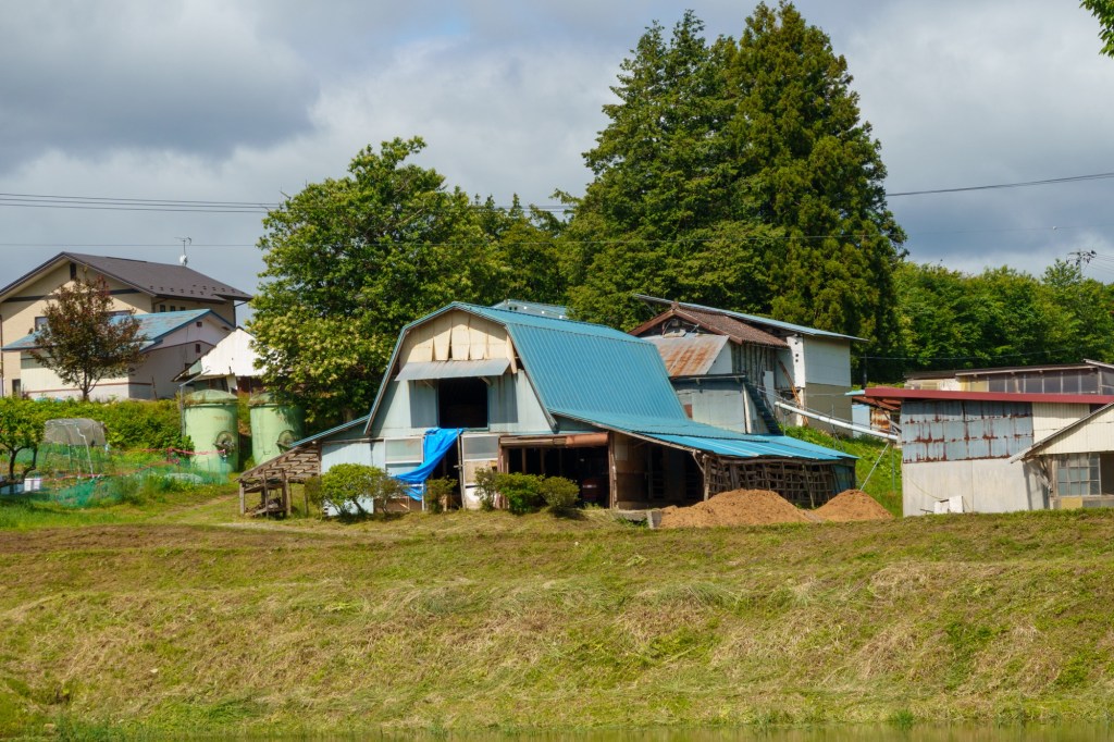
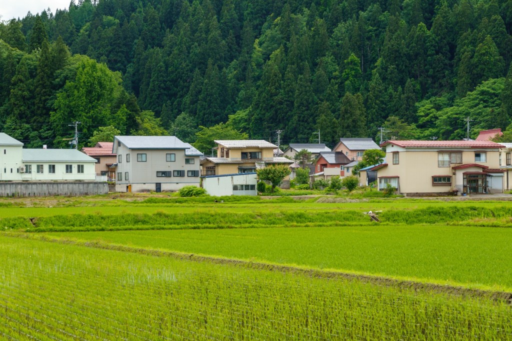
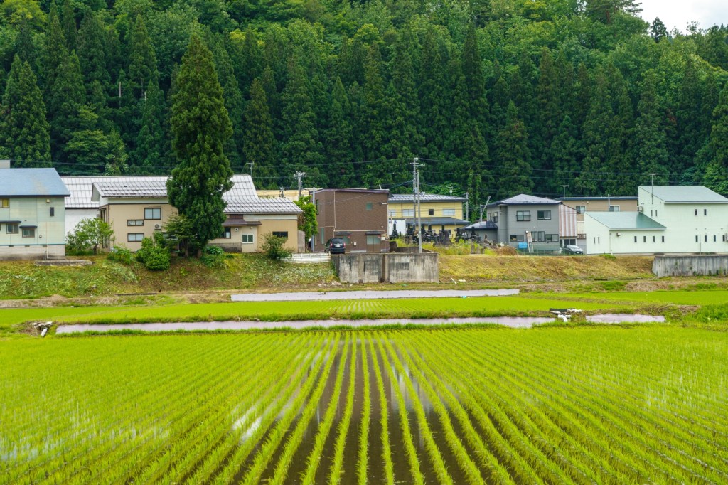
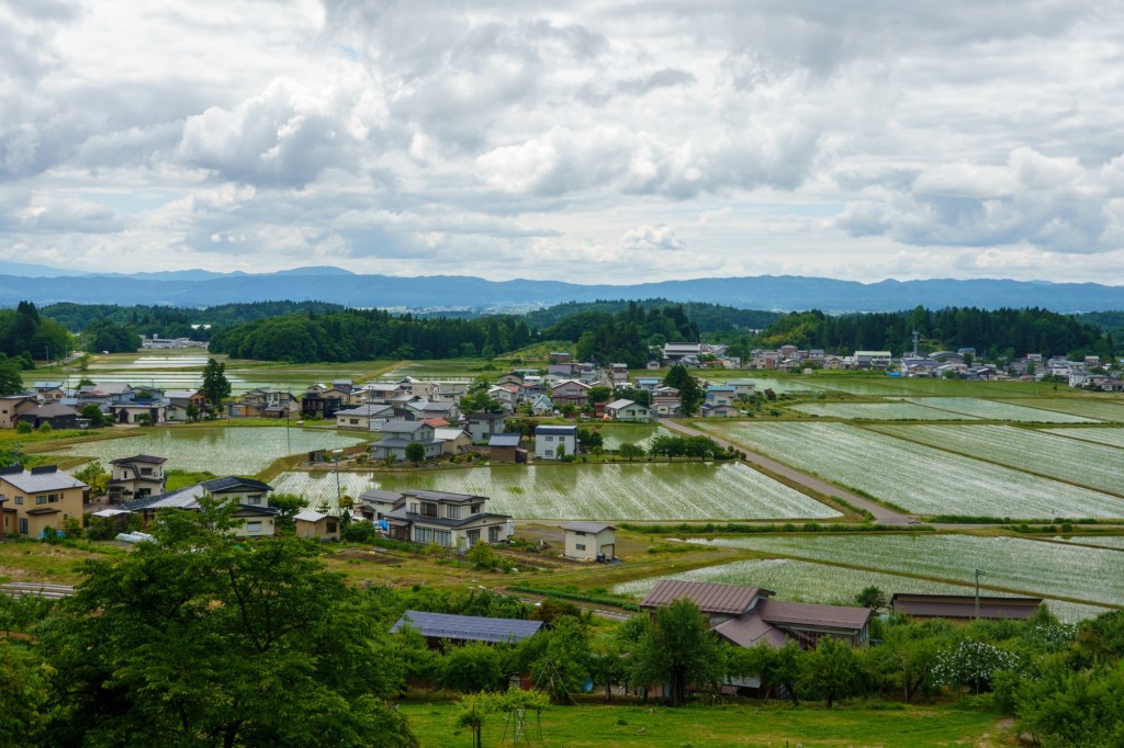
Not today, just a headwind as we wound our way through the forests and plains. The latter was buzzing with wee folks tending their crops: small towns full of repair shops for tractor like things.
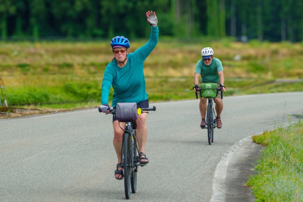
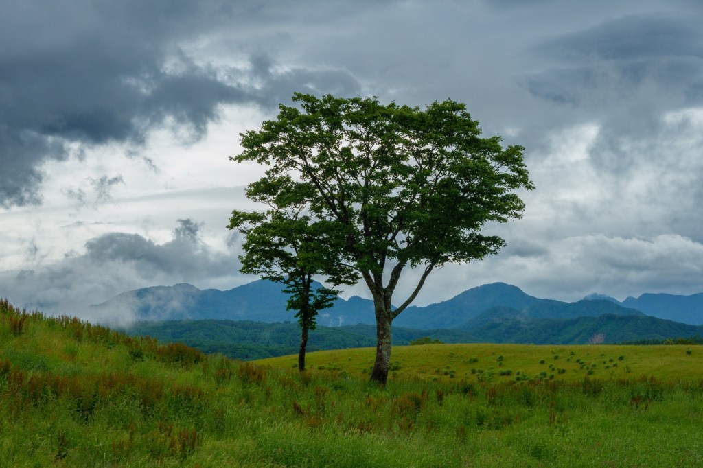
All in all, not too shabby a day.