First up a mootch across town to the Botanic Gardens. A quiet green space with flowers. Probably more to it given it’s 1886 ancestry as part of the University. Anyway we discovered a marvelous coffee shop enroute, so all worthwhile.

PM was to Hokkaido’s cemetery, or rather the Hill of the Buddha – part of the overall park. The taxi driver got a little confused and added a good fee driving around the 70000 graves.
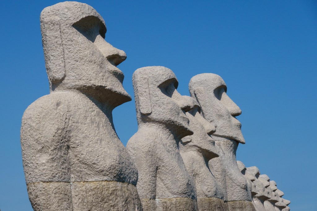

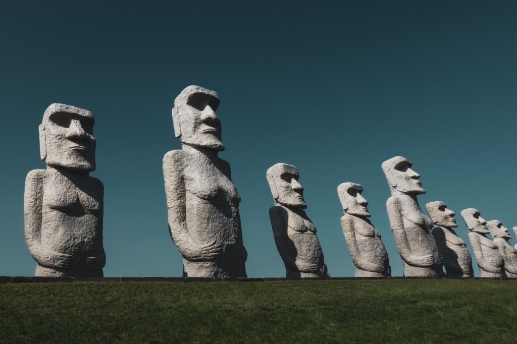
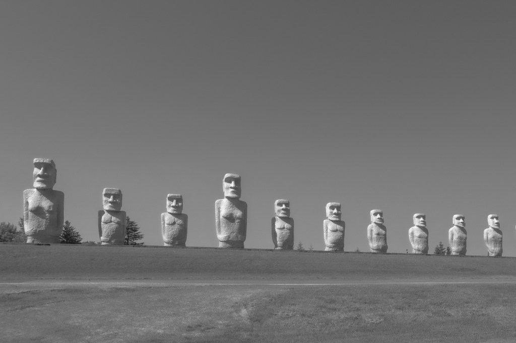
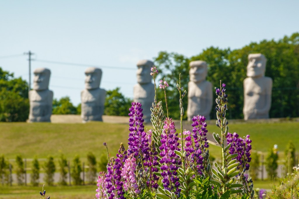
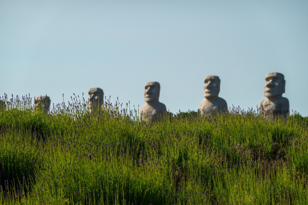
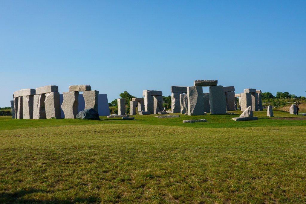
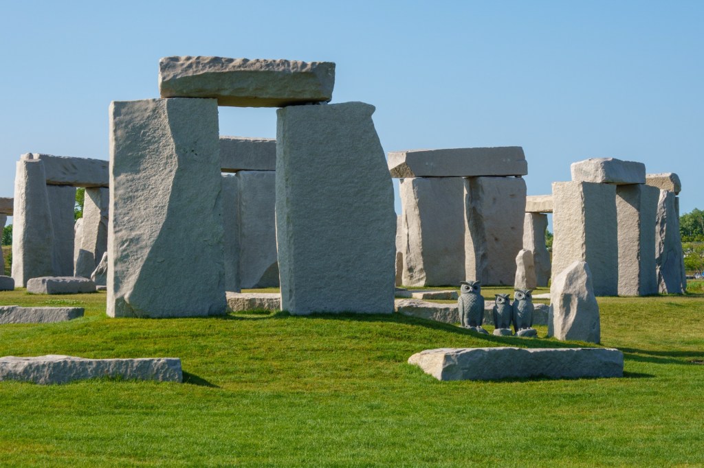
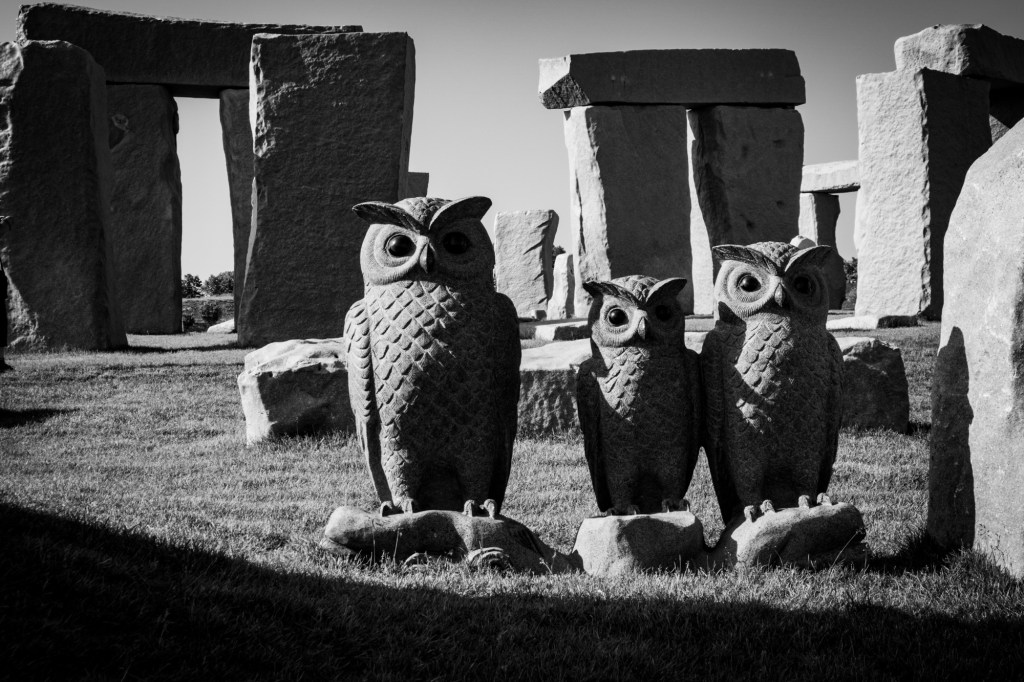
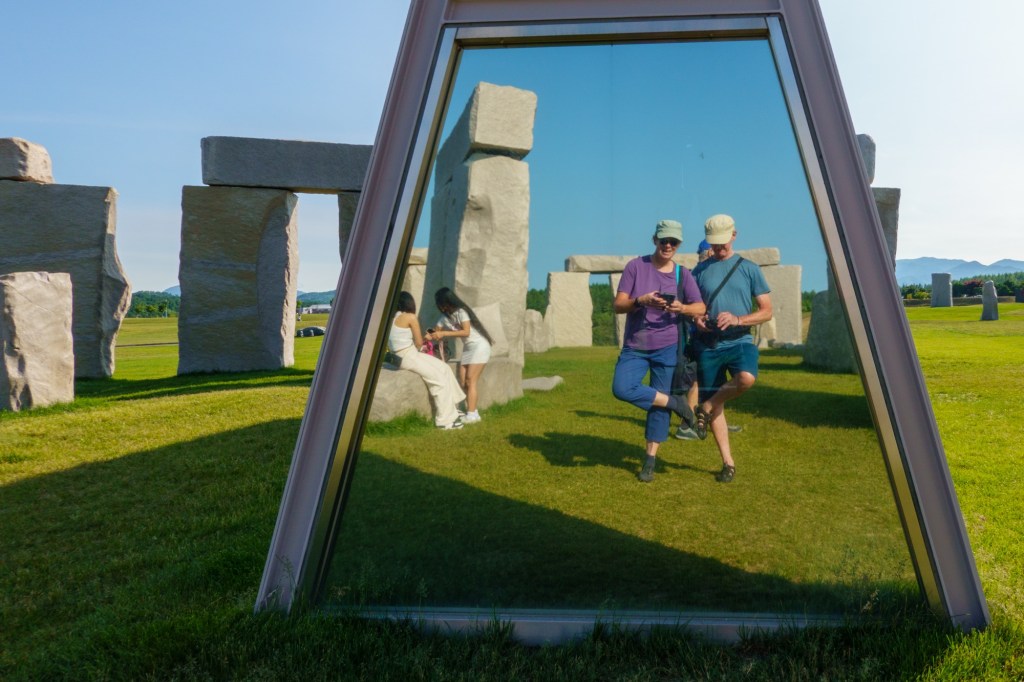
All he had to do was to spot the giant replicas of the Easter Island Moai statues and Stonehenge. A little incongruous but strangely work.


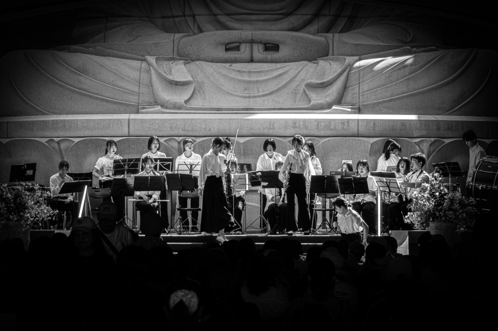
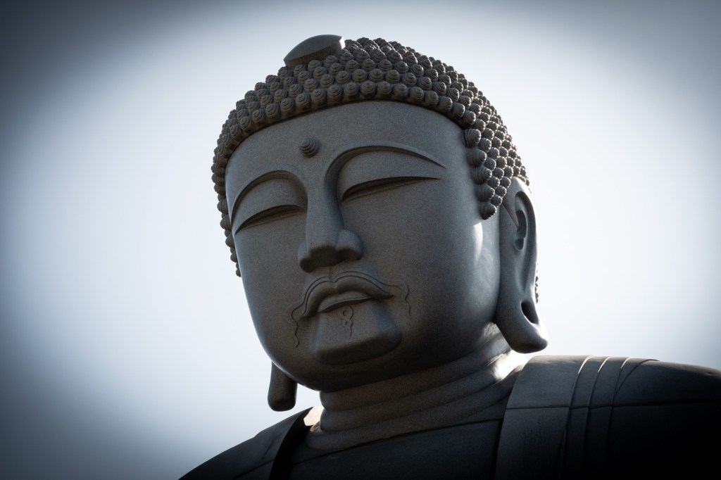
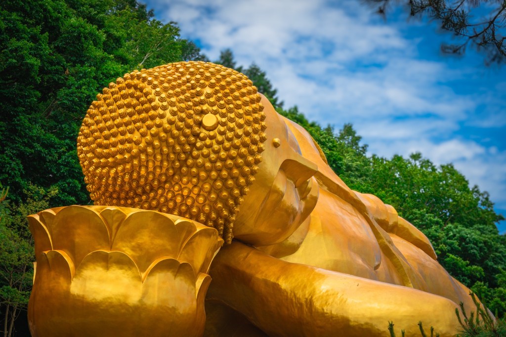
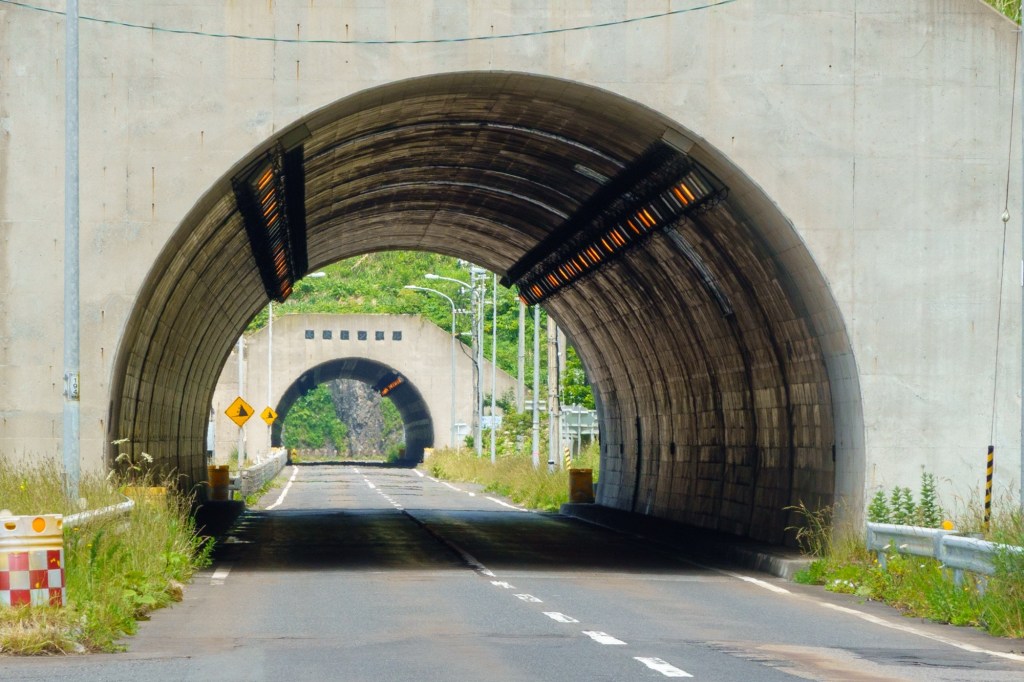
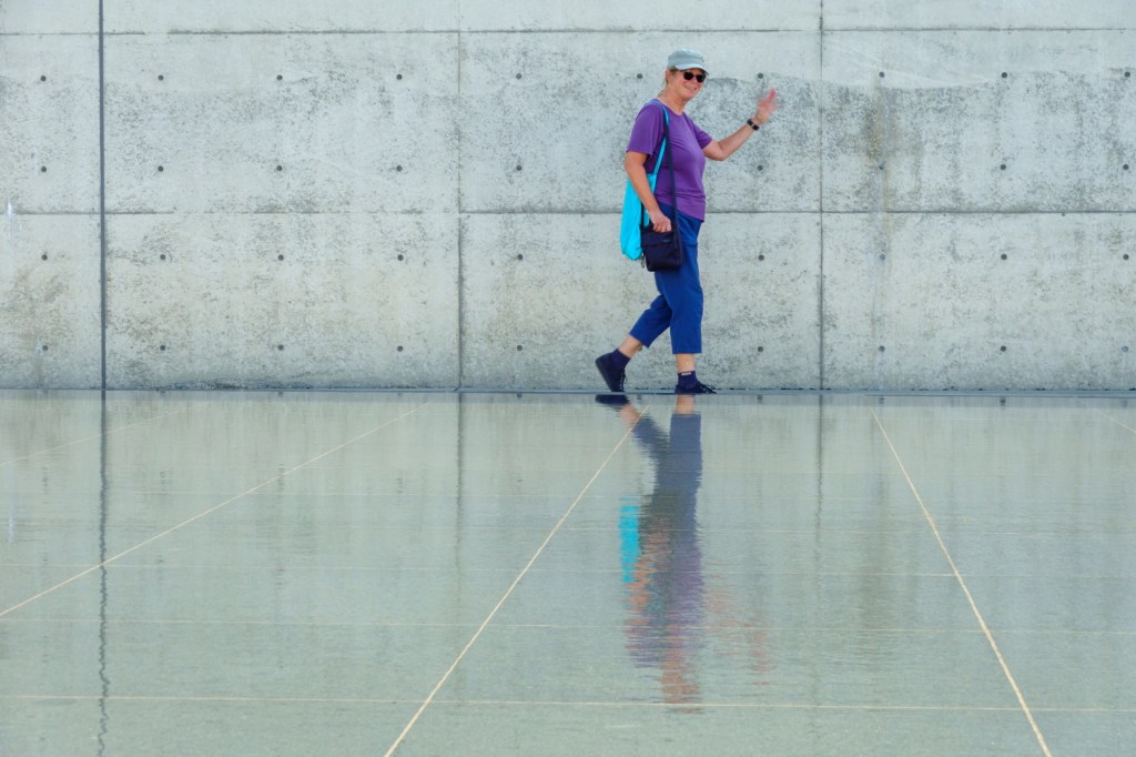
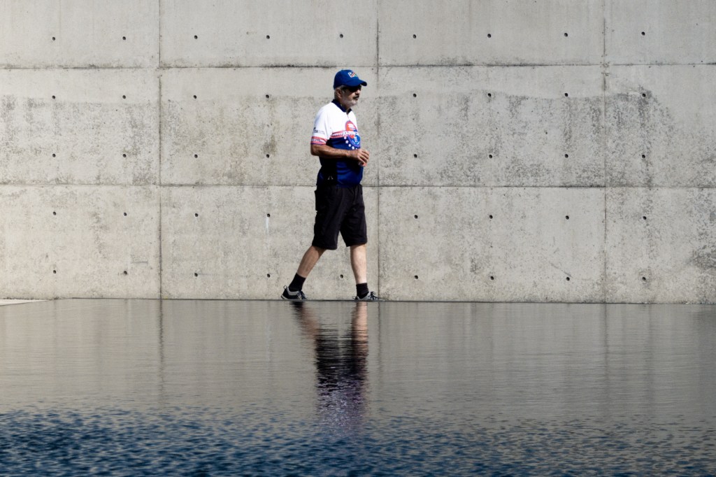
The star attraction is the Buddha. Originally built open to the hill in 2000, Tadao Ando – renowned architect I learn – built a hill around it leaving only the head sticking out. Like a giant golf tee. You enter via a tunnel which suddenly reveals the huge statue at the end. All a metaphor methinks, a bit of a life journey.

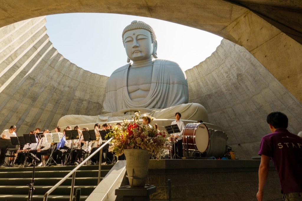
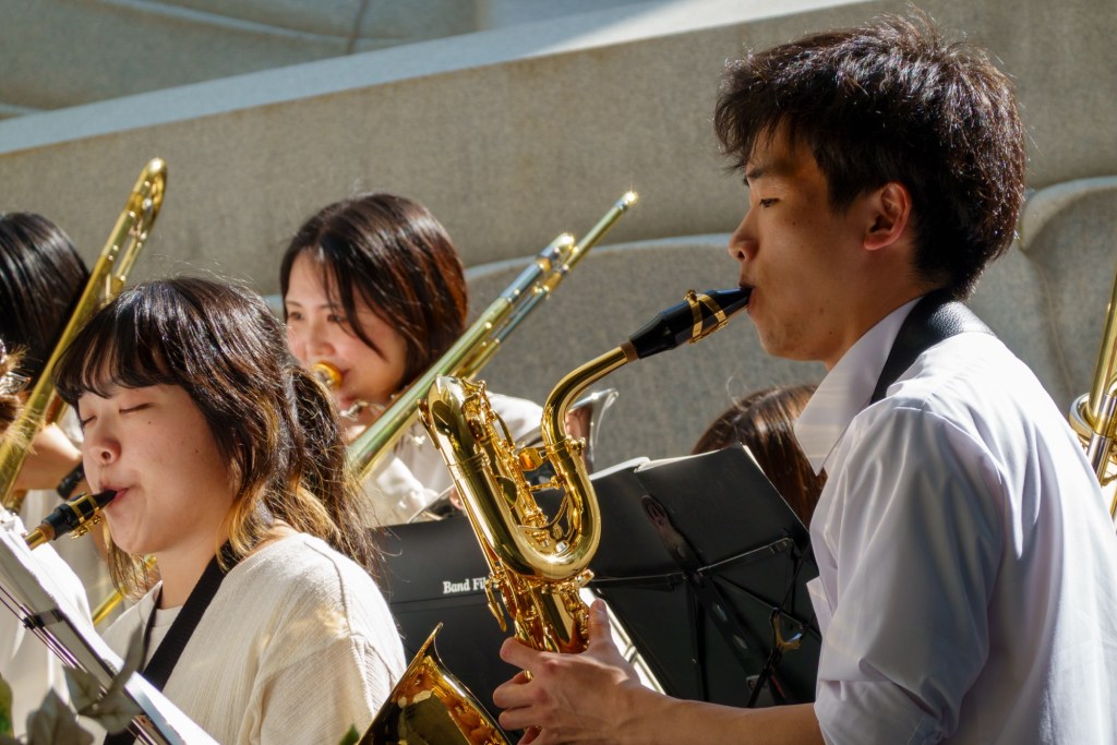
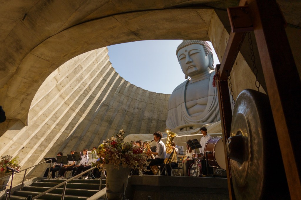
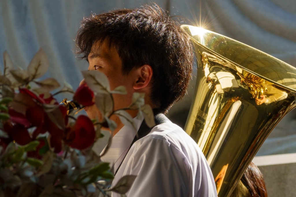
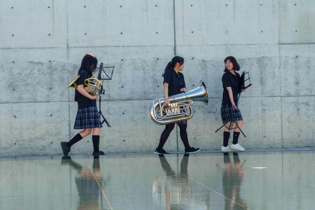
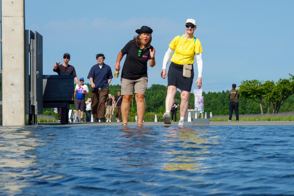
To increase the sensory experience, the hill is covered in 150000 lavender plants. The lavender ice-cream was delicious too. More senses. There was a lovely festival going on with youngsters in brass bands giving the sound sense a work out.
The taxi back was cheaper.
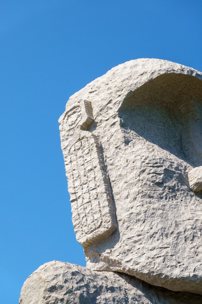
PS Stonehenge is a mystery.
Tomorrow we head home. A future blog awaits, the return of Around the British Coast.