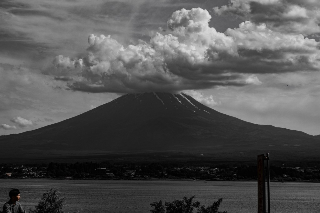
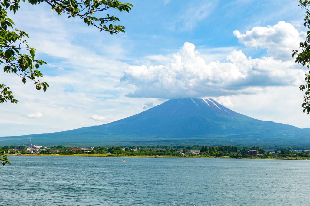
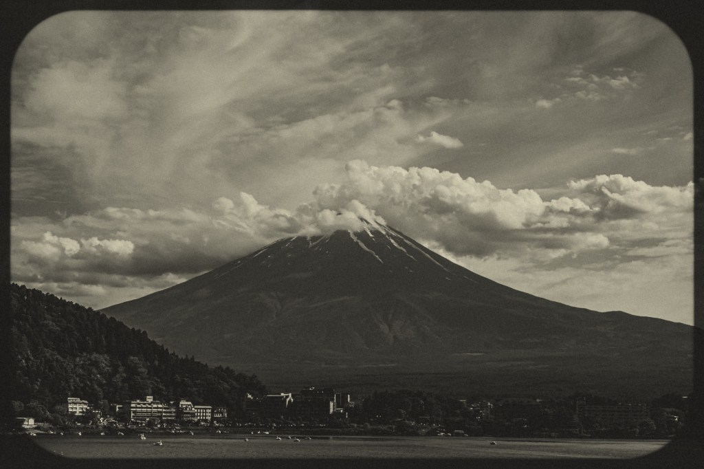
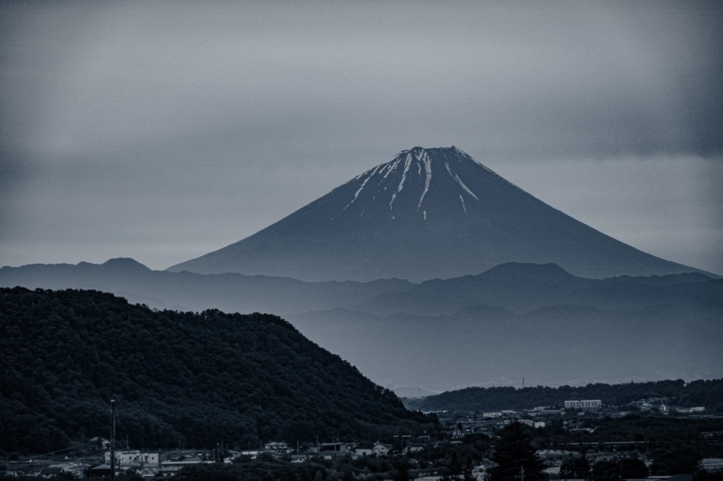
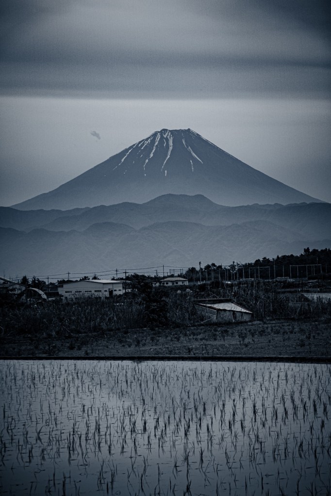
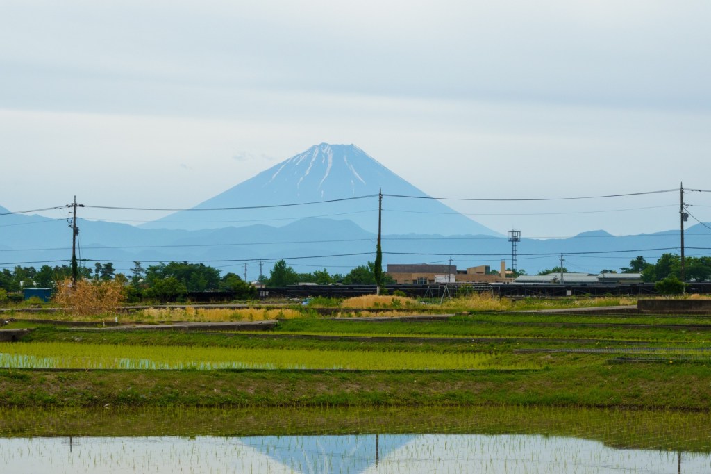
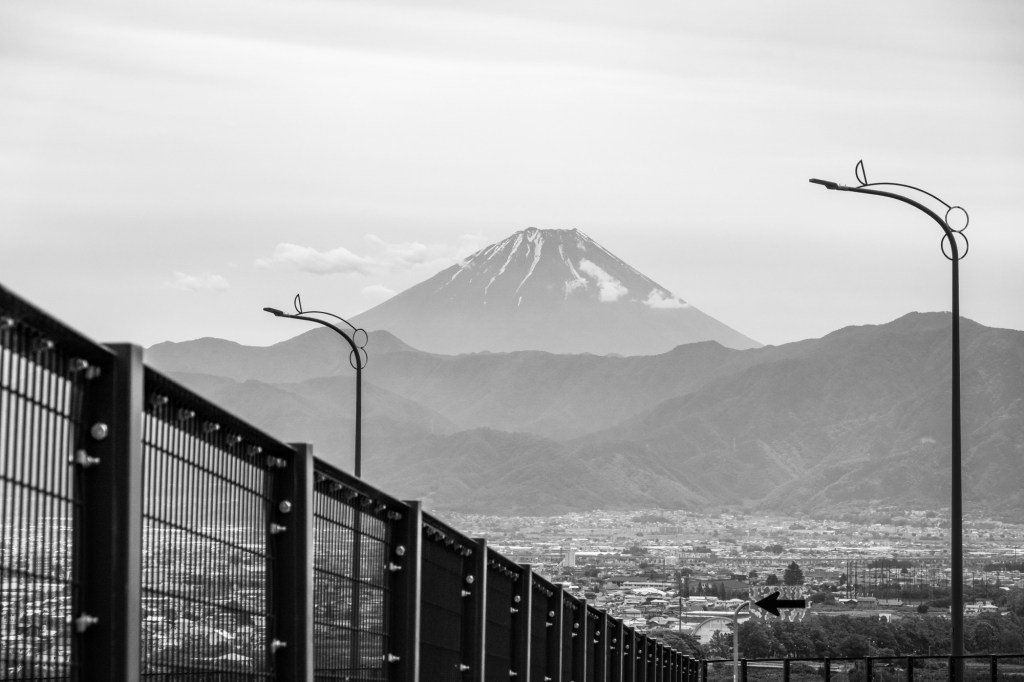
Fujimi means view of Fuji. It hoved into view shortly after we started our descent to the valley floor. It remained in view for a good while, then tucked away behind some closer hills before reappearing at the day’s end.
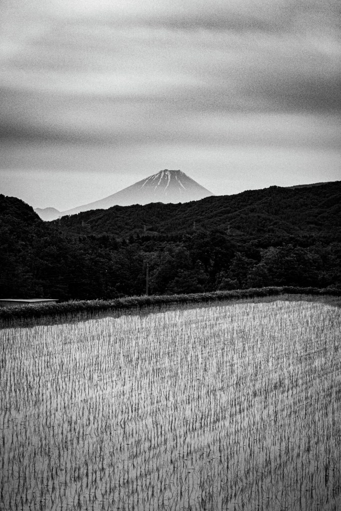
Quite a beast. Its symmetry is great, created during an eruption some 10000years ago, though of course its a bit older. It sits above three tectonic plates – Eurasion, North American and Phillipine which bump along creating earthquakes and volcanic activity. Last erupting in 1707 it is classified as not being in any rush to vent soon. That’s a forecast by experts who will probably also be happy to explain why they were wrong after an event. Or am I thinking of economists missing the 2007 crash?
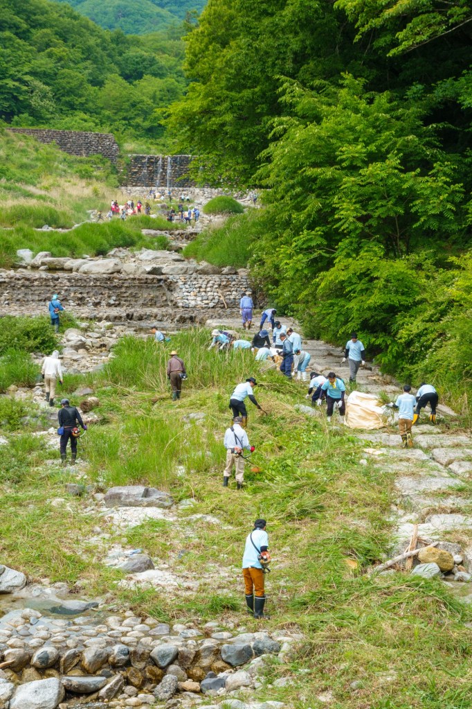
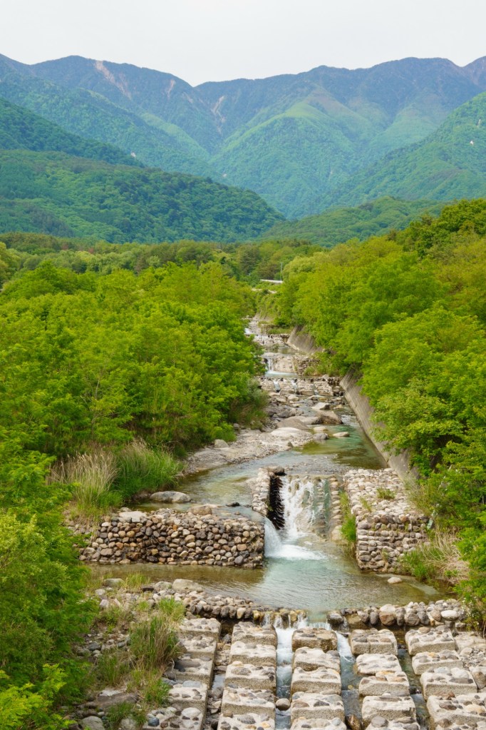
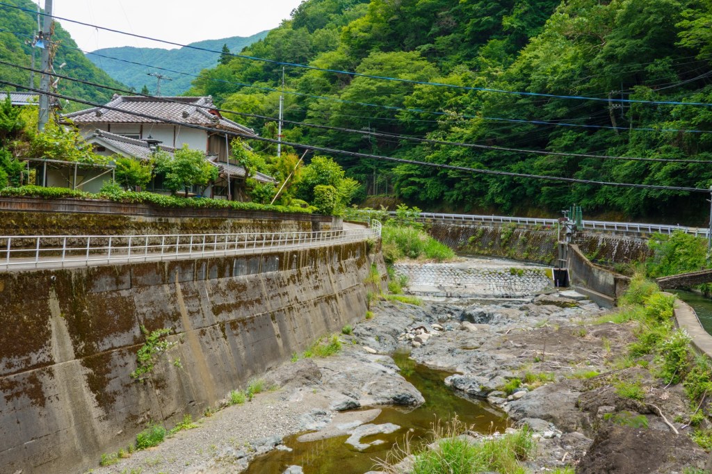
The other great feature today was the huge dryish river beds carving their way down the hillsides. The amount of water which must fill them in the melt season or after heavy rain is barely comprehensible.
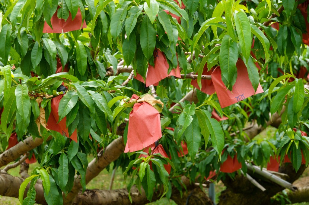
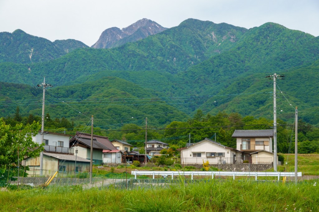
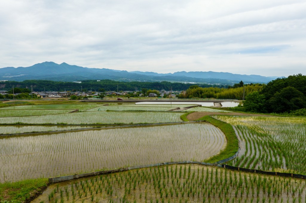
I’m presuming the fertility we saw in the valley floor is related to old volcanic activity and flood waters. Lots of areas of land growing produce – though perhaps not suprising given the water theme, was rice. Japan grows approximately 7.15 to 7.48 million tons of staple rice annually. Nearly 100% self-sufficiency, cultivating the grain across roughly 2.3 million hectares of farmland. It is still the staple diet here. Maybe just a little room for porridge?