Today enters the old industrial belt of Scotland. The ‘modern’ Grangemouth is visible on the horizon. Closer are the canals (Forth & Clyde, Union). These were the artery for the movement of coal iron and limestone, industries that once thrived here. We pass the first of these at Carron.

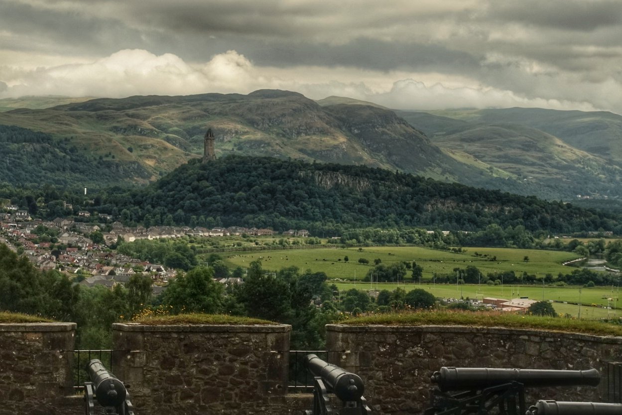
Wallace monument 
Hold your nerve 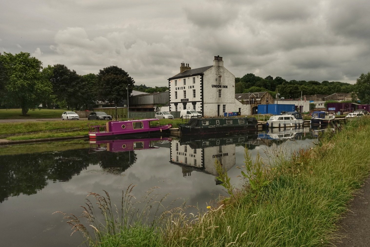
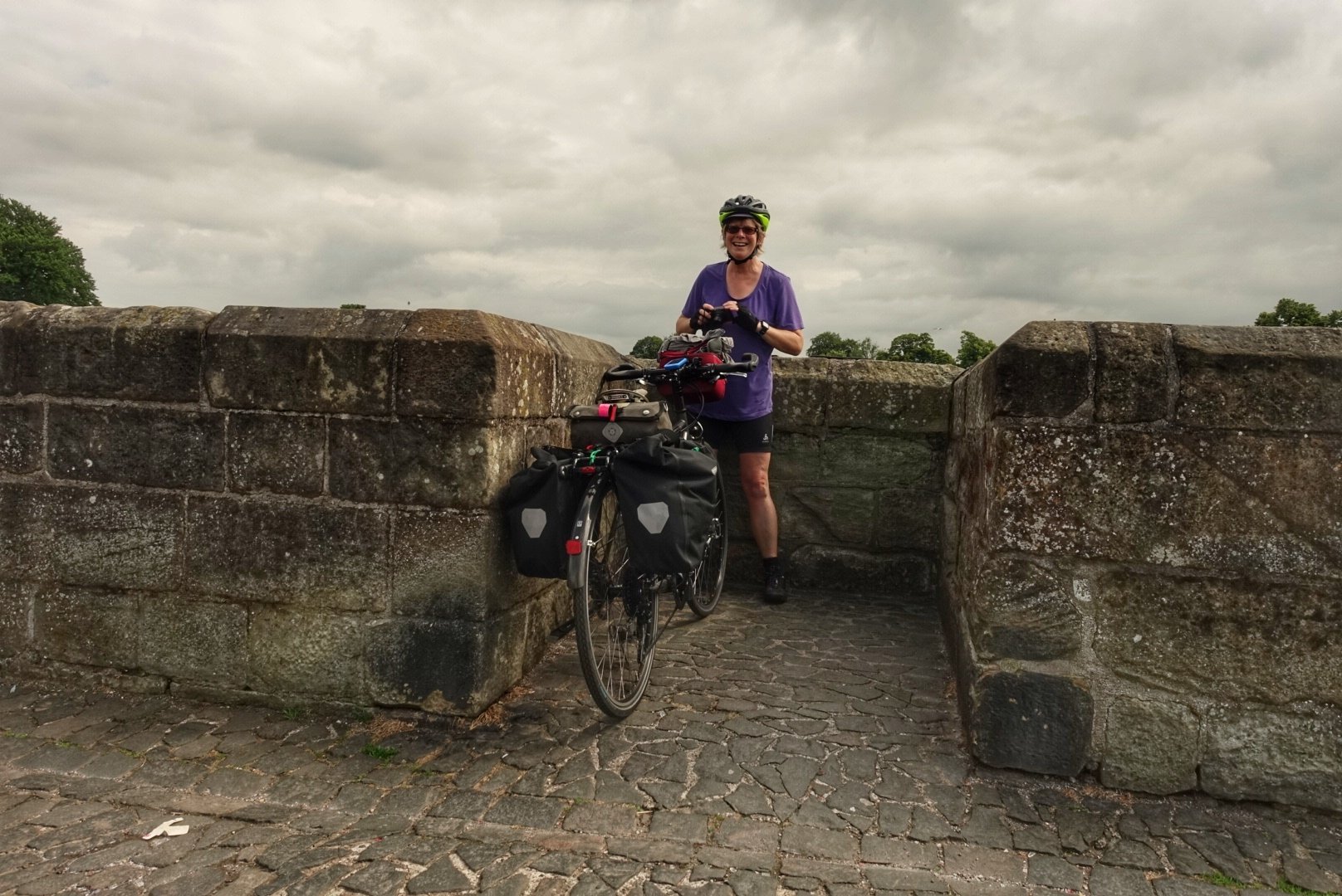
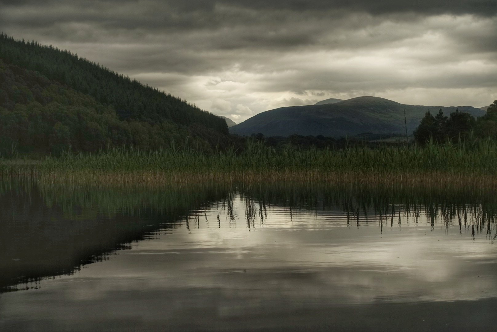
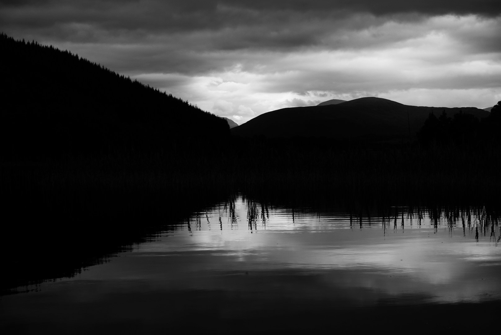
Still 
Celebrating 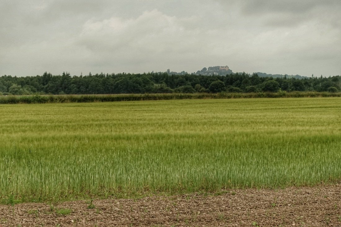
Small Stirling 
Small Wallace
Two ‘middles’ come quickly. The junction of the canals marks the centre point between Glasgow and Edinburgh. The Falkirk wheel remains impressive marking of the Millennium. The Falkirk Tunnel raises the adrenaline: wet cobbles in a dark narrow space. Explains the cyclist dismount sign I should have paid attention to. The other middle is at Harthill the watershed of the central belt.
Harthill is also the start of former coalfields. They must have been impressive given the distance between the remaining spoil heaps. Another clue is the huge Blacklaw windfarm. This was built after restoring the open cast which followed the mining.
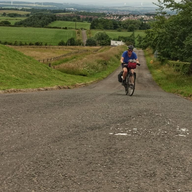
It’s up 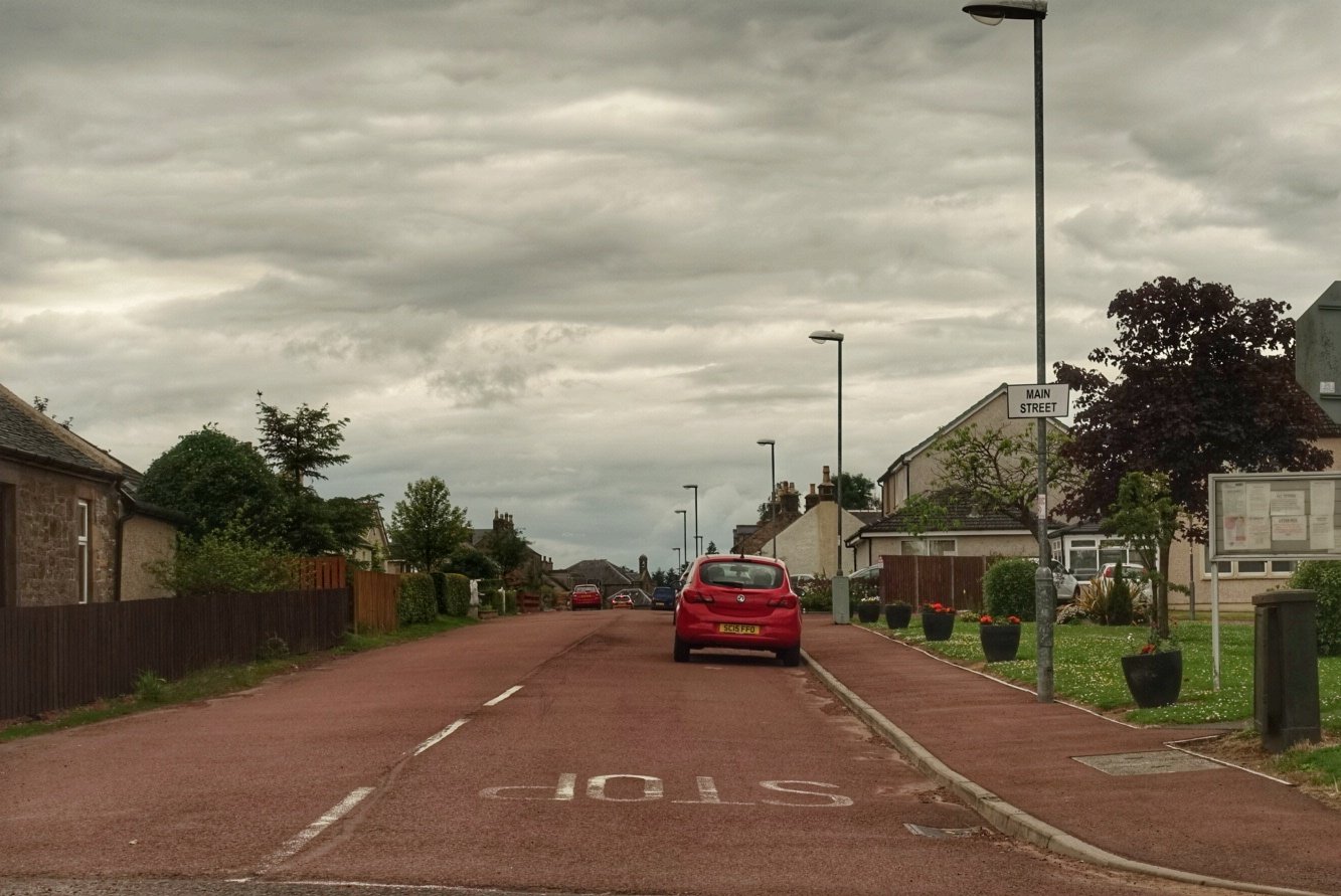
Braehead junction 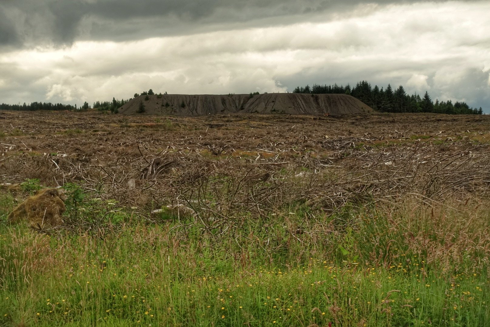
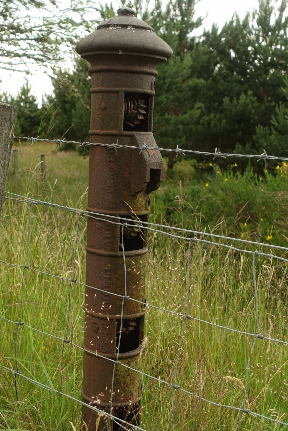
Exposed tip 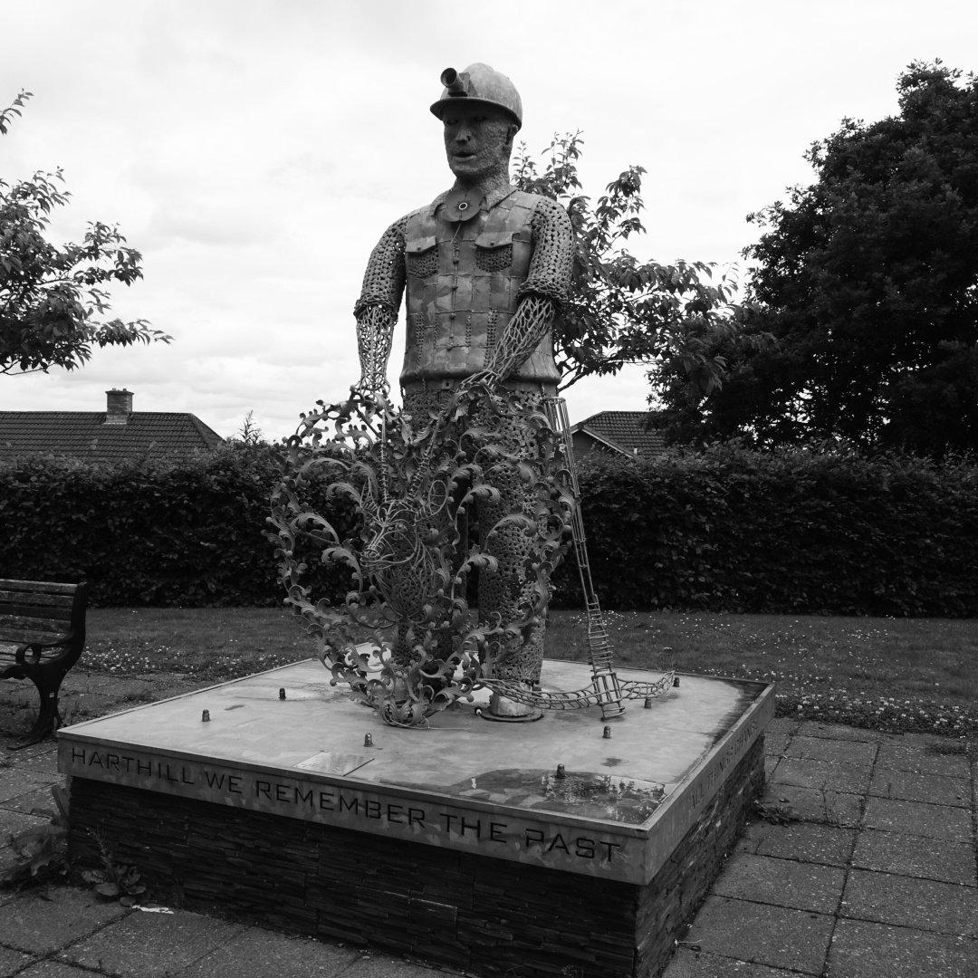
Celebrating 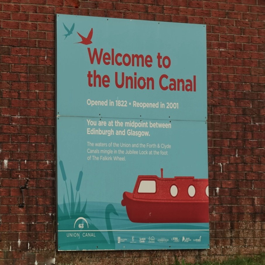
Welcome 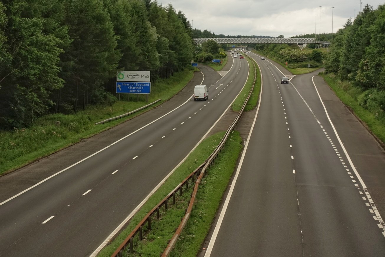
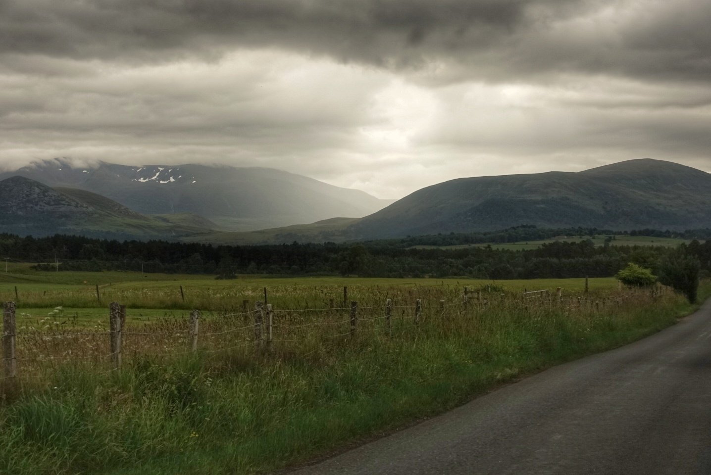
Watershed
Braehead is one of three such called places in South Lanarkshire. Top of the hill. You can no longer see the limestone quarries and ‘clamps’.
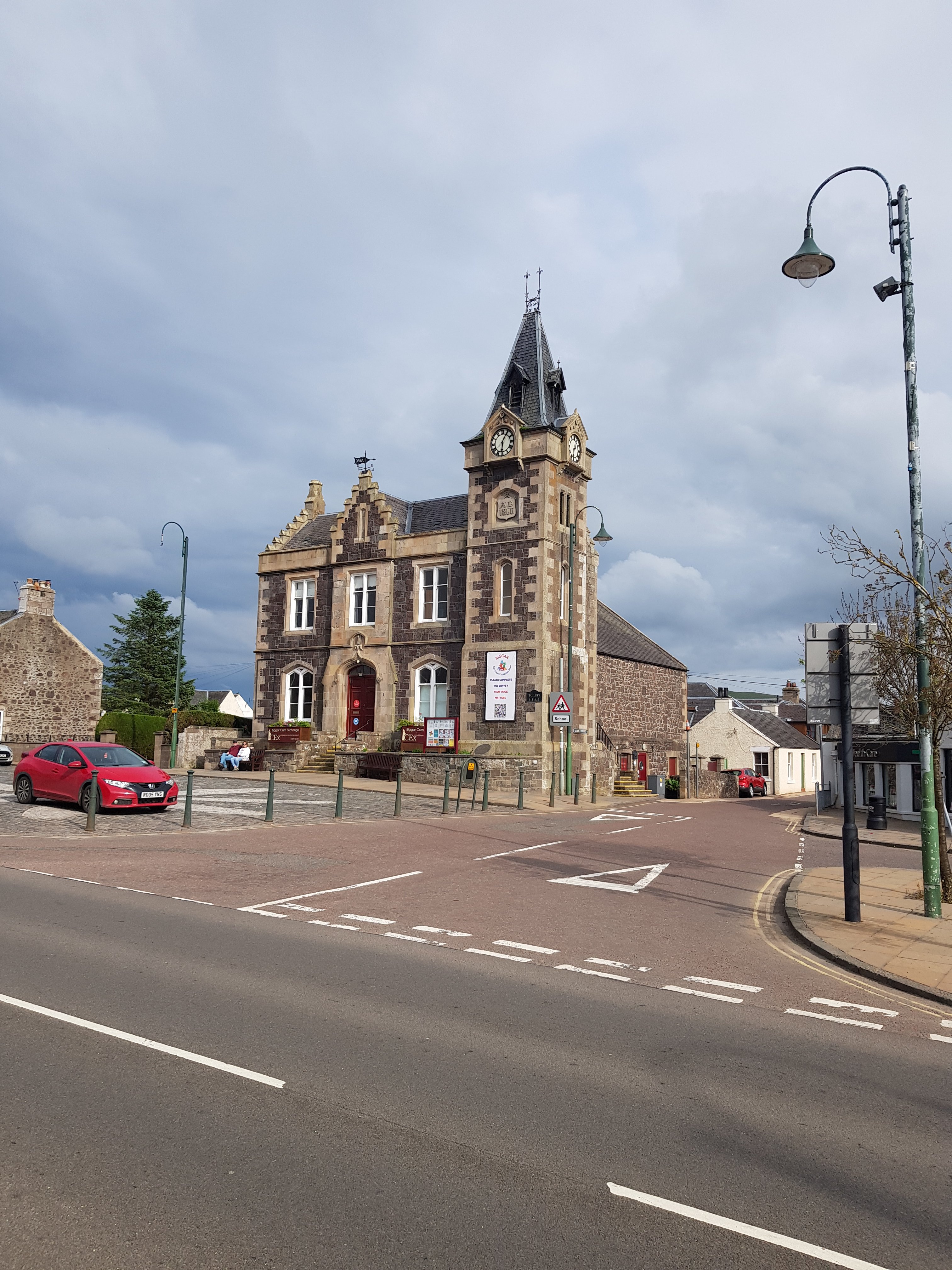
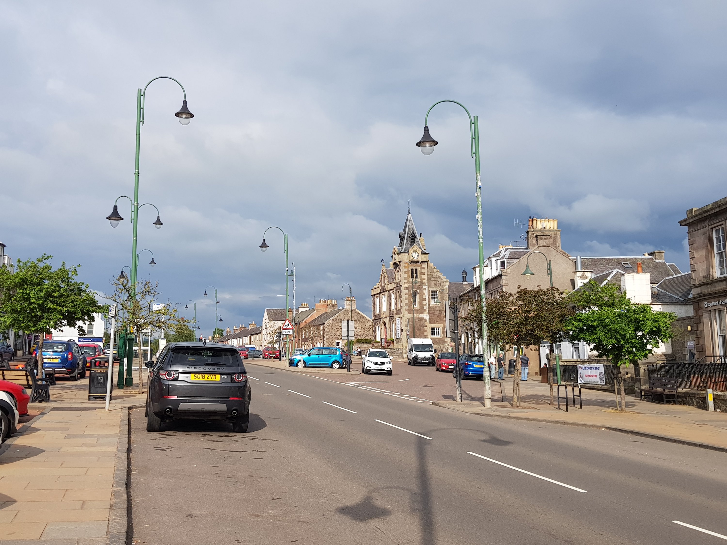
Pentland Hills negotiated, we arrive at the quietly charming Biggar. Tomorrow the Southern Uplands.