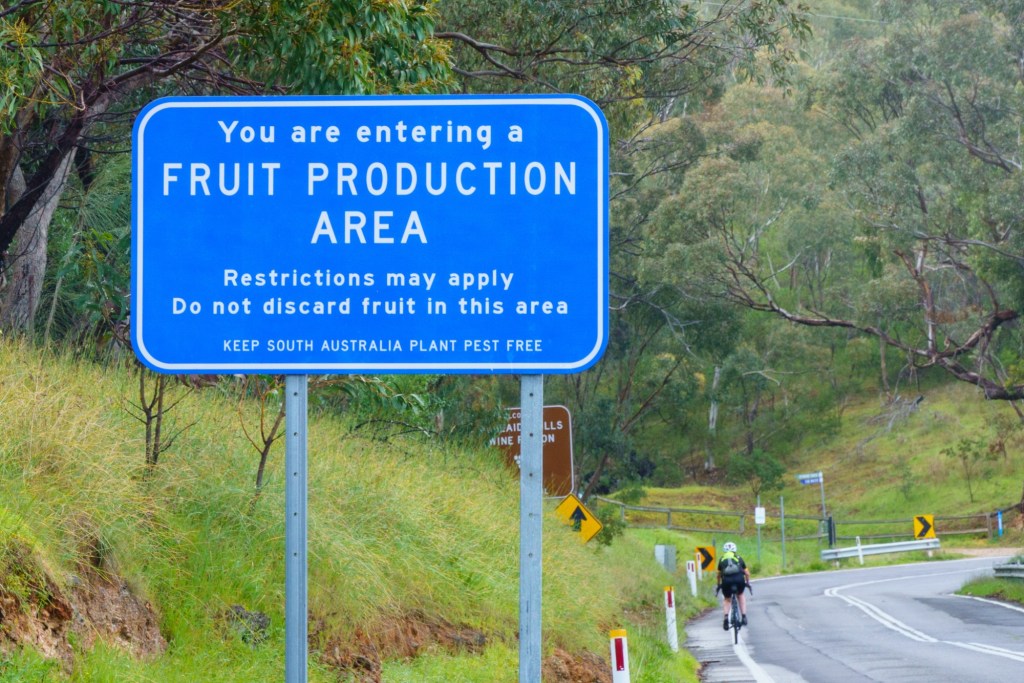
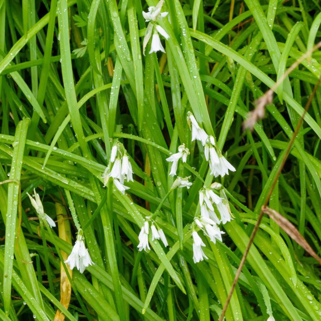
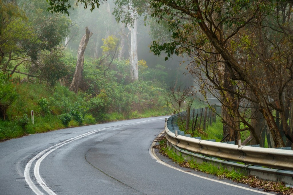
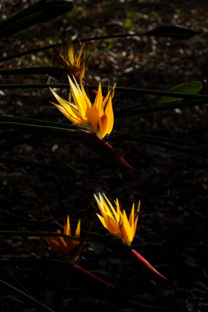
Adelaide is nestled on a plain, sheltered on the east by a ridge. So a nice flat 4k to a photo point to mark the start, then 10k of a fairly constant 7% up. Great views over the city through a misty forest. We had supporting music to cheer us on: the bird song was lovely. Through out the day the spring roadside flowers gave a colourful backdrop.

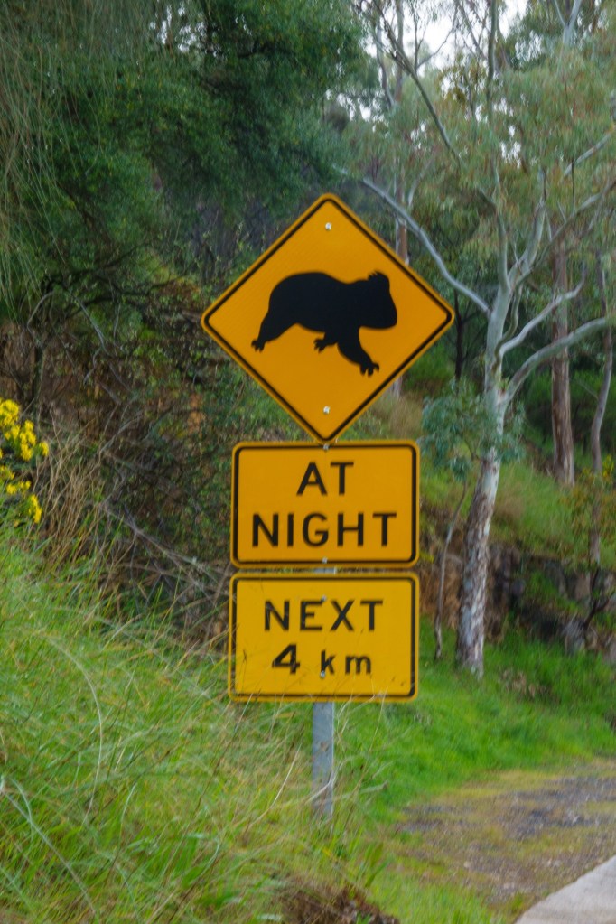


Getting to grips with new road signs. What has a level crossing to do with a cassette I thought? Then I spotted it’s a representation of the flashing lights. Dope. Quiet roads and considerate drivers.


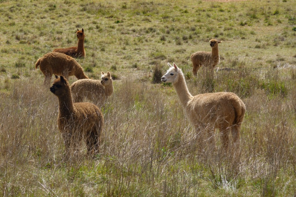
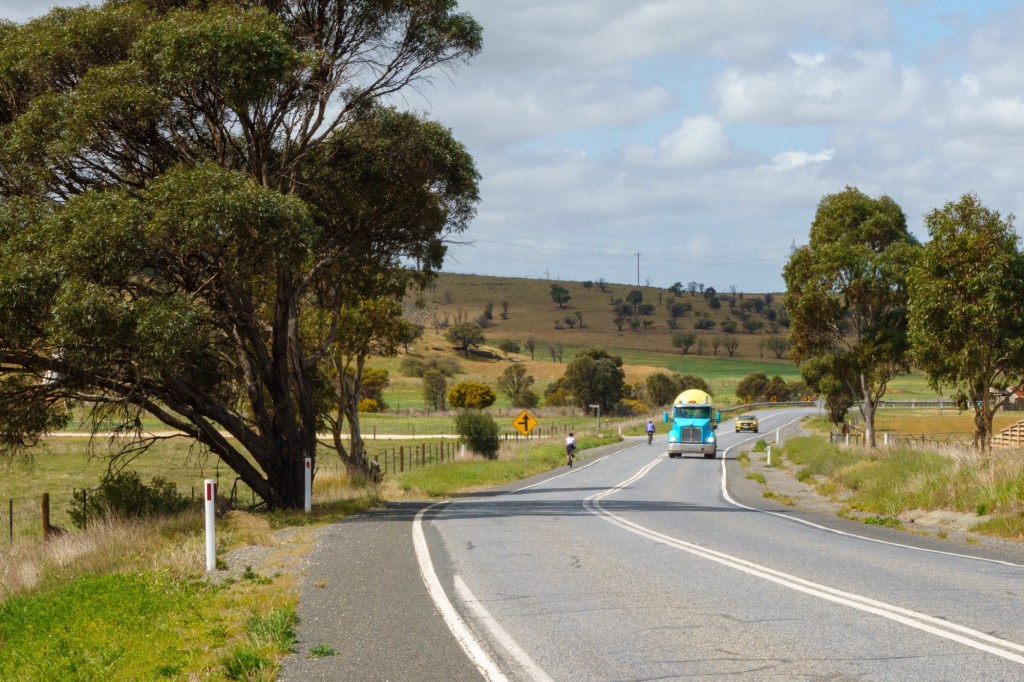
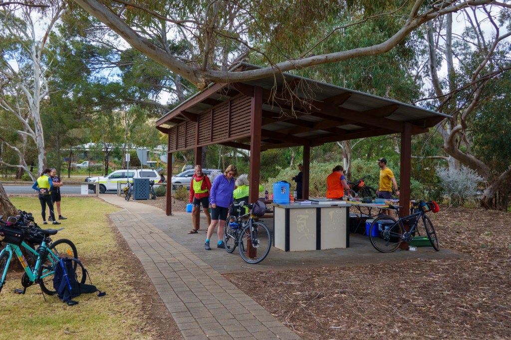
Fast out of suburbia into vineyards then a complete change into more arid farmland. Finishing in Murray Bridge early afternoon.


How do places get names? The river Murray was a key trade route post gold discovery in 1850. A prolonged dispute about where to sight a crossing settled on one place. So a bridge (precast in UK and kept in storage for 7years waiting for a decision) was built, 1879. Murray Bridge. For a while it was road and rail until the second bridge opened in 1925. There’s no info if they thought of changing the name to Murray Two Bridges. So we have water, road and rail and their varying fortunes. It takes longer to read this than walk around!
Good start.
