D43 TransOceania, Taihape – Palmerston North

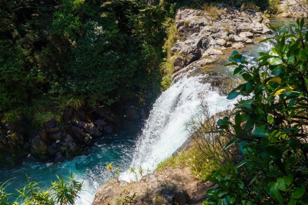
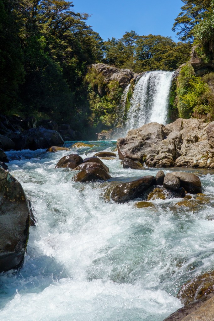
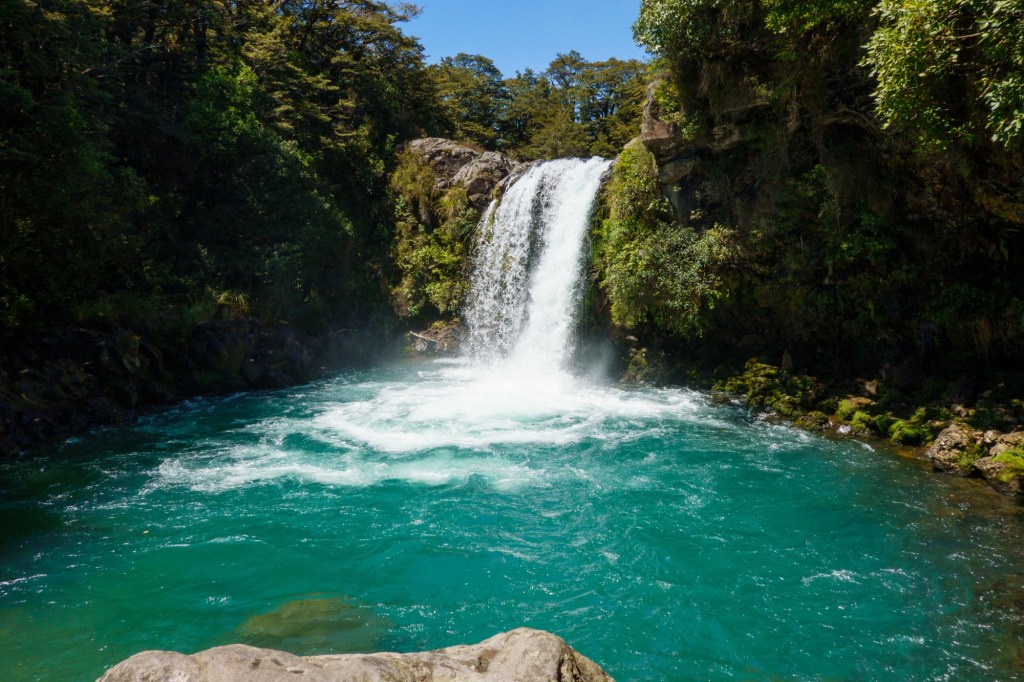
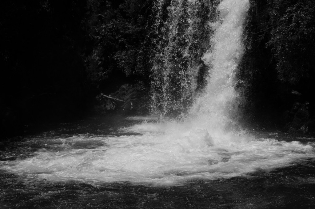
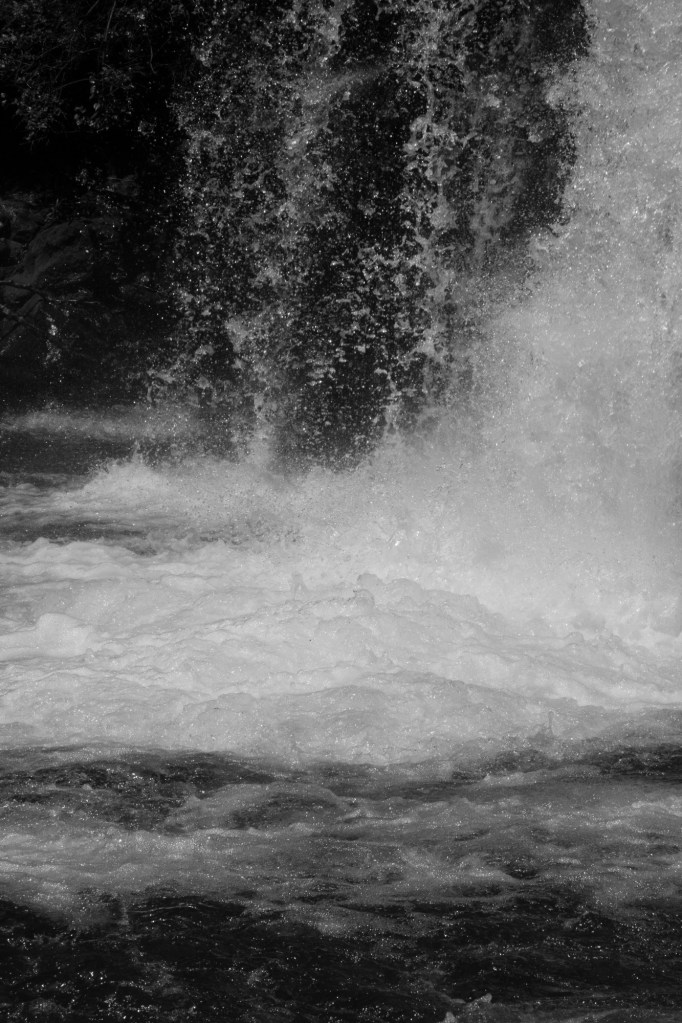
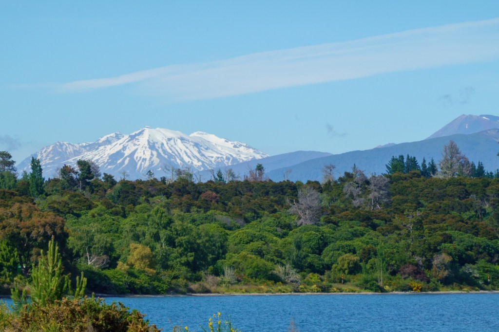
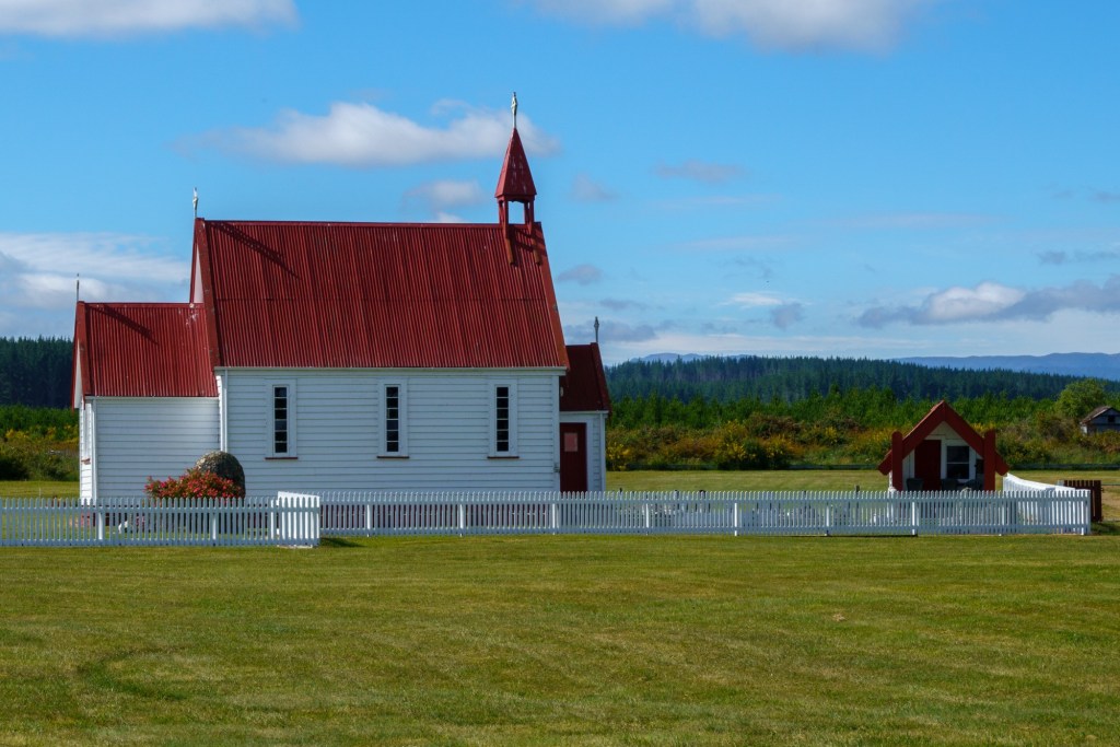
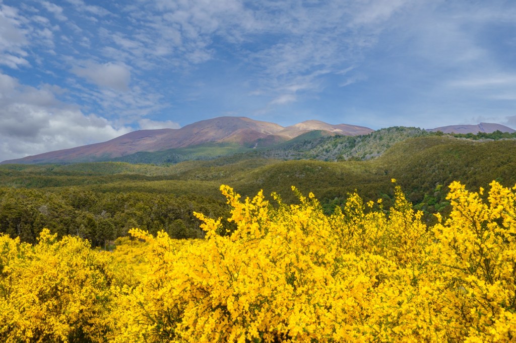
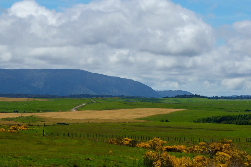
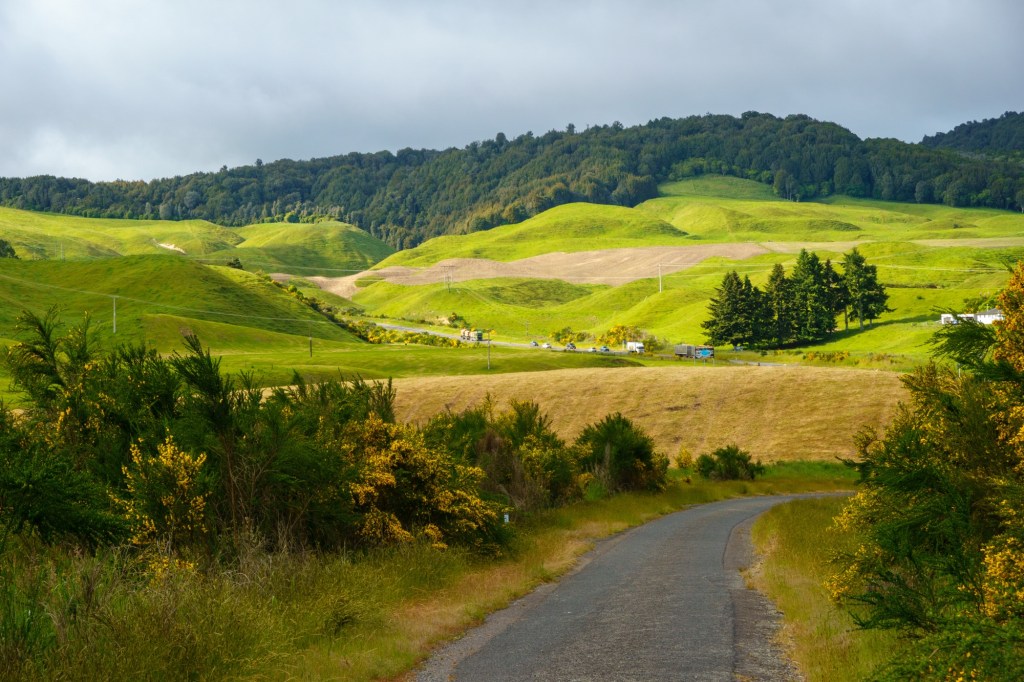
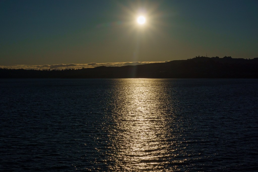
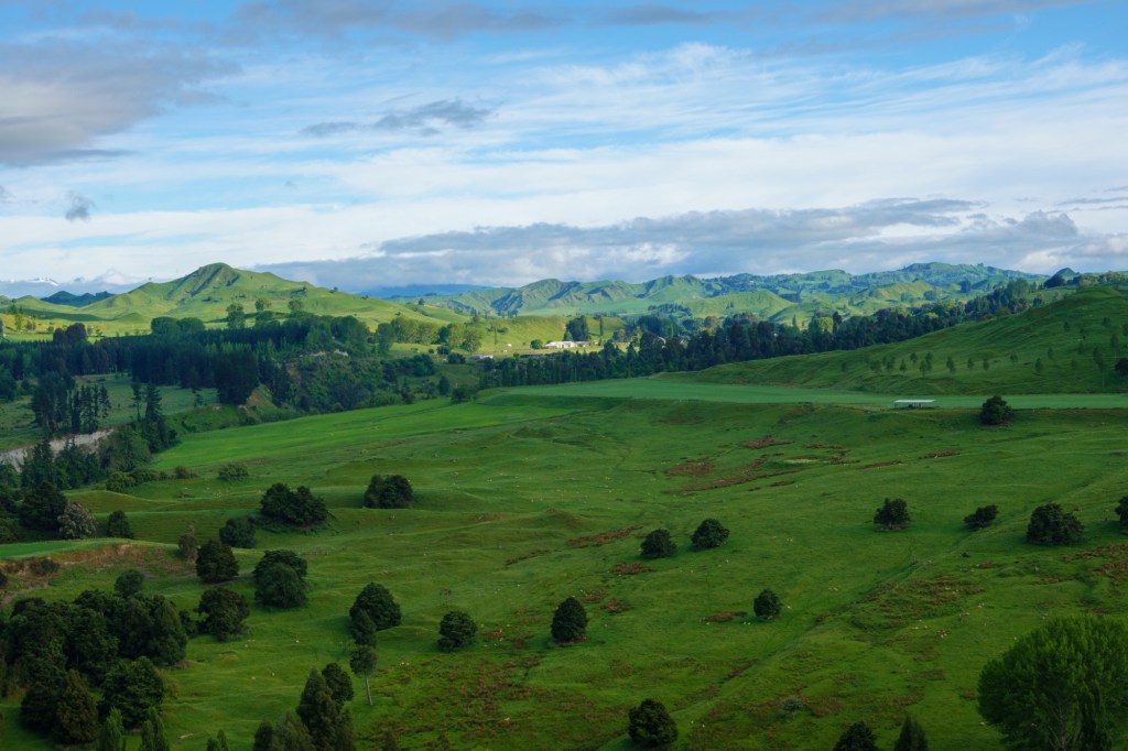
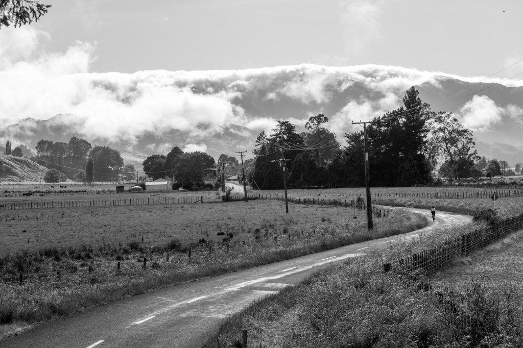
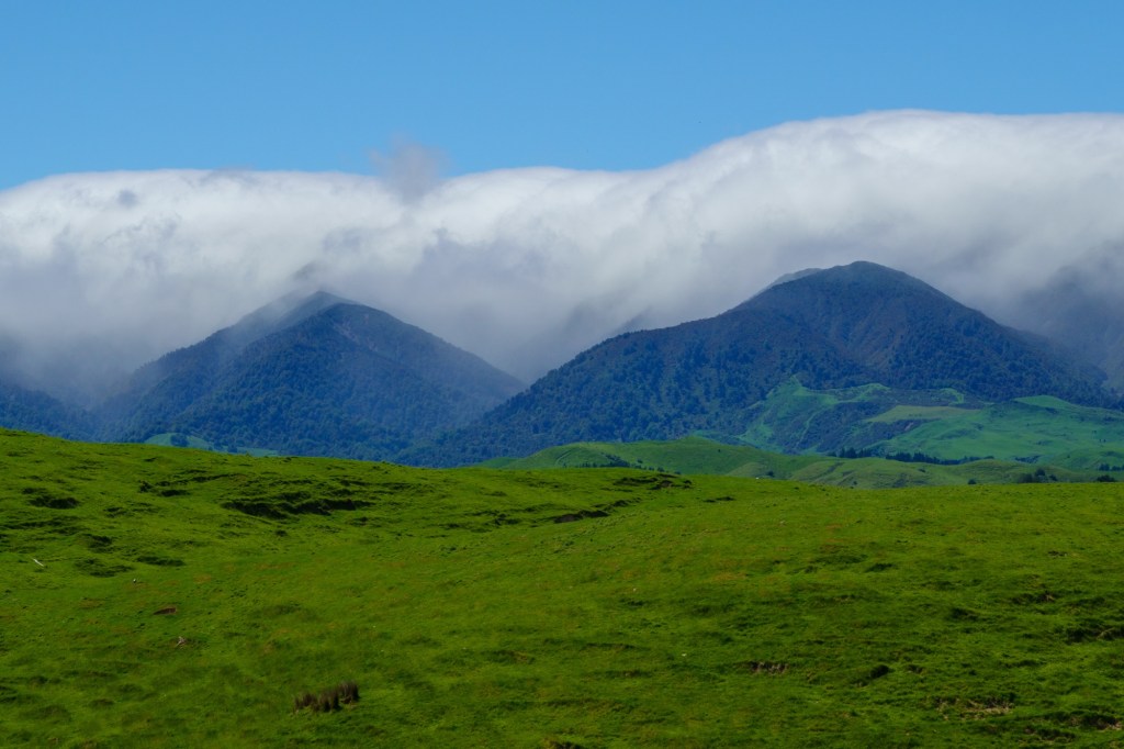
Today we followed the Manawatū River along part of its descent to the sea. Somedays it’s hard to capture in words the scenery, like today. We were spoilt with white clouds sharing the space with a blue sky, the clouds framing the distant hills.

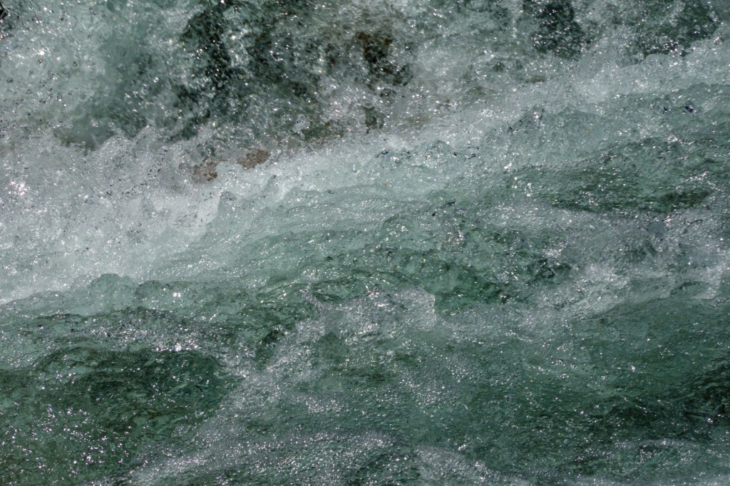
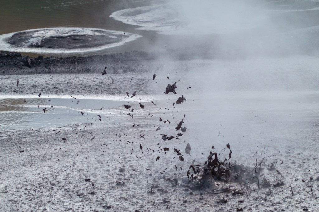
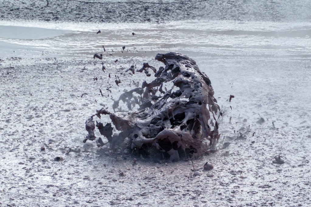
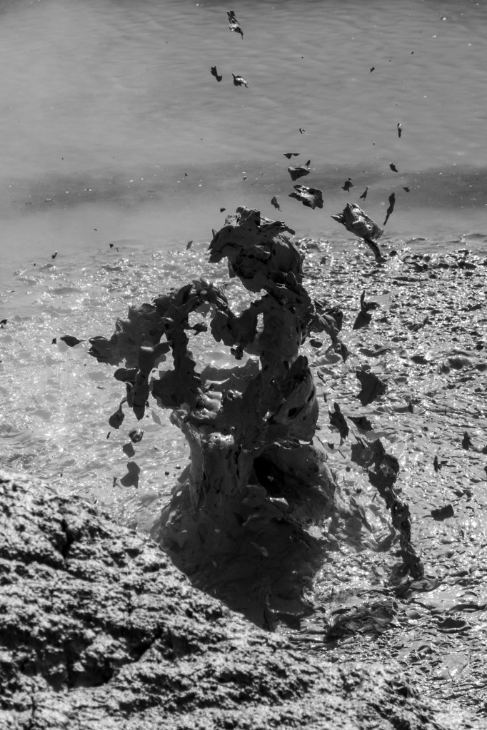
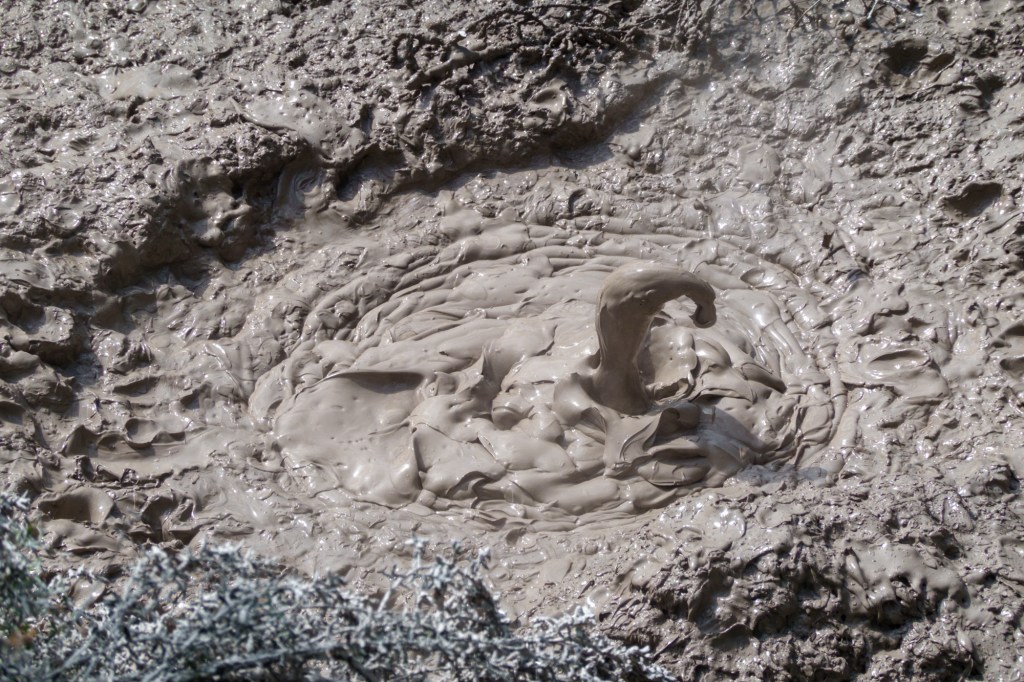
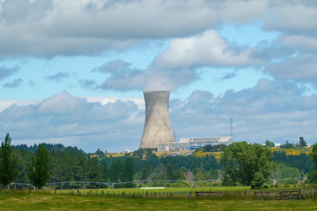
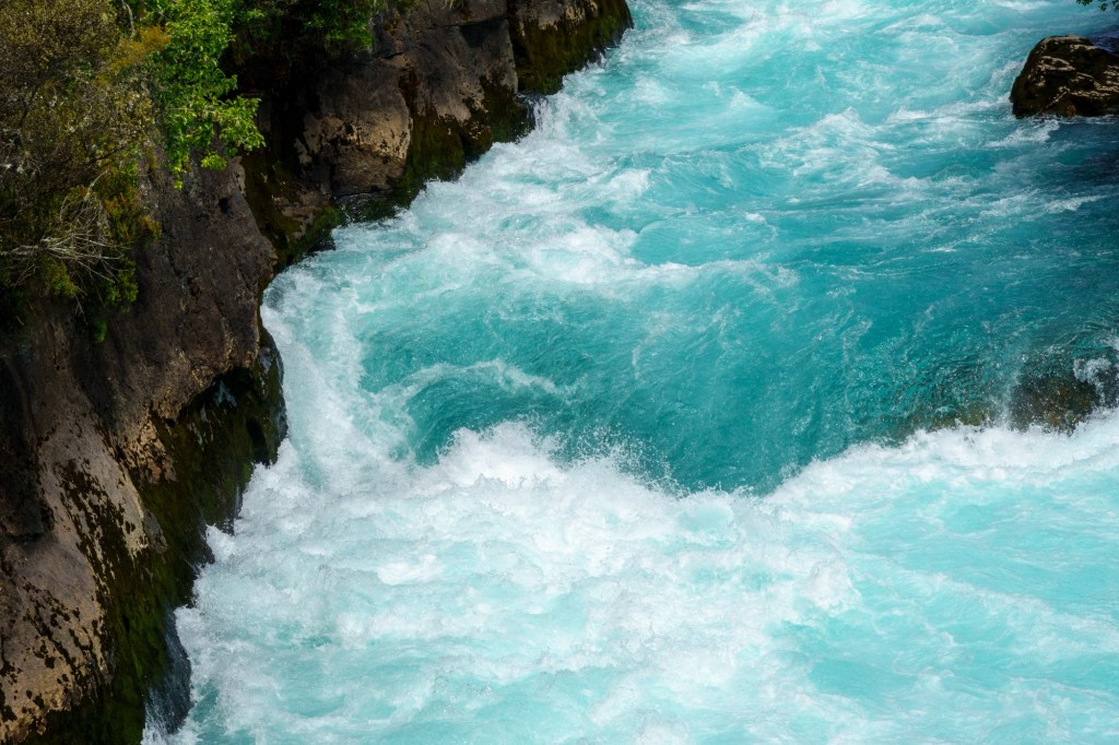
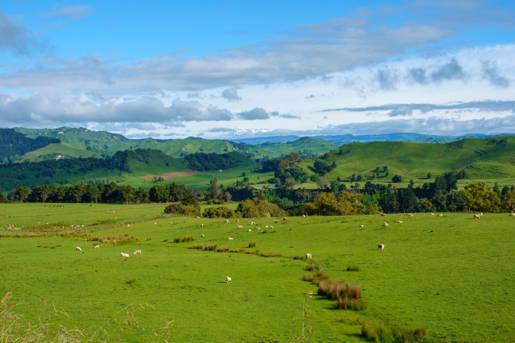
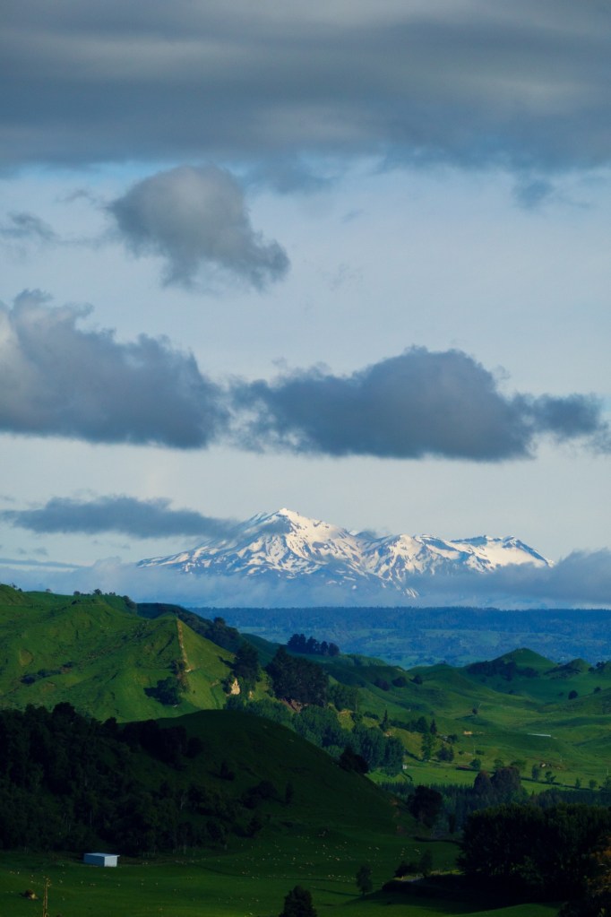
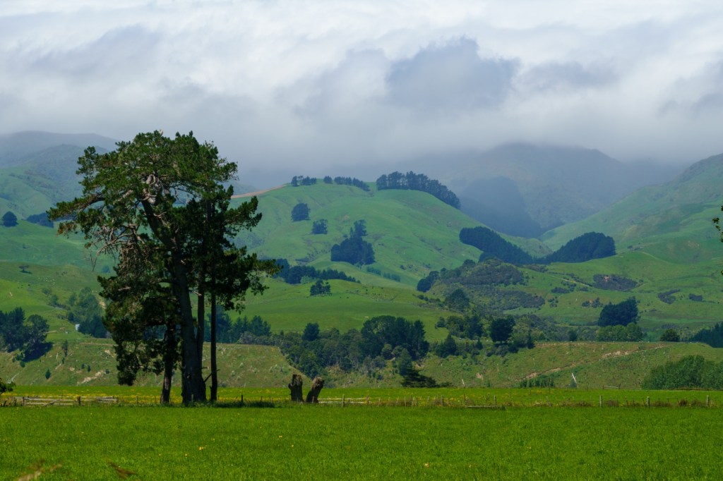
This is an area of unique geology I read – which does go to explain the hills and the gravel beds. A short river in many ways, it is also one of the fastest when it has snow melt – you can only wonder at that given the width of the river bed.

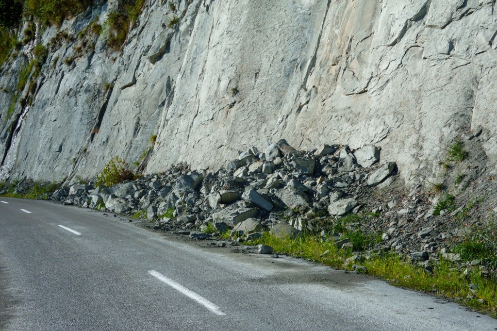
The Manawatū is unique among New Zealand rivers in that it crosses a mountain range. The river has formed a “water gap” across the mountains because it is older than the Ruahine and Tararua Ranges. Most rivers arise from an already-existing range of mountains or hills, but beginning about 3 million years ago the central North Island mountain ranges began to uplift across the Manawatū’s current course. Because it drained a large catchment, the river had sufficient flow to keep pace with and erode the rising mountains, eventually forming the Manawatū Gorge; other rivers were unable to and were diverted into the Manawatū instead.

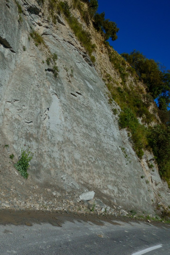
After exiting the Manawatū Gorge, the river carries rock and sediment down from the mountains. During glacial times, with the prevalence of ice, snow, and bare mountains, this erosion increases and forms a stony elevated terrace. During an interglacial, while the mountains are forested, gravel outwash is reduced and the river cuts down into the terrace, forming a gorge. This cycle has created four distinct terraces between the Manawatū Gorge and Palmerston North.

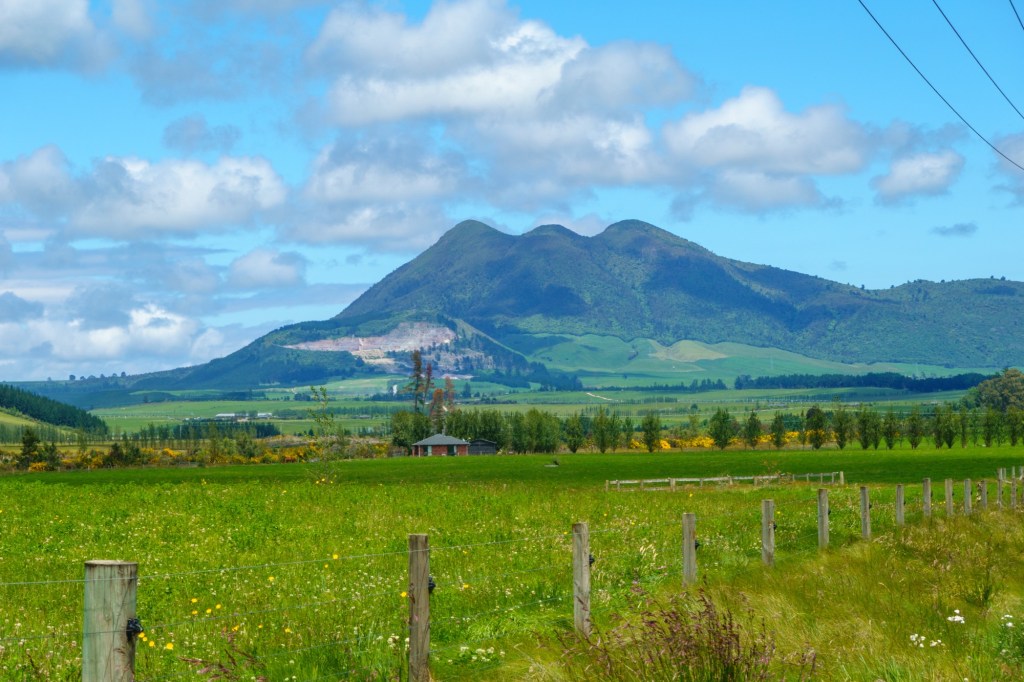
The Manawatū Plain was seabed 5 to 6 million years ago, and as it was raised above water by the action of the Australian and Pacific Plates it buckled, forming five long and low ridges (or anticlines) parallel to the mountains, which impede the flow of the Manawatū, Rangitikei, and Oroua Rivers, forcing them to flow southwest rather than directly into the Tasman Sea

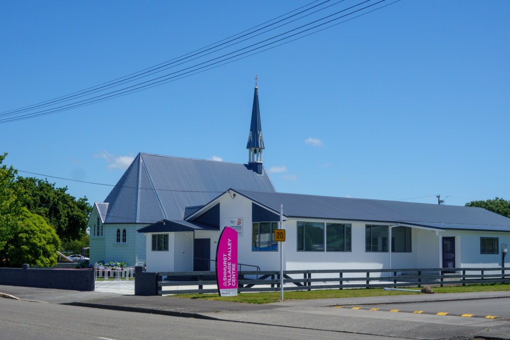
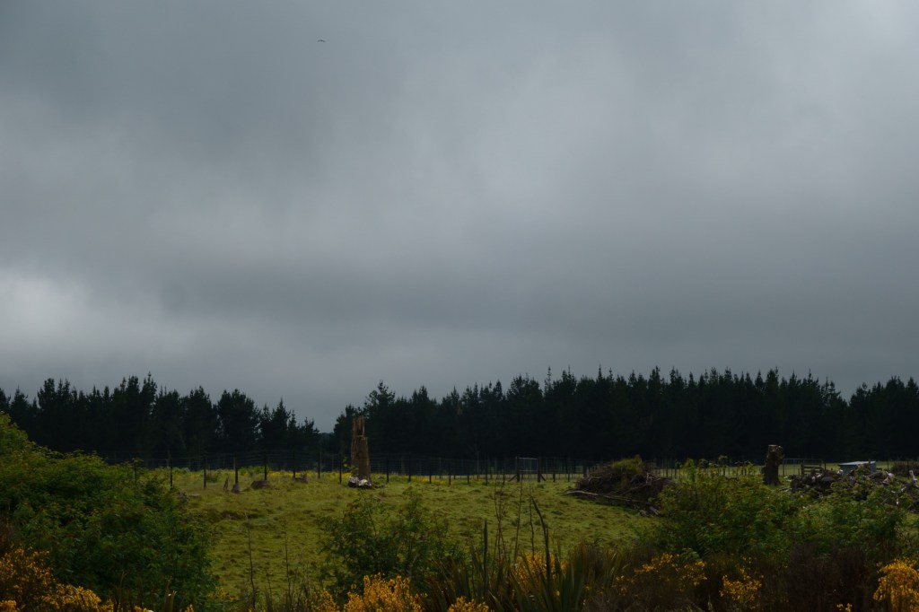
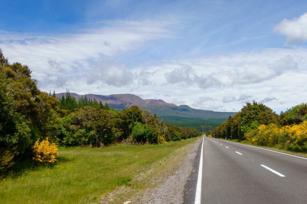
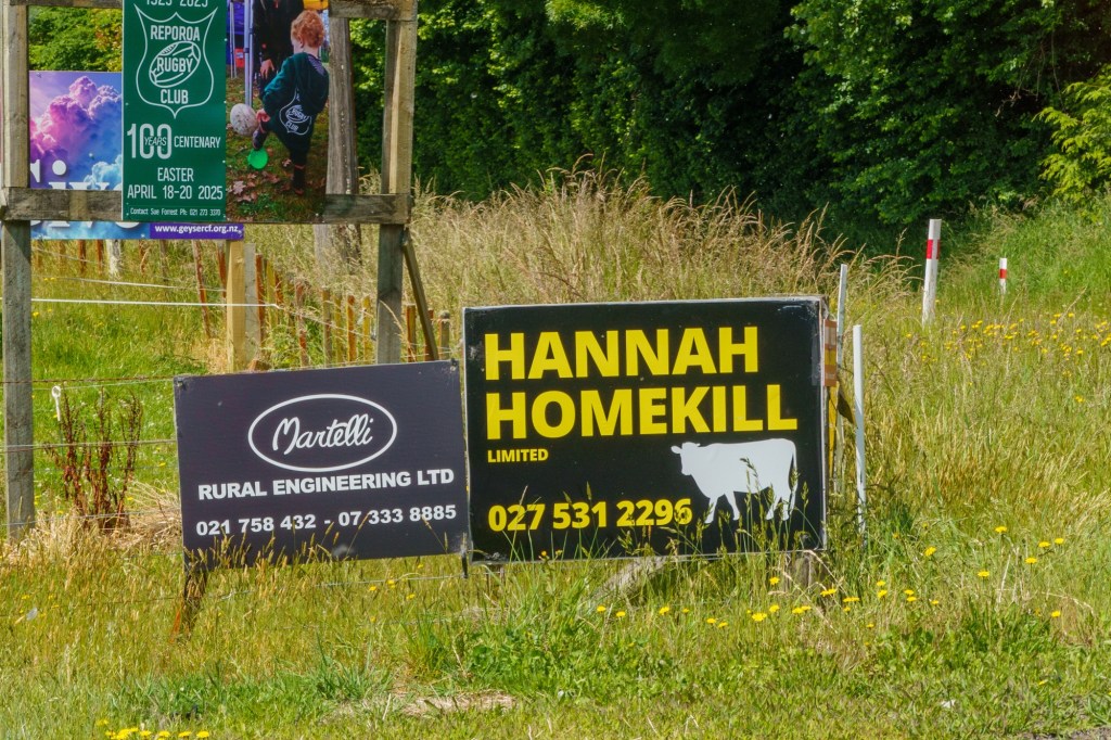
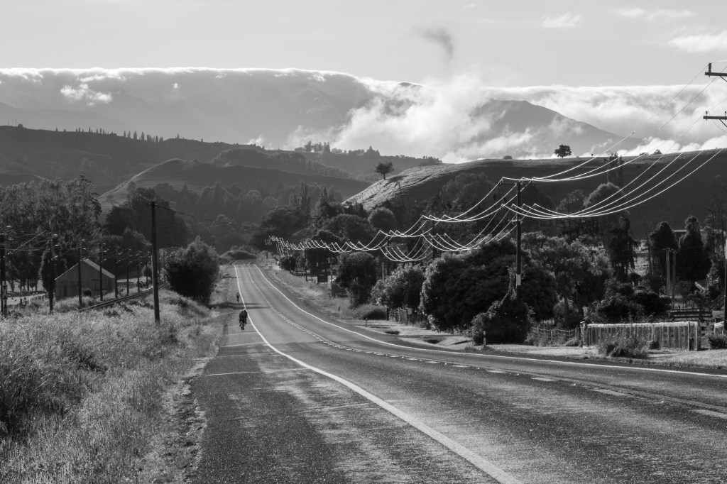
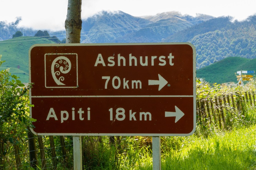
The route went up and down to the river many times. The cycling was a bit like the Cornish or West Wales coast. No coffee stops for the first 120km – remote farms alongside the road.

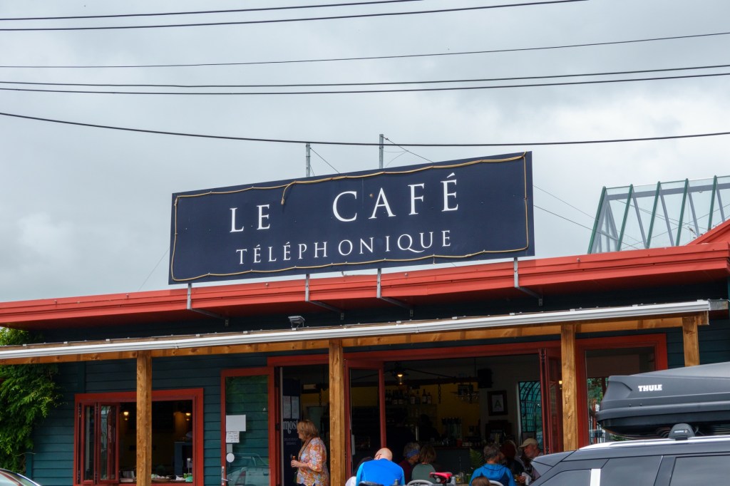
The old guy who ambled past my table outside the coffee shop put a lot into perspective. “I’m just a sad lost soul, they’ve all gone. My friend used to sit where you are everyday with me – she’s gone too”. He came across here when he was 5 from Northern Ireland. I told hime he still had his memories – he smiled and said “yes and they are up the wall, they’ve all gone: stay safe with your cycle and enjoy”. And with that he ambled on into the shop. Reminded me of the John Prine song “Hello in There”.

“So if you’re walking down the street some time and see some lonesome eyes; don’t pass em by and stare, as if you didn’t care; say hello in there, hello.”

I’m glad I stopped to listen and say hello.

Tomorrow into wine country as we go to Martinborough.

D43 National Park – Taihape

Abode of Tai the Hunchback. Doesn’t say what to nor what with.

A very easy day cycling – we were all taken in the support vehicles to the end point. Safety – the road diversions meant our planned route was a lot busier with heavy lorries, narrow road verges etc.

We’re in Taihape, which is the gumboot capital of the world – hence a big Wellie, and an annual Gumboot Day. The 1716 population must turn out in 3432 wellies. Surprised it’s not a youtube hit. It did help me provide background music for a Thanksgiving party – Billy Connolly hit the spot, praise be.

It’s moved from a railway and transport town to a farming town and stopping off place for tourists. From the signs they must have a lot of competition for the (Western) churches. Maye a wedding town – we ate in the Gretna Hotel which had some nice local edgy atmosphere.

Tomorrow back onto rural roads as we head to the metropolis (90000) of Palmerston North. I can think about the new word (to me) I learned on a notice about this place – divarification. Must get on with it and stop prevaricating……

TransOceania National Park Restday

…and so it was! Most folks went on the Tongariro 22km hike across the volcanic landscape. The early mist lifted for them and a fine time was had by all. A common theme is to re-name places, peaks, falls etc, after the Lord of the Rings or Hobbit characters and scenes from the films.

Which is all double Dutch to me having never seen the films nor read the books (Frank Herbert’s Dune and Asimov’s I Robot and Foundation novels were my choice). So my engagement, and desire to engage, with the conversation is limited.

“Fancy going with us to Gollum’s Pool? Short drive and a waterfall”. Gollum is a character – I think I prefer the tradition name Tawhai Falls. They are really pretty – the sound of kids jumping in (against the rules I suspect), laughing and having a great time, filled the air.

Annoyingly there were also people taking photographs – getting in the way of mine! Plenty of time though and rather than pose for Gollum selfies I preferred to just watch the mesmerising bubbling, gurgling, water churn along it’s blue cast way.

Back in town nothing was happening. Not even tumbleweed could be arsed to put a show on. Suited me fine as I wandered the deserted streets for the 10mins it took.

And then rest. Tomorrow we start a chunky stage of 4 days to Wellington which looks great fun.

D41 TransOceania Taupo – National Park

A lovely day in countryside, surrounded by impressive mountains (volcanoes, one active), rural landscapes and Lake Taupo.

Taupo’s 27000 population soon disappears. The settlements are few and far between from Taupo onwards. National Park is a whopping metropolis of 240 folks, swelled be transient tourists – walking, skiing or just passing through.

Fishing seems a popular sport – river and lake. Something I’ve never tackled.

Tomorrow is a rest day in National Park. Quite a few are heading out to walk the ‘iconic’ Tongariro Crossing. Me, I’m heading for rest……

D40 TransOceania Rotorua – Taupo

We’ve arrived at the geographical centre of the North Island, by the shores of Lake Taupo. Which is quite a mass of water – as might be expected as it’s filling a caldera. Stats – volume 59 km3, maximum depth 186m, 46km x33 km. By comparison, Loch Ness is 7.4 km3, maximum depth 230m, 36km x 2.7km. Might Nessie have a NZ relative?

Lake Taupo discharges into Waikato River, NZ’s longest river. This might explain the rapidity of the churning Huka Falls nearby – a hotspot for tourists and a diversion off today’s route.

The route followed alongside highways, sometimes on shadowing paths. Mainly not. The whole area is quite active – the Waiotaou geothermal pools bubble away in a mesmerising way, This geothermal resource has been used for more than 750 years by the Maoris – it translates as “Sacred Water”.

The Waikato geothermal power station appears – something to focus on other than the headwind! Cattle mosy along in a line to be milked somewhere: stopping to say “where are you going’?

Tomorrow to the simply named “National Park”: committee must have had a good lunch and couldn’t be arsed….