DTM
The breakfast power cut reminded us of previous stays in Bettyhill. It also the into sharp relief the new pressures of cashless. We’d paid the night before: without power the owner didn’t have access to who had eaten what, nor the means to charge them.
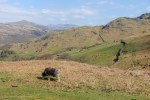
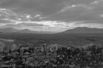
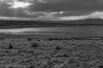
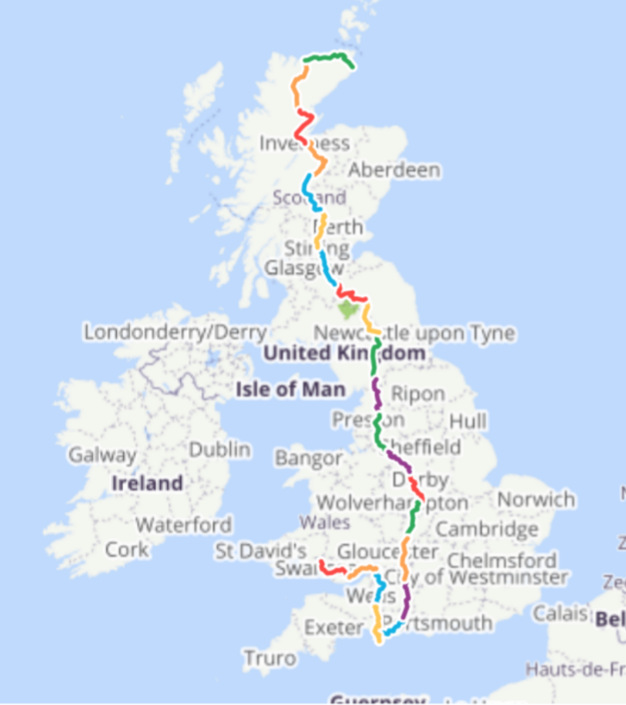
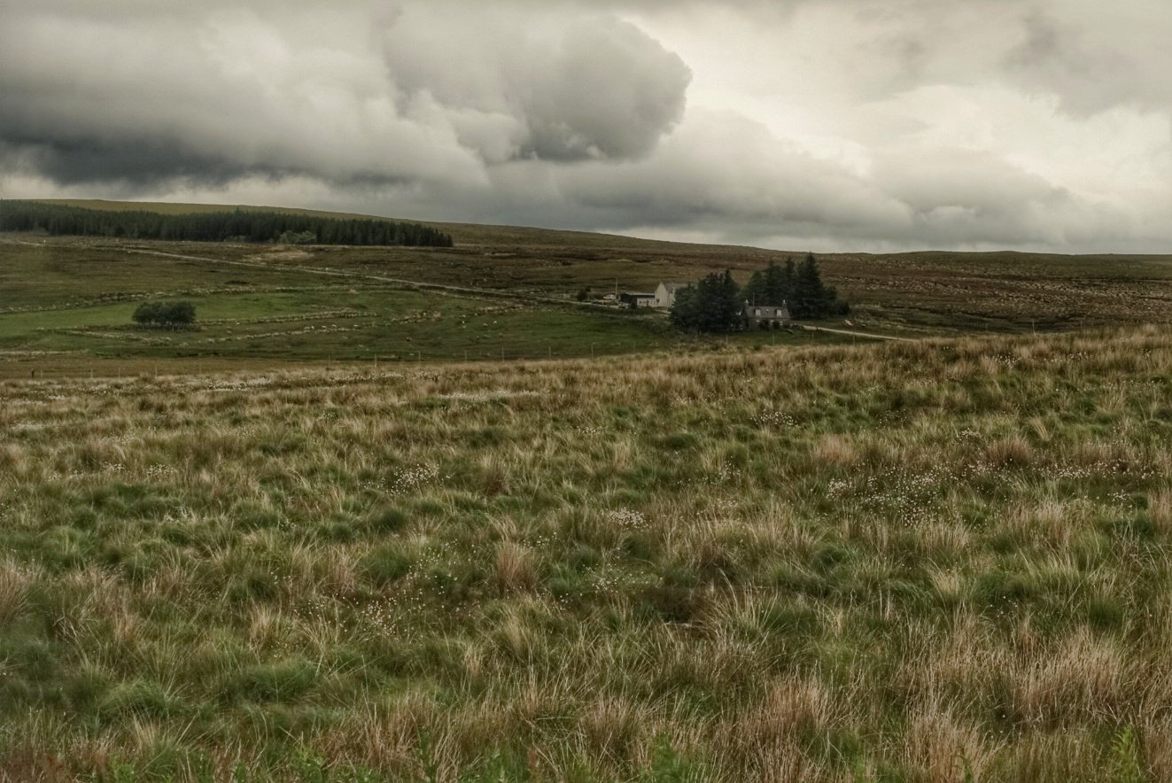
Today is straightforward navigating. Follow the river Naver south, through Strathnaver then swap to the River Shin. In between there ate vast sways of the Flow Country: carbon sinks, covering the Altnaharra estate.
Morning 
Loch Navet 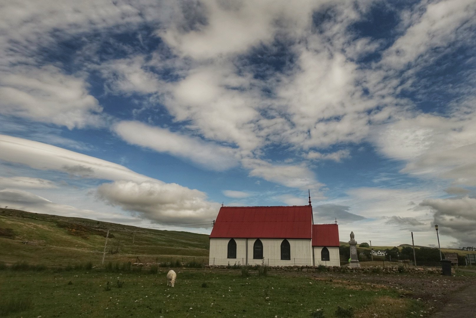
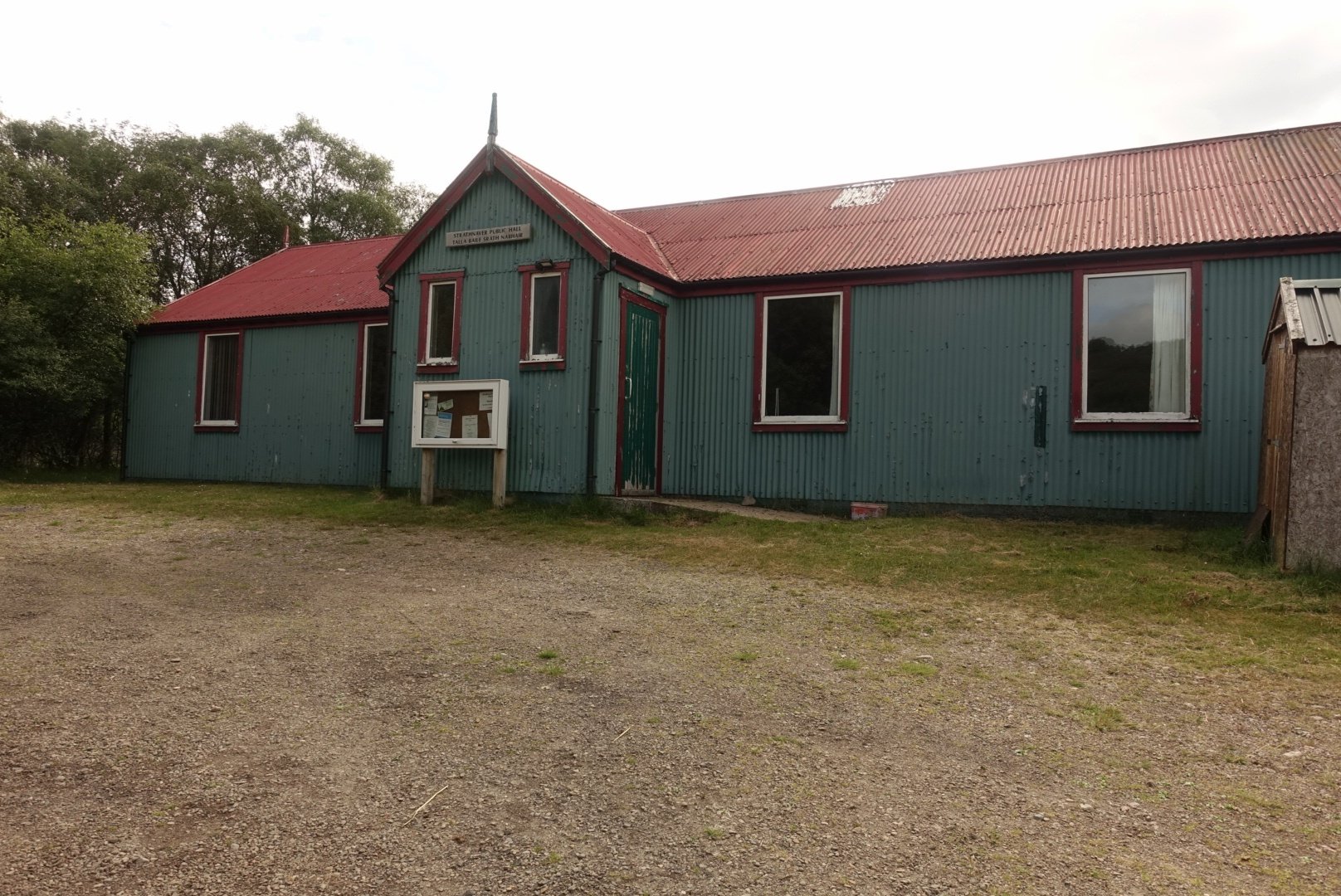
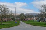
Community Hall 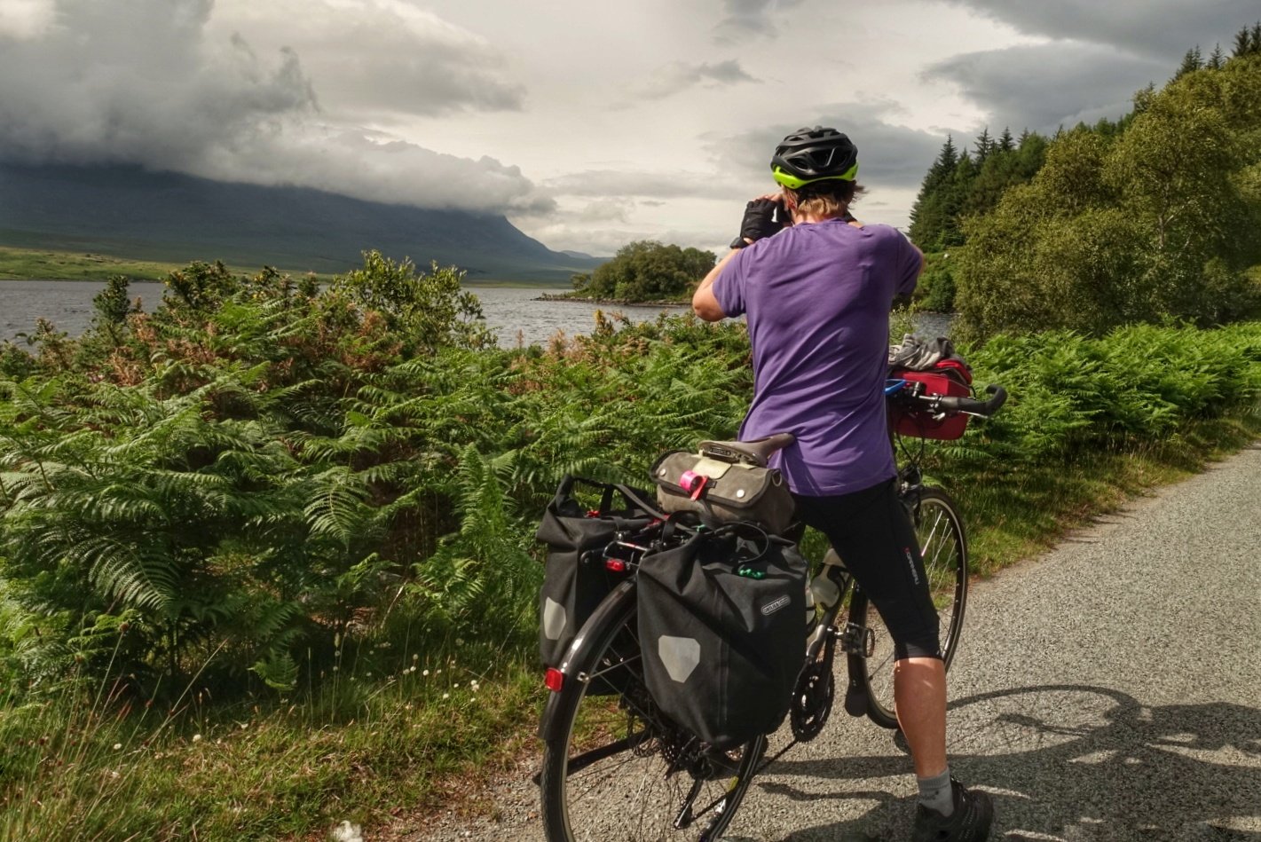
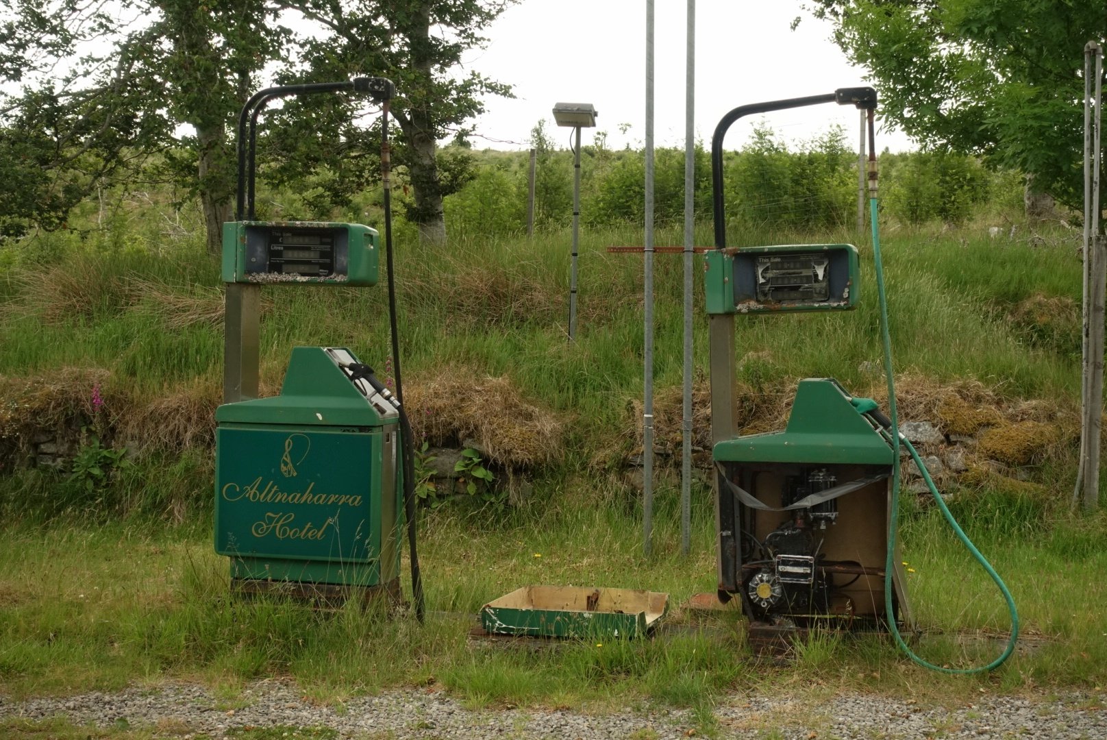
Out of gas
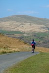
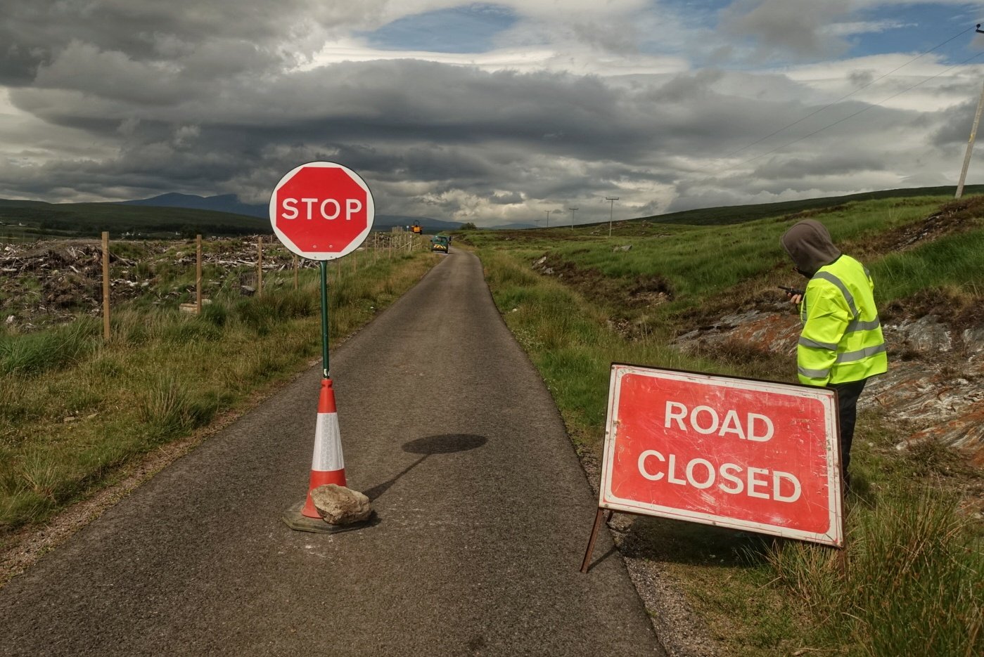
The A road through Bettyhill is a bumpy mess. The B road through Strathnaver is smooth: we get into the swing of passing places and most drivers are patient. Adrenaline levels run a little high: as we turned onto this road a sign said “Road Closed”. This turned out to be 20 miles further on. Luckily the workers let cyclists through: explains why the postman wasn’t happy with his 40mile detour. It also means the road is exceptionally quiet. I hope they’ve finished by the time I return cycling up this road in September!

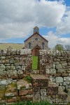
The Crask Inn is in the middle of nowhere. It’s owned by the Church of Scotland: the congregation must be outnumbered by sheep. We’d passed hill side workings on pristine land: wind turbines. This turns out to be a scheme which will benefit the local community to tune if £9million/yr

Pew 
Hope they can read 
Crask Inn

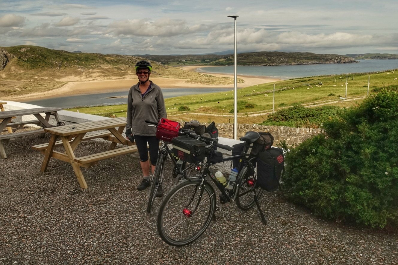
You can do it!
The Falls of Shin are an amazing demonstration of the power of nature. Salmon one way, water the other. I came here in 1963 as a 5year old: somewhere there’s a photo my Dad took of salmon leaping. Hope he’d be pleased with my effort today.
The wider A road, no longer single track, is a reintroduction to reality.