D51 TransOceania Hari Hari – Franz Josef

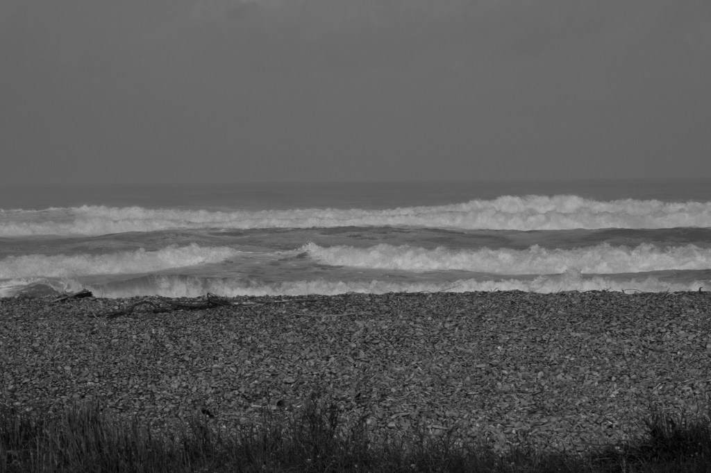
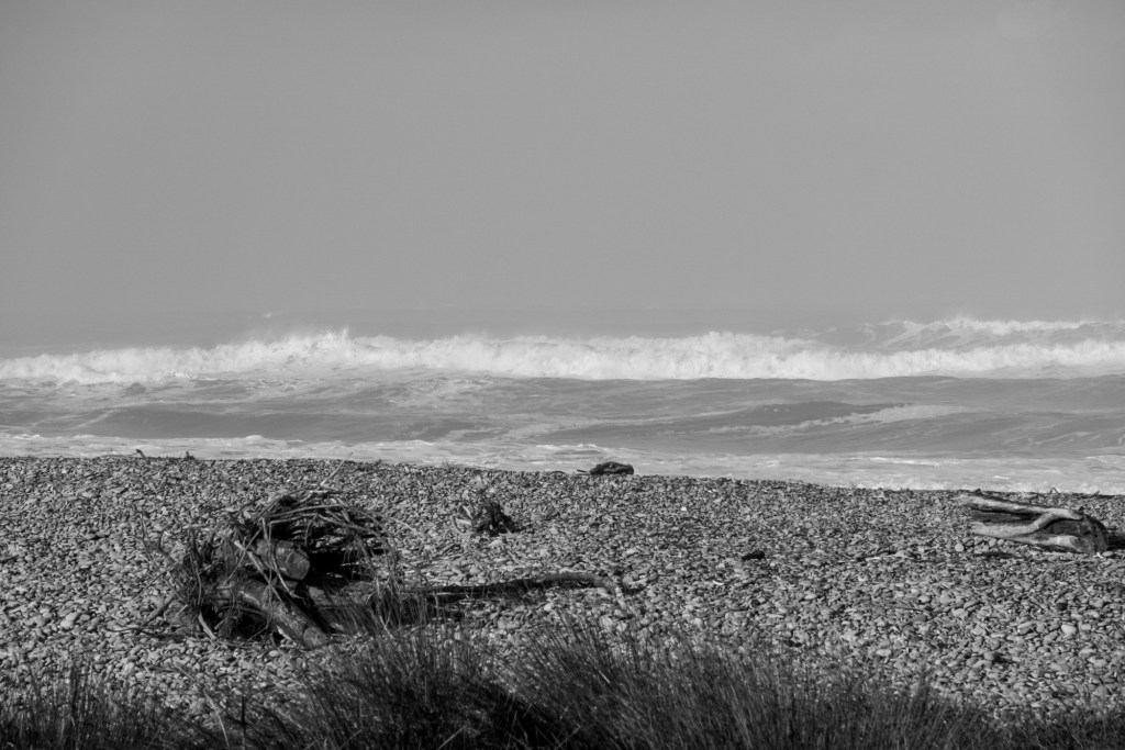
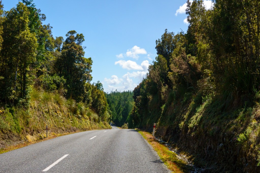
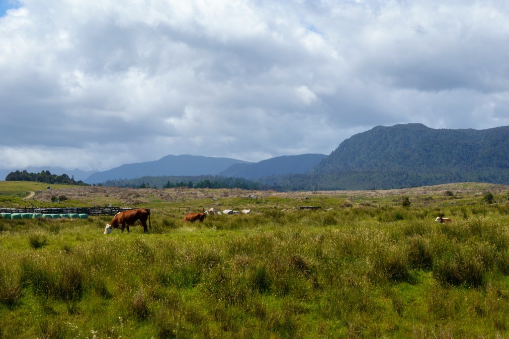
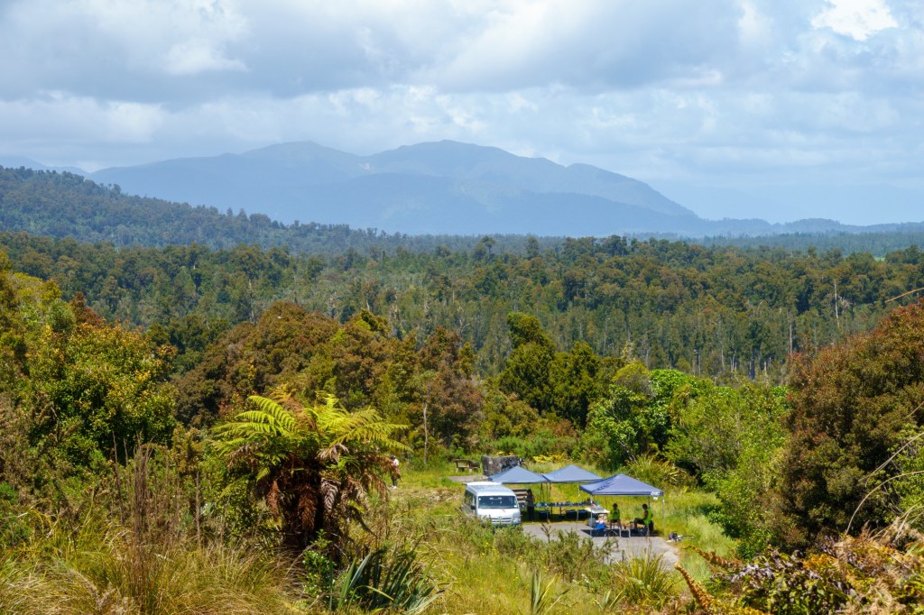
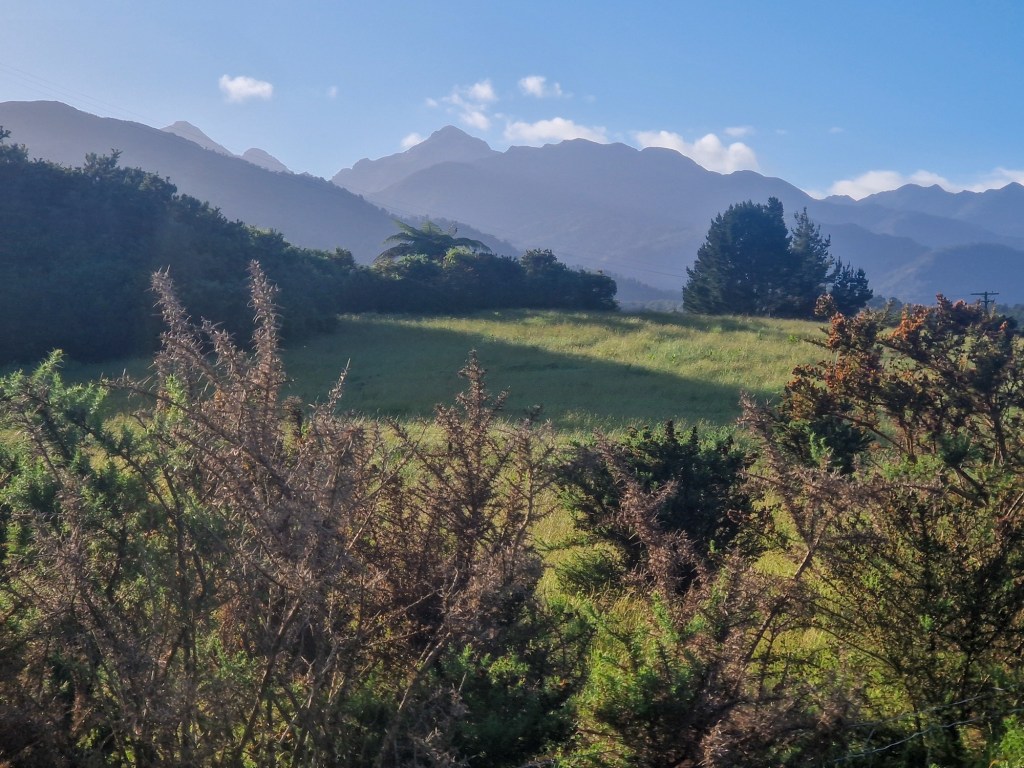
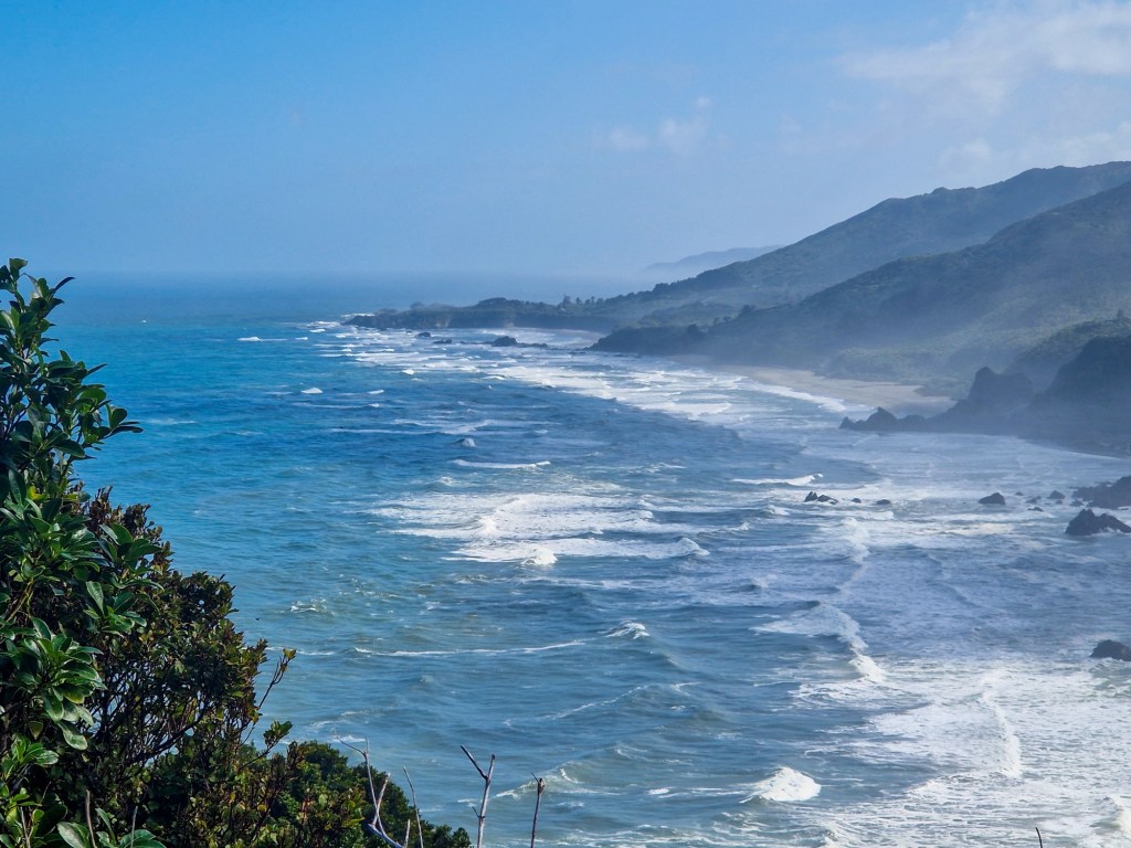
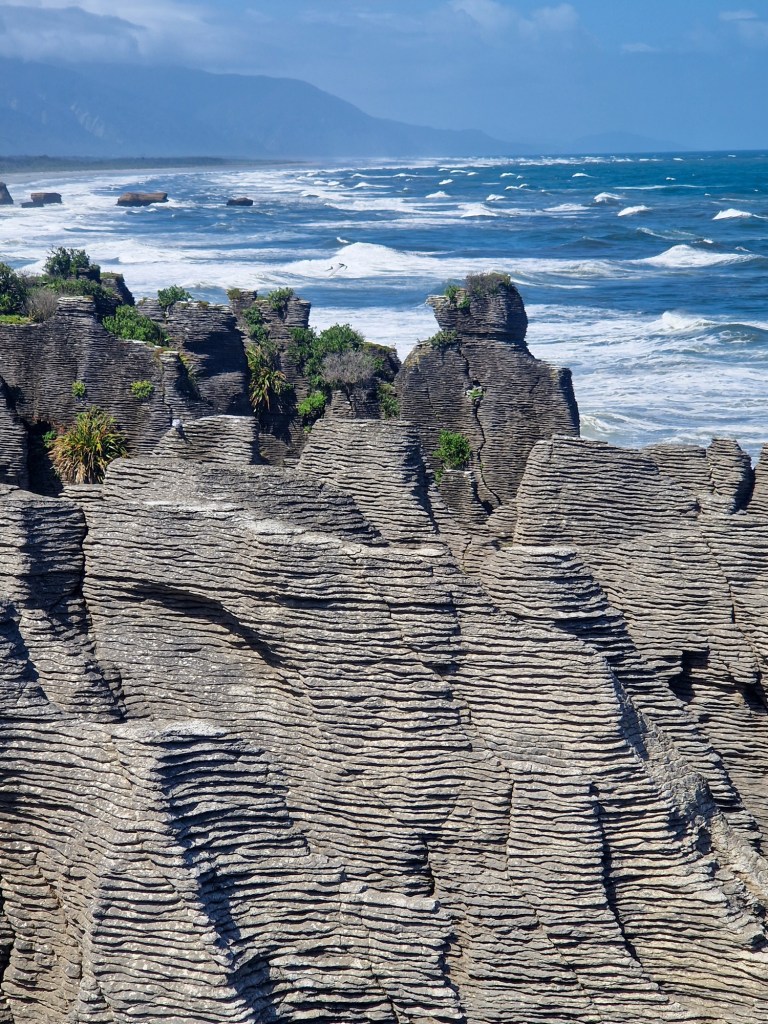
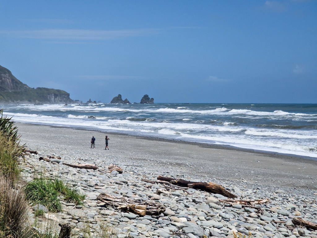
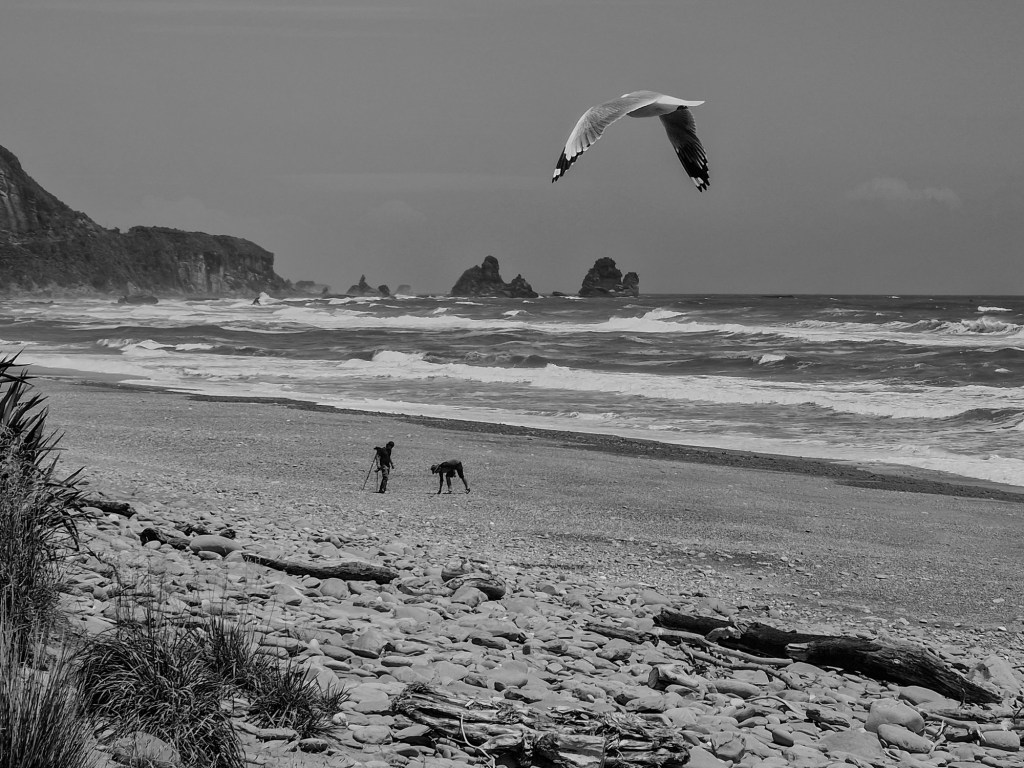
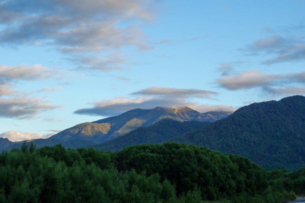
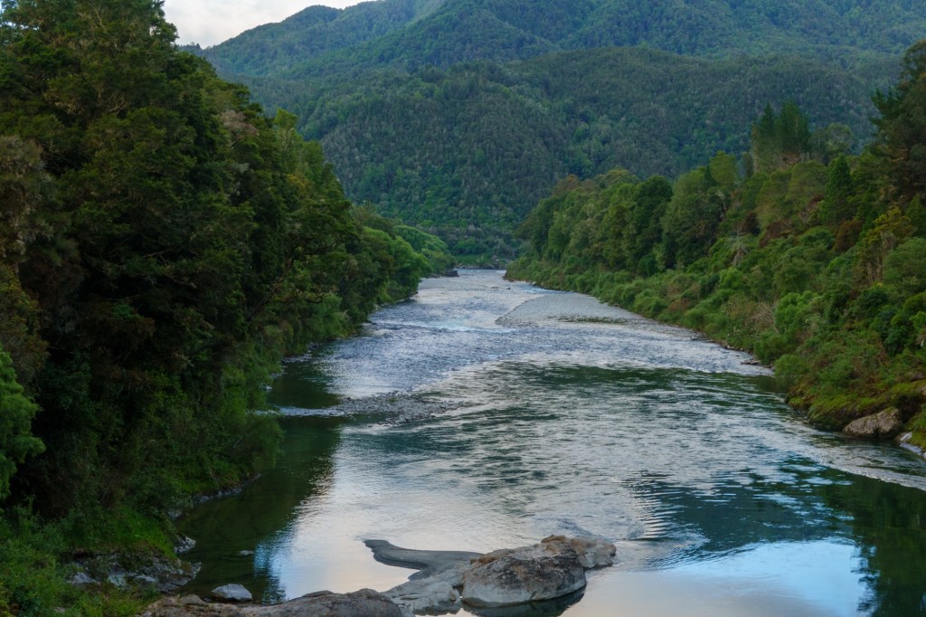
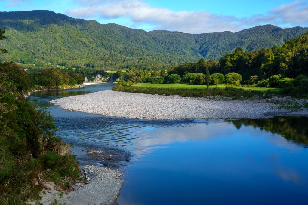
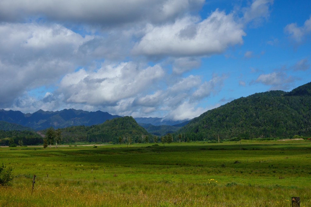
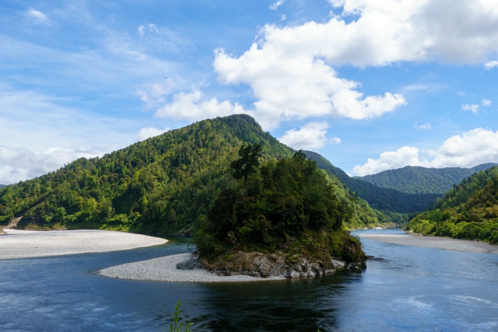
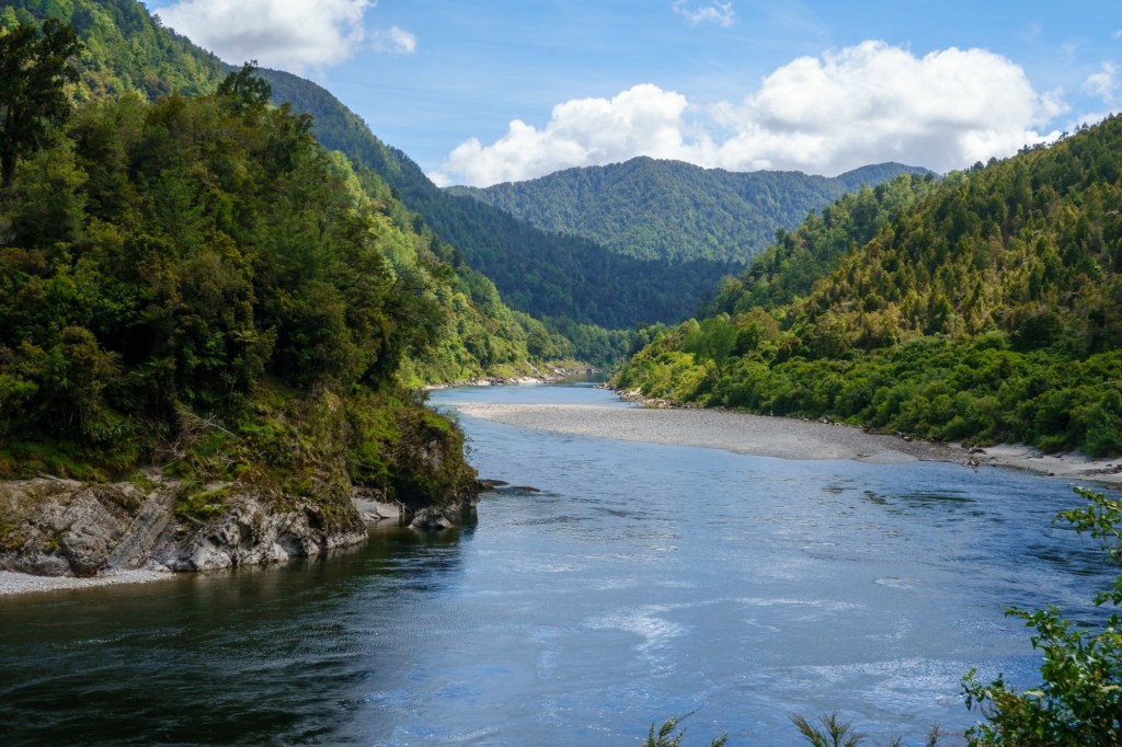
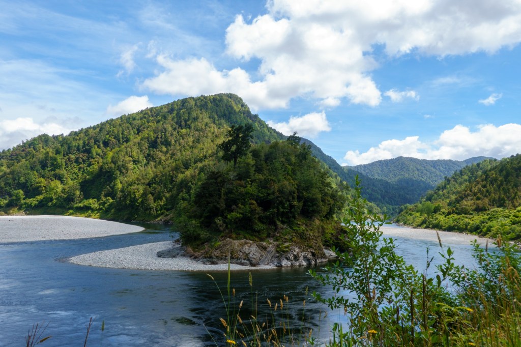
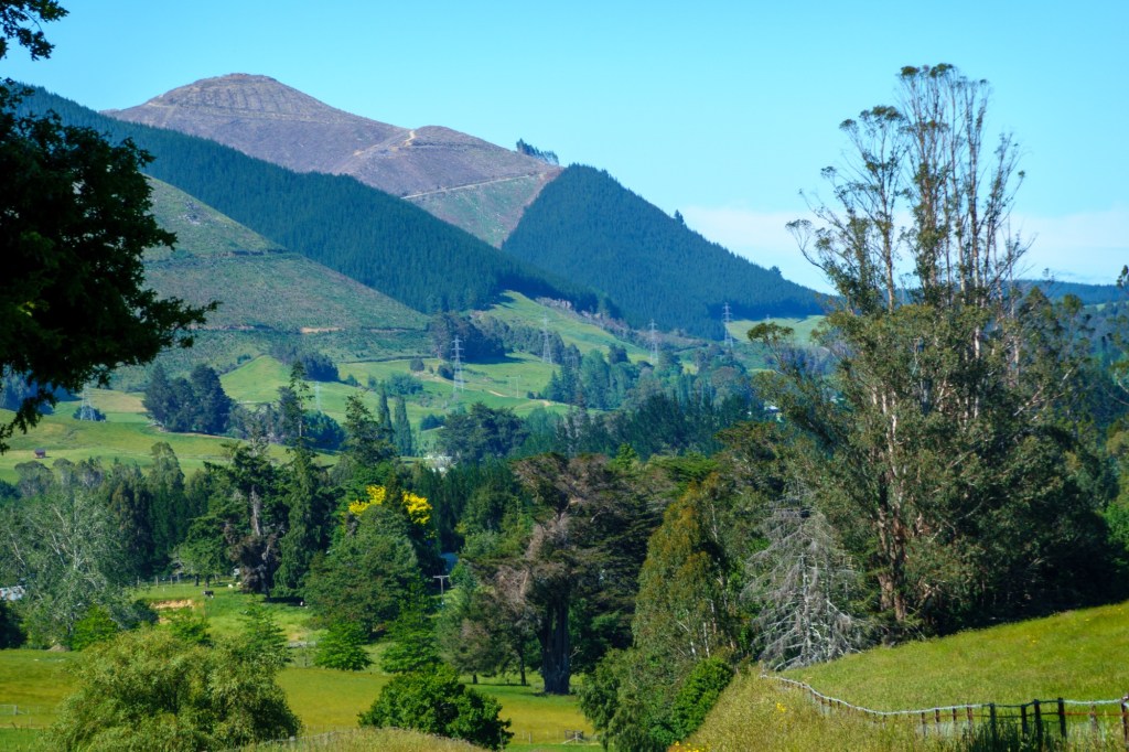
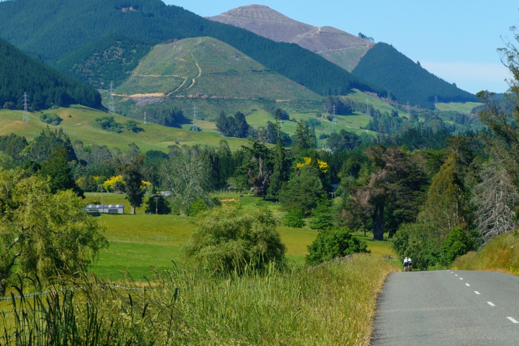
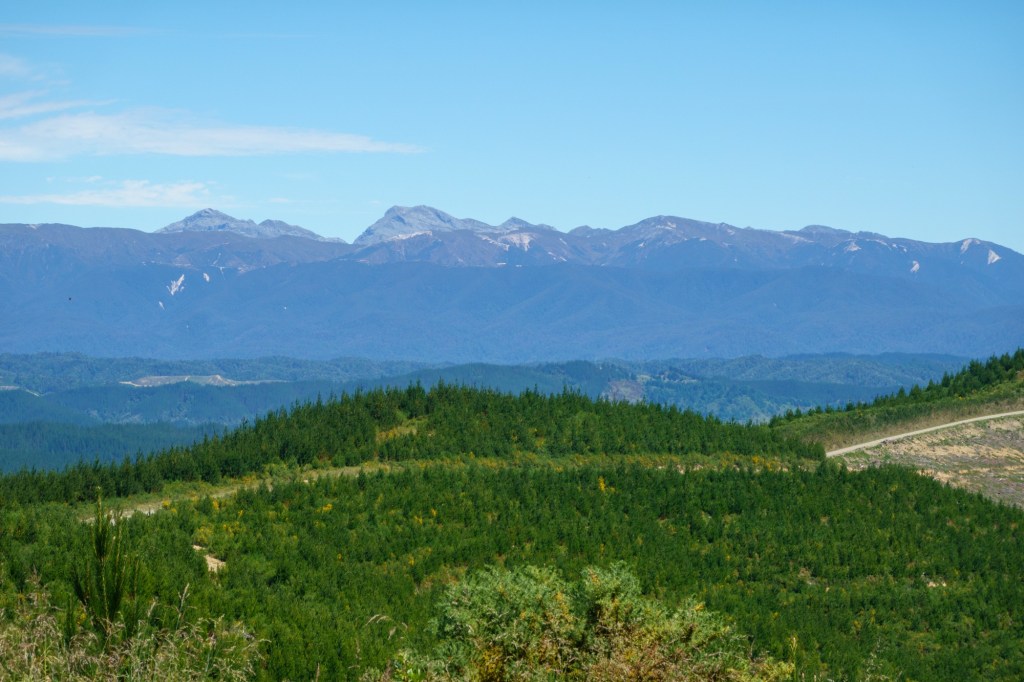
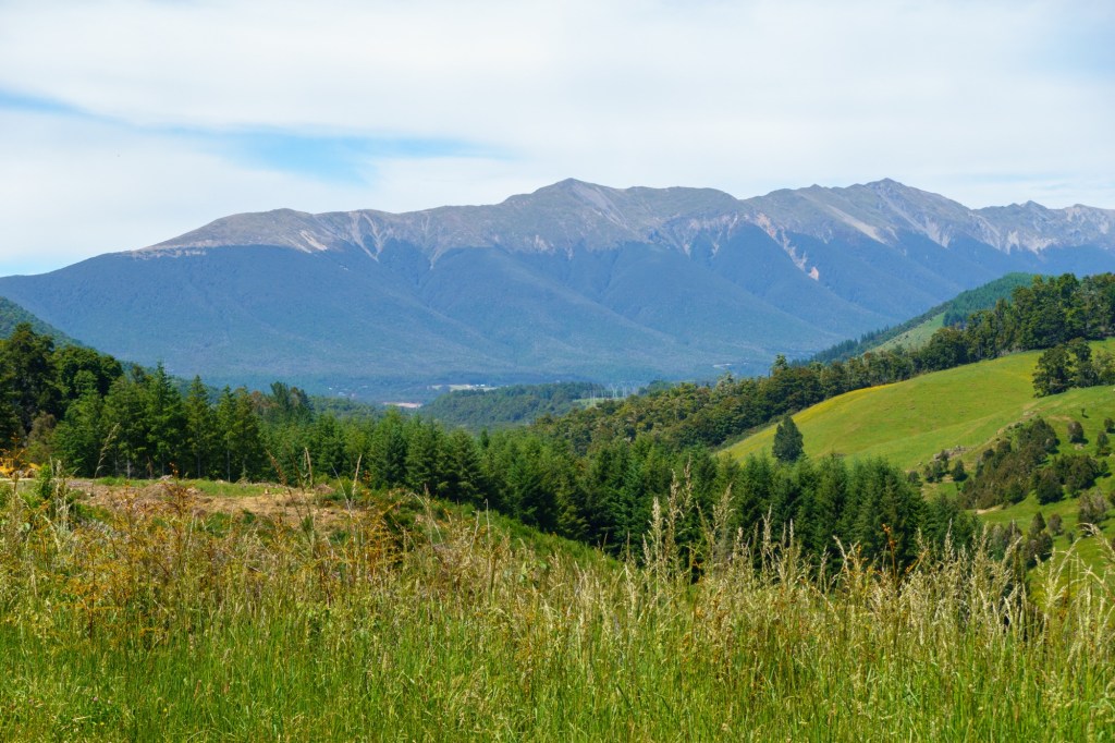
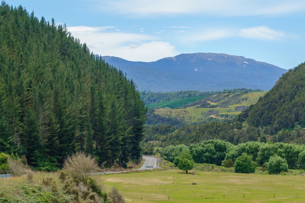
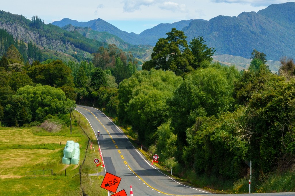
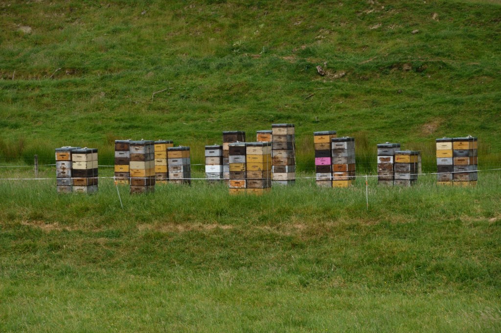
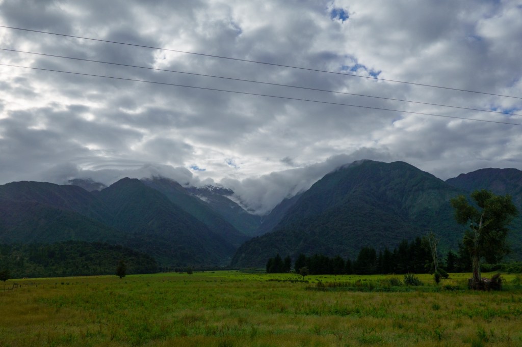
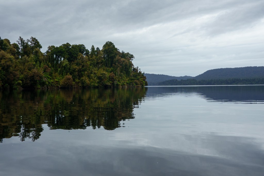
Today was a short cycle into the rest day – it was long on attention grabbing landscapes. Glacial creeks, mist shrouded hills/mountains, pastural land on the flood plains.

Franz Josef Glacier was named after the then Austrian-Hungarian Emperor by Haast who “discovered” it. Well an Emperor beats a Governor General for sucking up.

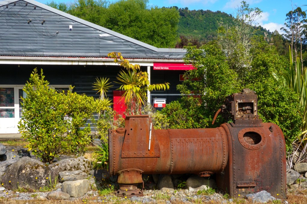
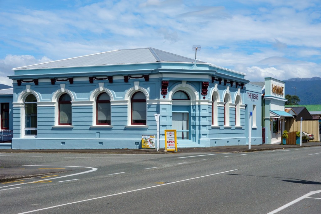
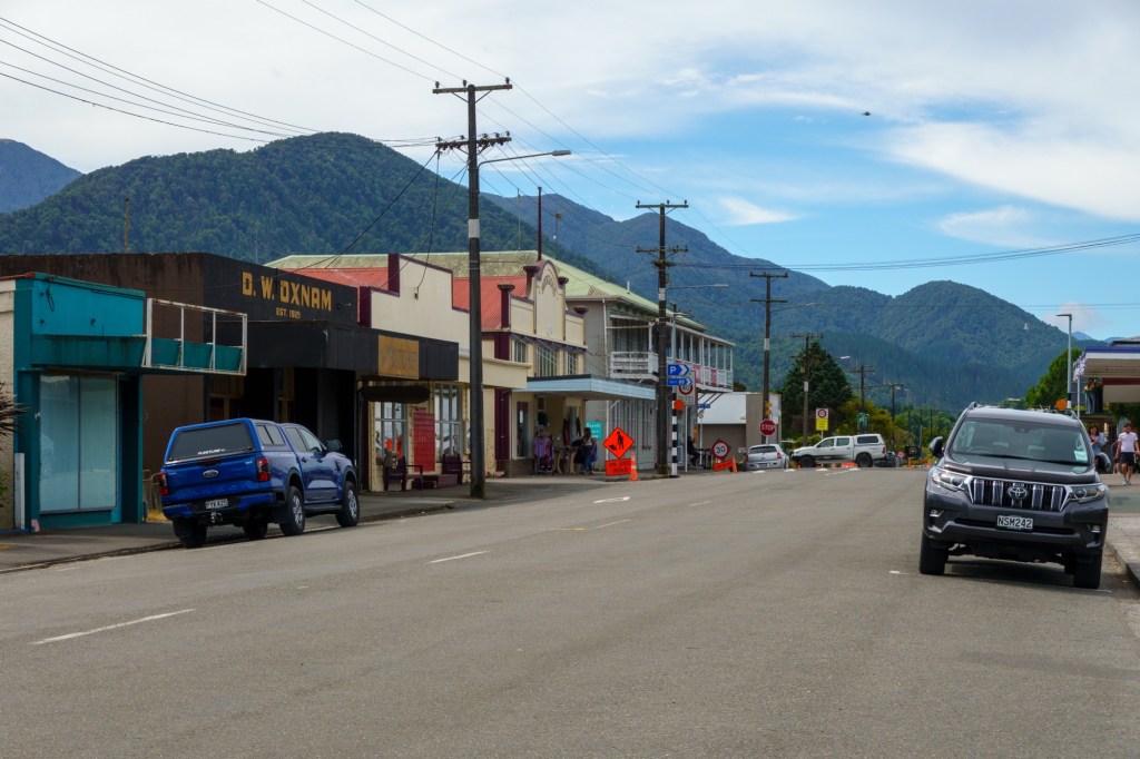
The town followed – as a tourist place which took off when the gold was depleting. Building to the steady heights of 480 people today – no doubt with 4800 tourists in full season.

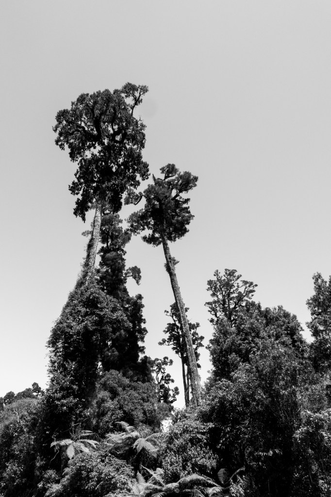
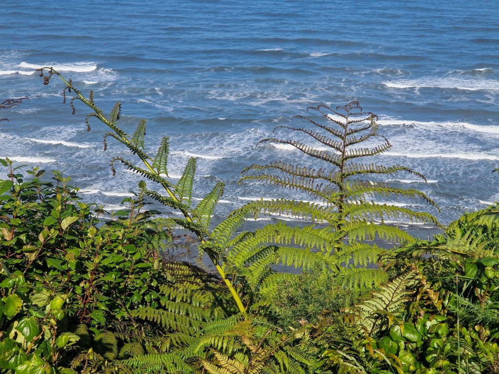
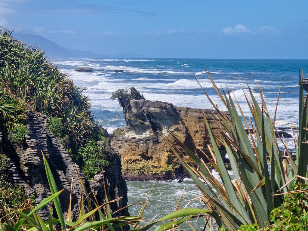
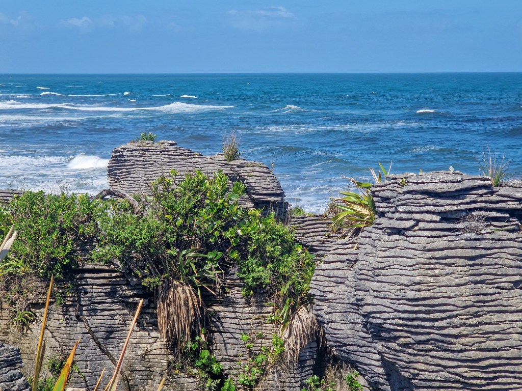
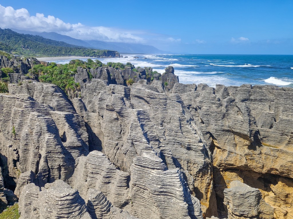
In addition to the many glacial things (including helicopter flights buzzing like insects) there are short walks. One was through part of the rain forest – a mesmerising place.

Tomorrow will be another day and hopefully another wrong forecast.

Over to Bob for the geology:

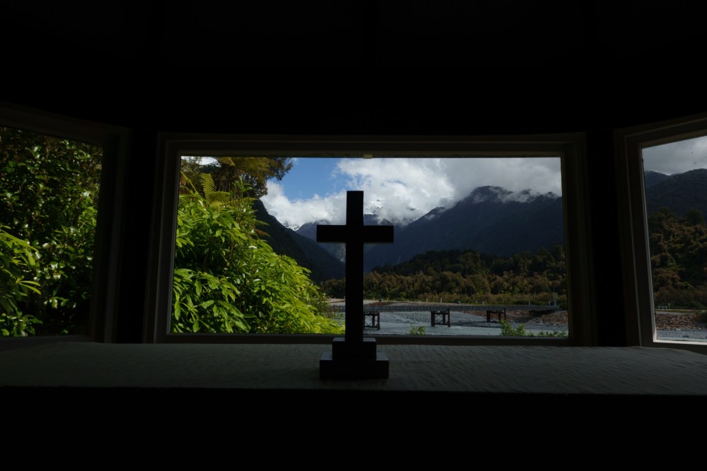
This glacier and nearby Fox Glacier are fast-moving glaciers. As I recall, they move about 1 meter per day, down the steep mountain slope. Typical glaciers move a few meters per year. Someone at the NZ Geological Survey created a decades-long time-lapse movie of one of them, with movie frames taken daily from a church with a view. It shows advances and retreats of the glacier front on the scale of decades, compared to centuries for more typical glaciers.

The Alpine Fault is at the base of the mountains. My geological map shows that it is 2 parallel traces here, about 1 km apart. Perhaps someone has erected a sign on one of these where it passes through town … the western trace could be considered the plate boundary: Australian (or Australasian) Plate to the northwest (the alluvial plain) and the Pacific Plate to the southeast (the mountains, which are schist: metamorphic rock, brought up from several km depth; dated as roughly Jurassic).

The motion on the Alpine Fault is right-lateral (the Australian Plate is moving NE compared to the Pacific Plate) with a significant vertical component. The plate motion was purely horizontal roughly 10-20 million years ago, but due to the proximity of the pole of rotation between the 2 plates, it has a significant vertical component now. The Marlborough Faults (Wairau, Awatere, Clarence, and Hope) show the approximate horizontal motion now, about 70 degrees east of north. The Alpine Fault trends about 50-60 degrees east of north.

The Alpine Fault may pass through Condon Street, just south of Allied Petroleum, a block or two south of your hotel.

D50 TransOceania Westport – Hari Hari

A former logging settlement, population of 270. The locals seem to know one another, and look alike (I jest, but don’t criticise anyone without knowing who they may know…).

The picture of today is open vistas with no settlements after the lovely coastal town of Hokitika. Just small farms surrounded by rain forests, walls of ferns and an undulating road. Apart from the delightful quirky ex mining (gold) town of Ross.

Bird song makes a happy appearance, or are they exchanging advice on the future weather. Which is getting a bit cooler and wetter.

An interesting monument, doubling as a trig point, to the surveyors who ‘opened’ up the South West of the South Island. European I’ll assume: how did the poor Maori’s get around? It must have been a different and harsh environment with logging, mining etc. not so long ago.

Today it’s mainly tourist vehicles passing through. Tomorrow to Franz Joseph and a rest day. Activity planning will depend on the weather…..

D49 TransOceania Westport – Greymouth

Just in case there’s a question. Sir Grey, the Governor General, after whom the place was named, is not related to Earl Grey. So no teabags here.

It’s another gold/ coal town,  as were the other [few] places we pass through today.  Connected by the railway which ends in a port in the West! As does much of the light traffic, without stopping I suspect.

Where they do stop is at the coast viewing points. In particular the spectacular Pancake Rocks. According to our virtual geologist, Bob:

The “pancake rocks” are Oligocene limestones that have been uplifted and eroded.  These West Coast rocks are much younger than the rocks to the east, due to the large offset across the Alpine Fault.

We pass over many rivers, brown after yesterday’s rain.  No photos as there is no hardshoulder on the bridges, sometimes only one car wide.  Good memories.

PS Just as well I’ve been backing up photos: memory card failed.  First time that’s happened and a reminder it does happen. I hope I’ve backed them up!

Tomorrow Ito Harihari. Twinned with Sallisalli.

D48 Murchison – Westport

Like many of the other places we have cycled through, on this trip and others including the UK, minerals play an important role in how places develop, decline and then change use. Westport is an example. From an 1860s gold rush to a later coal abundance (30 million tonnes were extracted from nearby Dennistown and shipped from here). Uranium was just up the road. Today it is a tourist entry point to the South Island north west coast.

The other connection is rivers. We followed the Buller river all today…..you’ll of course remember this from yesterday’s missive. The landscape is enormous – from nearby distant mountains, to narrow gorges, to pasteural flood plains. We were fortunate with the weather so (once the sun got up proper, we left at 6:30am) a blue sky and a light wind guided us along the highway.

By the time we get to Westport the river is very broad: a 300m span bridge is needed. It must be terrifying when it floods, as it does. It’s Saturday night and the prospect of sharing a restaurant with a miner’s Xmas party is also terrifying – curry it is.

It is scheduled to rain for all tomorrow – a proper rest day beckons!

D47 TransOceania Nelson – Murchison

Doesn’t make comforting reading “Murchison was the epicentre of the third deadliest earthquake in New Zealand’s recorded history – 1929”. It’s a small rural town – the Hampden Hotel where we ate was jumping with Friday night revelry: they are probaby all related.

Nelson turned into quite a ribbon development along the waterfront. Recalled the father of nuclear physics, Ernest Rutherford, was born here. I say recalled – the large sign was a giveaway.

Mainly a quiet road for the first half as we ascended through the wind. A main road, OK though, as we pedalled through the descent through the wind. At least my washing is drying quickly!

Tomorrow we head to the coast, which the person in the room next to me informs me is “hoaching” with nasty little sand flies. Time to DEET up (other products are available, I just can’t remember what they are!).

Riding to Westport and a restday. Bob has sent fascinating info on the geology. I think I get the jist…

You will follow the Alpine Fault southwestward for the remainder of the TdA trip. It isabout 40 km SE of Greymouth, trending southwestward, and goes o_shore NW of Queenstown. In topographical maps (on Google, for instance), it is a remarkable
SW/NE linear feature, usually at the base of the Southern Alps. At its northeastern end, following a significant bend south of Murchison, it continues east-northeastward as the Wairau Fault, passing between Picton and Blenheim.

I’m sorry to miss Stage 48, Murchison to Westport, on Saturday. The morning ride goesthrough the spectacular Upper Buller Gorge, cut through Cretaceous granite and Ordovician metasediments. Then you’ll have lunch in or near Inangahua, before riding through Lower Buller Gorge, cut into more Cretaceous granite. You should have
spectacular scenery (if it’s not raining …).

At the end, you’ll ride into the coastal city of Westport, the oldest European city on the west coast of the South Island. The Maori
have lived in the area since the 14th century.
(The granite was the bases of andesite volcanoes above a subduction zone when NZ was still part of Gondwana. NZ broke away from Gondwana about 80 million years ago.)
Inangahua sprang into worldwide prominence (at least among geophysicisits) in 1968, when the small town was mostly destroyed by a magnitude-7 earthquake on the Inangahua Fault, one of many faults in the Alpine Fault system. The Buller Gorges were
blocked in more than 50 places, by landslides and by the highway sliding into the river. With roads and communication destroyed, about 50 people hiked to Reefton, about 7 hours to the south, to get help. A huge landslide in the Upper Buller Gorge dammed the
Buller River, forming a lake more than 30 meters deep. Fearing a catastrophic erosion of the dam, authorities evacuated about 10,000 people downstream. Fortunately, when the river topped the landslide it eroded the dam slowly, averting major damage downstream.
The 1968 Inangahua earthquake had some of the highest vertical accelerations ever recorded. This may have happened because of its shallow depth, large magnitude, and probable high stress-drop. Although the highest measured acceleration was about 0.6
g (0.6 times the acceleration due to Earth’s gravity), there was evidence of vertical acceleration greater than 1 g: In a few places, boulders were resting on the ground uphill from holes where they
had apparently lain. It appeared that the ground had accelerated downward at greater than 1 g and moved laterally before the boulders landed.
A small wooden church had come off its foundation but was still sitting upright, a meter or two from its original position. Inside the church, very little was disturbed. Hymnals were still stacked on a table. It appeared that the Earth had accelerated downward at greater than 1 g and moved laterally before the church
landed.
The area also was shaken in the 1929 Murchison earthquake, magnitude 7, about 65 km north of Murchison on the White Creek Fault, part of the Alpine Fault system, which trends SSW/NNE between Murchison and Ingangahua. This earthquake happened to be in a good location: Inge Lehmann (a Danish seismologist, one of the few women in thefield in the early 20th century) looked at seismograms from around the world and in 1936 deduced that the Earth has a solid inner core.

Exam questions will follow!