D18 TransOceania Miena – Queenstown

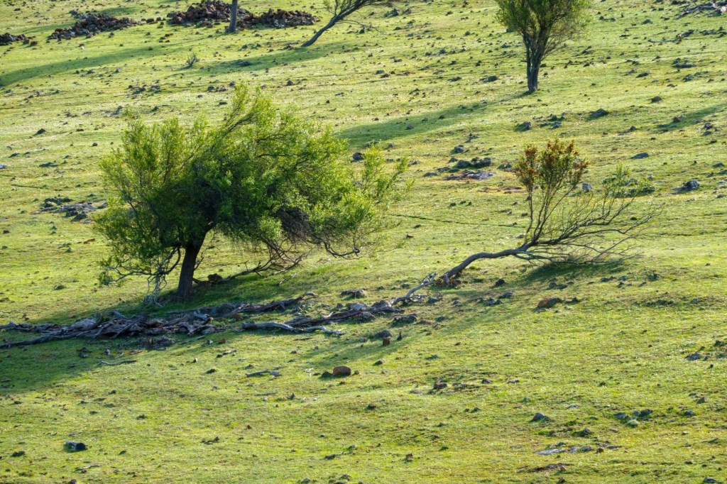
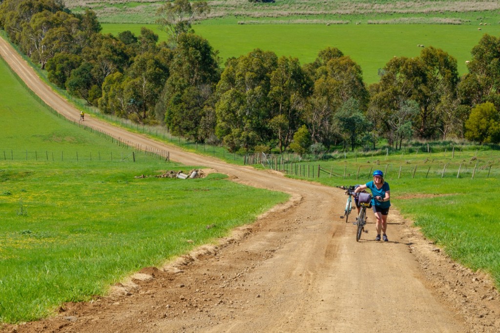
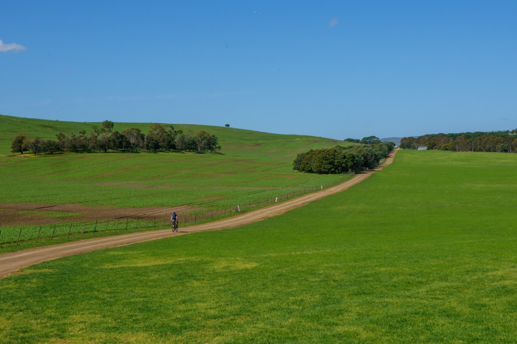
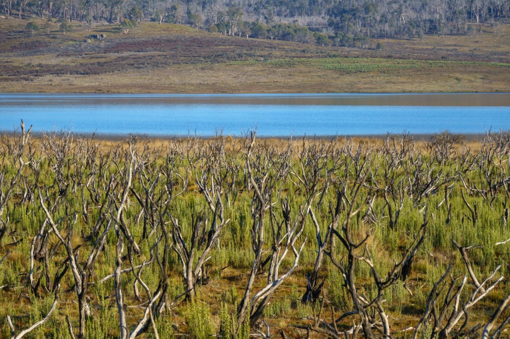
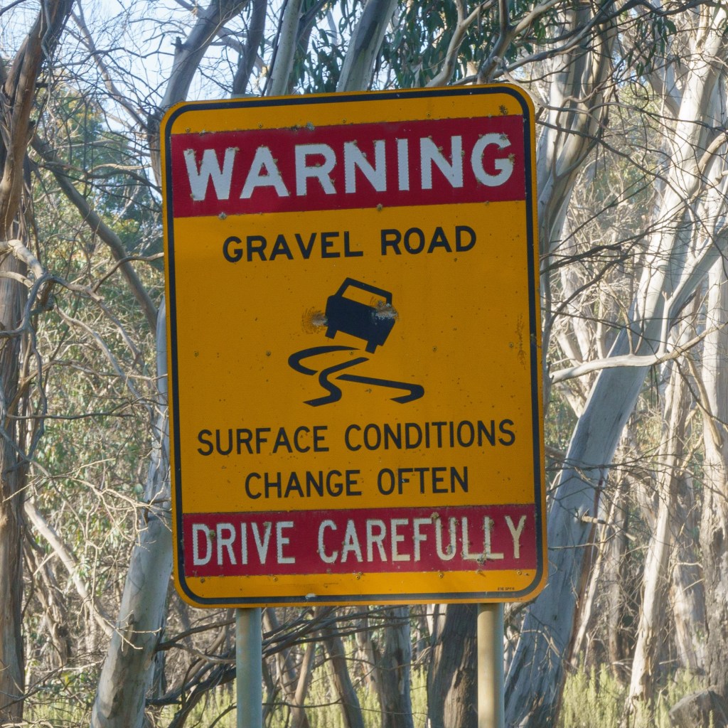
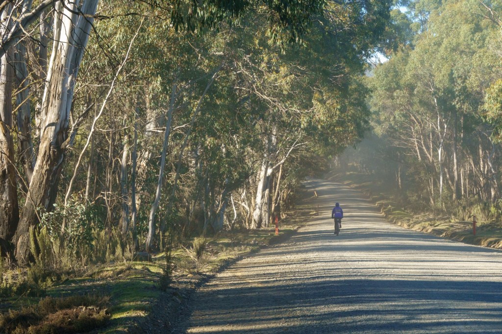
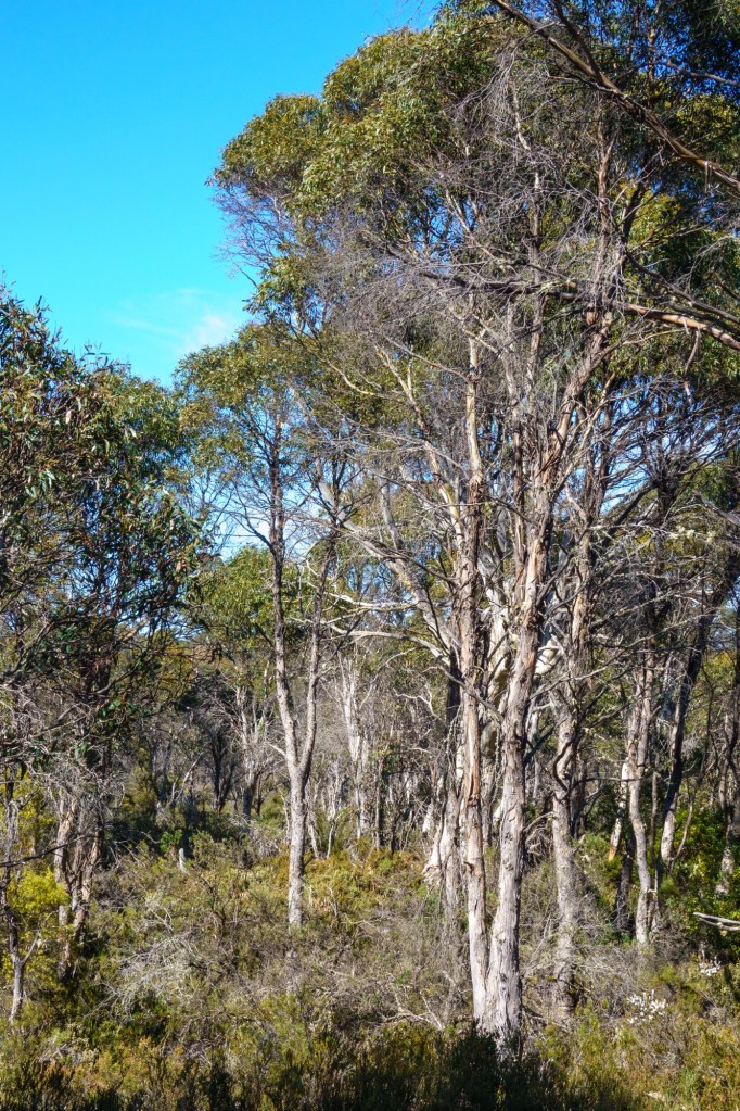
The start of today was 30km on a gravel surface, thankfully compressed. It was a bit like riding on a washboard and hoping for the best going downhill. How soft we must be considering what the Aborigines and settlers used. A desert scrub like landscape.

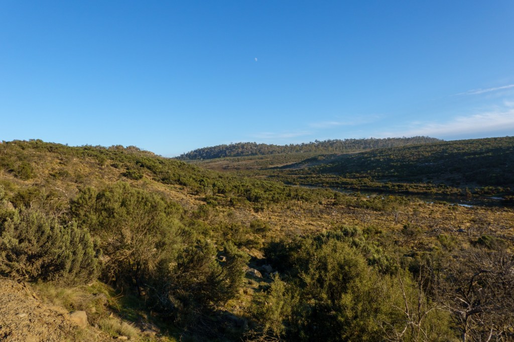
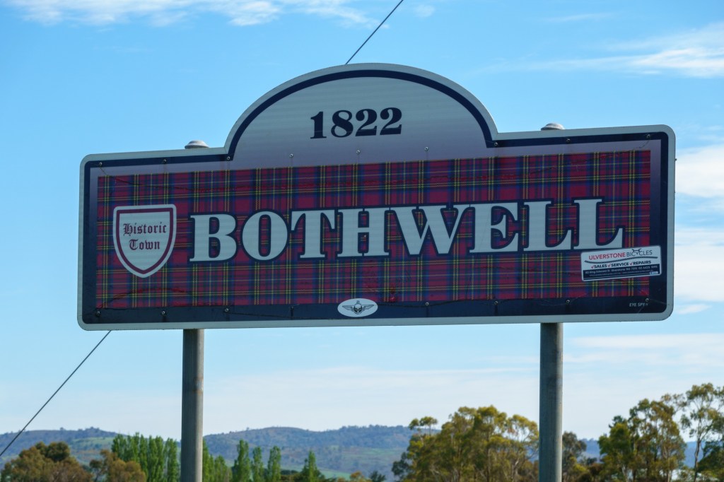
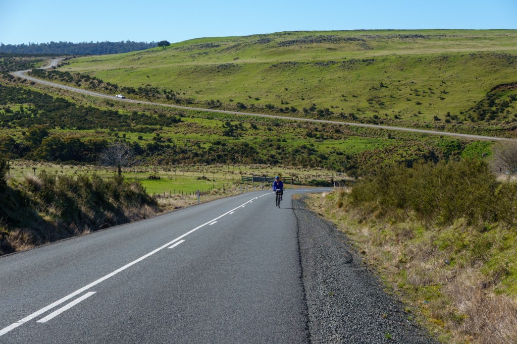
Crossing the East – West point, we’re near to the centre of Tasmania in Bronte. Must have been a favourite author of a settler. Different climates thanks to the hills (mountains) in the middle. “Annual means exceed 2000 mm over much of the exposed and elevated western half with a peak of about 3200 mm but range from about 500 mm to 700 mm throughout the midlands and in the drier parts of the south-east and east.” By comparison average annual precipitation in the UK typically ranges from approximately 800 mm to 1,400 mm.

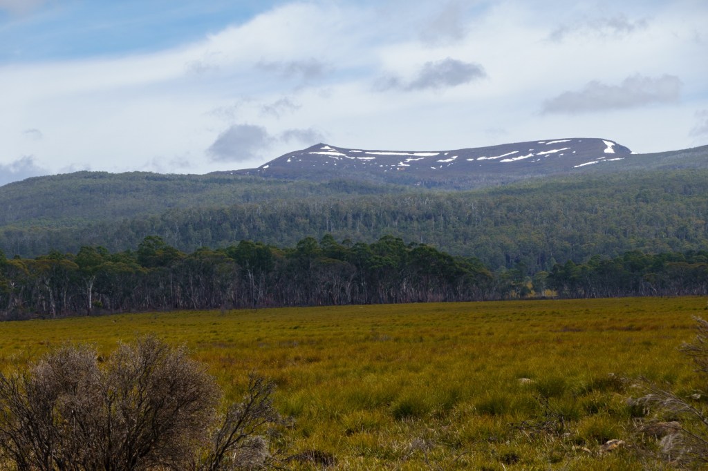
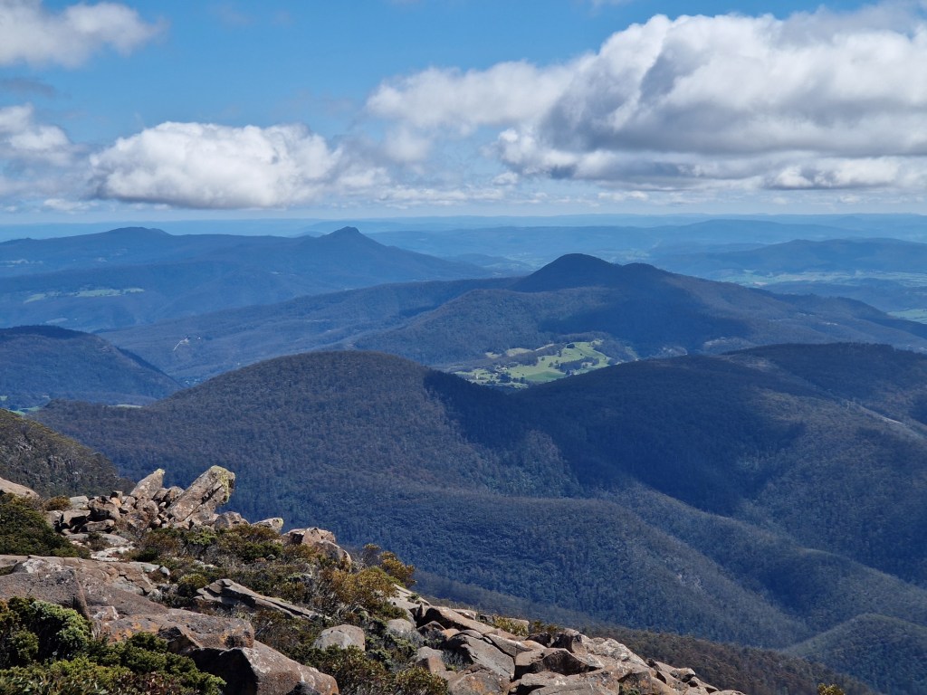
It starts to rain as we enter West Coast Council. Another committee compromise? The landscape changes to rainforest and mountains. Like the rest of the middle there is very few settlements, mainly some huts. The world heritage Franklin-Gordon Wild Rivers national park, named after the two main river systems lying within the bounds of the park, is dissected by its only one road. Roughly twice the size of Snowdonia. And as wet.

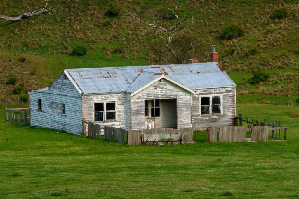
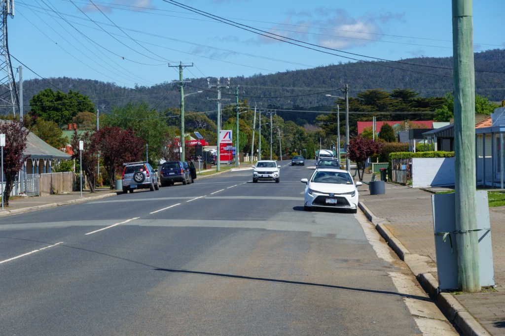
We enter Queenstown through the ghost town of Linda, marked by the ruins of the one remaining building the Royal Hotel. Though there is a hopeful cafe. A former mining town. The area has been mined for copper, tin and other ores since the 1850s with recent new developments. The mountain’s sides are bare rock compared to the lush forest of earlier. Trees cut down for mining props and fuel, rain washing off the poor thing layer of topsoil. It a harsh look framing the small town of Queenstown in Tasmania’s wild west. No photos yet: it was hosing down for the last 10miles or so.

Tomorrow a short hop to Strahan, an even smaller town on the coast. Forecast is colder than today: it started at a balmy 5C and got to over 10. Long Johns coming out…

D17 TransOceania Hamiton – Miena

Pronounced as in hyena, it’s main purpose is a hydrodam – the highest in Tasmania. Population of 127 who presumably like trout fishing. Could be a title of a new book “Trout fishing in Miena”.

Angus cattle came here, well a massive herd of 8, in 1824. And the farm is still going, hopefully having added to the gene pool.

The word highest is the clue that today was mainly up. Felt like being back in Lanarkshire. Hamilton, Bothwell, River Clyde. Bothwell lays claim to the oldest golf course in Australia – around 1860. Which presumbably means it’s 499 residents like playing golf (the first recorded game of golf was in Sydney in 1839 but why spoil a good story?). Though it does make you wonder about settlers and priorties. “Have you packed the essentials for the 6month crossing? Yes of course, the clubs are in.”

Open, rock strewn, pasture land. Into fresh smelling woods and then scrub. The Central Highlands are sparsely populated and delightful.

Tomorrow Queenstown No 1 via the middle of Tasmania.

D16 TransOceania Hobart – Hamilton

Or rather to Curringa Farm some 6k short of Hamilton. Tasmania produces 50% of the world’s legal opium supply for pharmaceutical use. So a happy farmer here, as are his 2500 sheep. As we look out over the green pastures it’s hard to take in that in two months he’ll be harvesting the poppies and the pastures will look like a desert.

The day started with a lovely cycle path alongside the river Derwent and the old railway. The commuters were going in the opposite direction. After 13k go left and up, and up. Here you can see how Hobart is hugging the hill side.

The descent opens into a completely different landscape. Small holdings nestling in the bush. New Norfolk is an interesting place. Just outside it at Bovey is Australia’s last paper mill. The Sanitorium in New Norfolk opened in 1827 and closed only in 2000: 23 buildings over 45 acres. The timing reminded me it’s not too different in Wales with the closing of the “shut away bin” for people with learning disabilities in Ely in 1989. Thankfully practices have changed.

The Derwent Valley is dotted with farms and vineyards. And churches, still in good use by the look of the well tended graveyards. Ellendale is a tiny wee place – with a church at either end. Spoilt for choice or did the settlers bring their divides with them?

As for direction, we’re heading north into the centre of Tasmania, the Central Highlands. The lady in the cafe/post office in Ellendale is expecting snow within the next week – we’d better push on!

TransOceania Hobart restday.

An immediate contrast. No wind. Our host drives us to the top ofMount Wellington. 1.2km above sea level, a steady climb tempts runners and cyclists. The views are impressive and show the scale of Hobart relative to the land.

1833 seems an important year. Battery point area is where they placed guns to defend from the British enemies in 1841: France and the USA. Convicts had a hard time, including the 10000 women shipped here.

Feels a thriving friendly city: the traffic is very quiet as it’s a Sunday.

A perfect rest day.

D15 TransOceania Swansea – Hobart

Headwind. That’s it for today. Headwind.

Very dry though: this is a drought area we learn as we depart the drying Swansea. We hug the eastern coast line before going up over a headland. Then pedalling to keep going down hill into the wind. Which is good as is also quite hot: toasting nicely as we tootle along.

Rural empty spaces with sheep wearing their wooly jumpers. Small towns with wide streets and porches. Coal Valley however named is a wine area of note. Bad Tea Tree must have done something wrong. Almost English churches appear as we approached Hobart.

Which is stunning in the evening light along the cycle path by the River Derwent. A fine bridge is admired only for a later realisation we’re going over it: an interesting experience.

Then out to dinner with fine folks we met on the Orient Express ride. Small world.