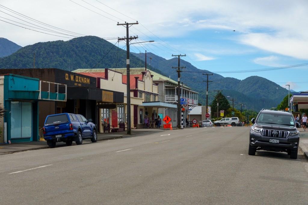
Like many of the other places we have cycled through, on this trip and others including the UK, minerals play an important role in how places develop, decline and then change use. Westport is an example. From an 1860s gold rush to a later coal abundance (30 million tonnes were extracted from nearby Dennistown and shipped from here). Uranium was just up the road. Today it is a tourist entry point to the South Island north west coast.
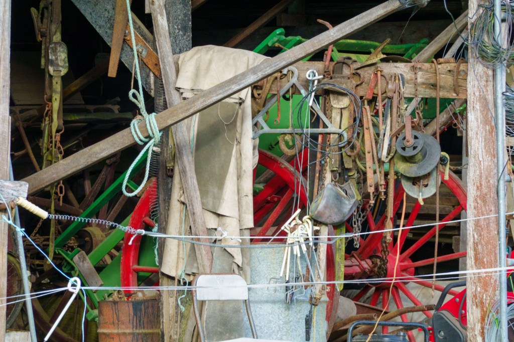
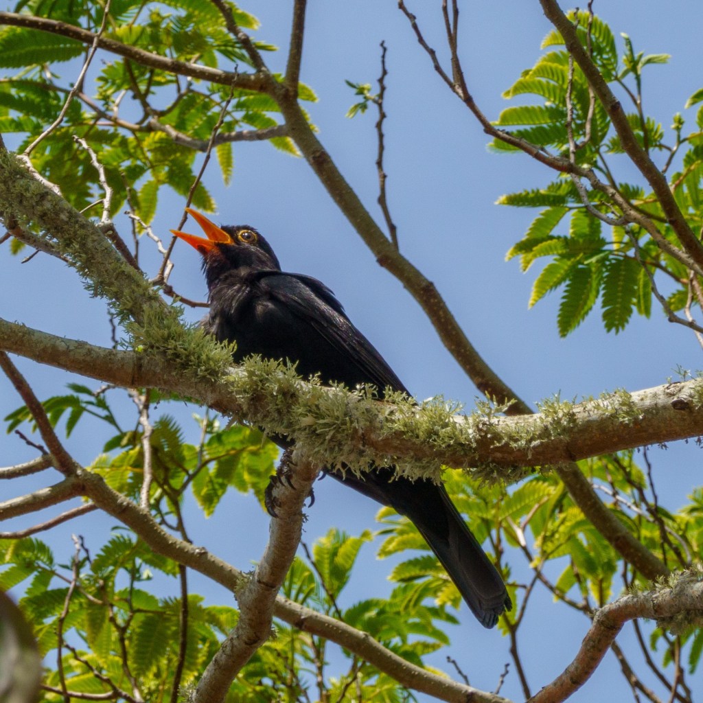
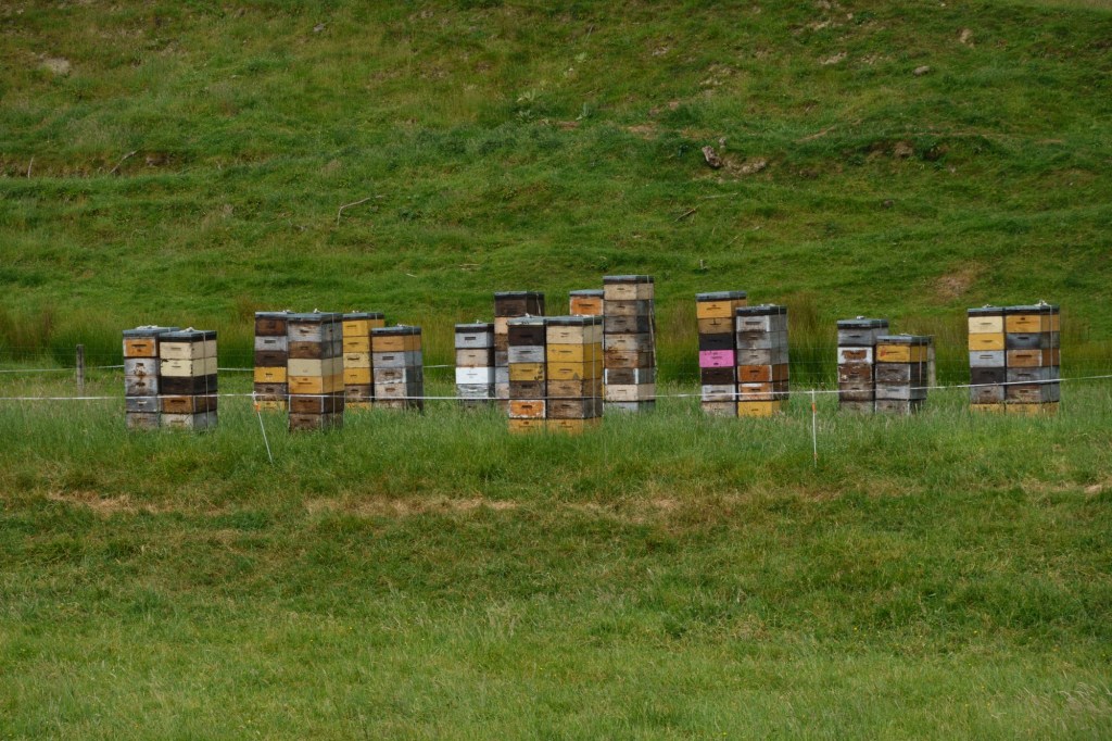
RelaxingGo on, pull the chainHobbyistNo ideaWeka, Maori henBuller
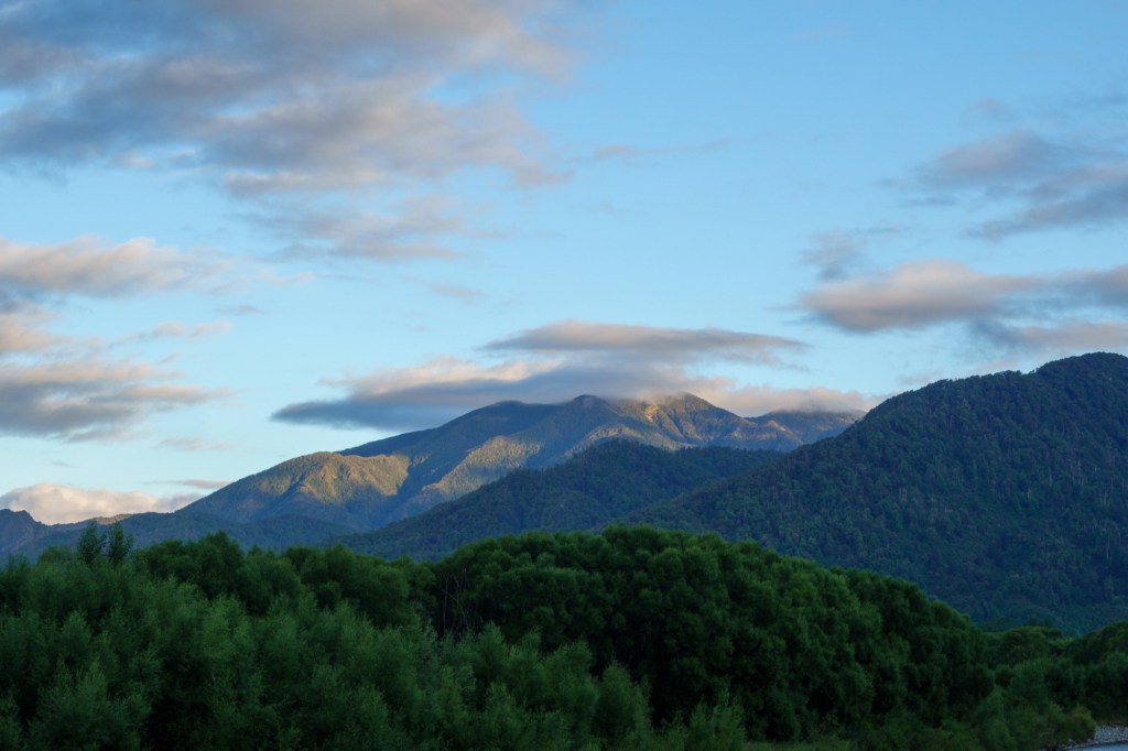
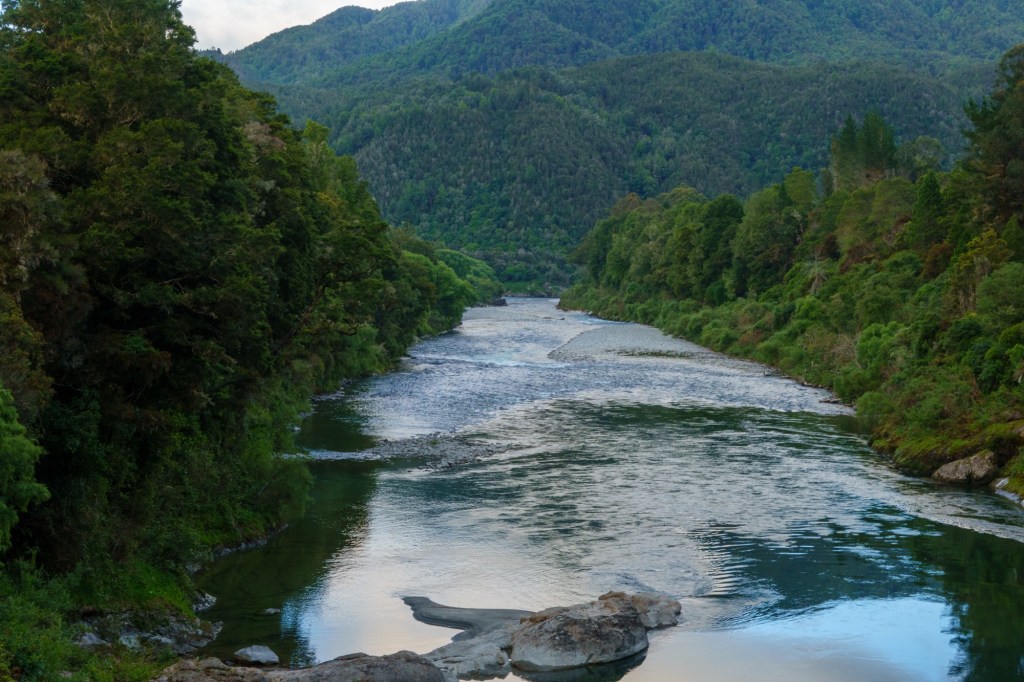
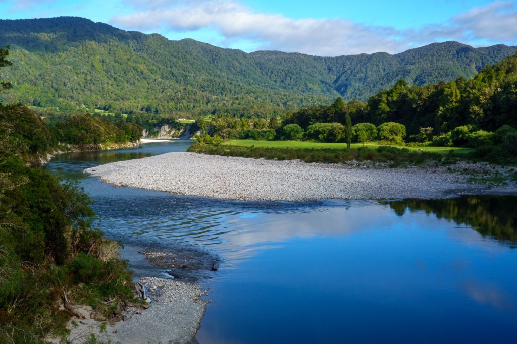
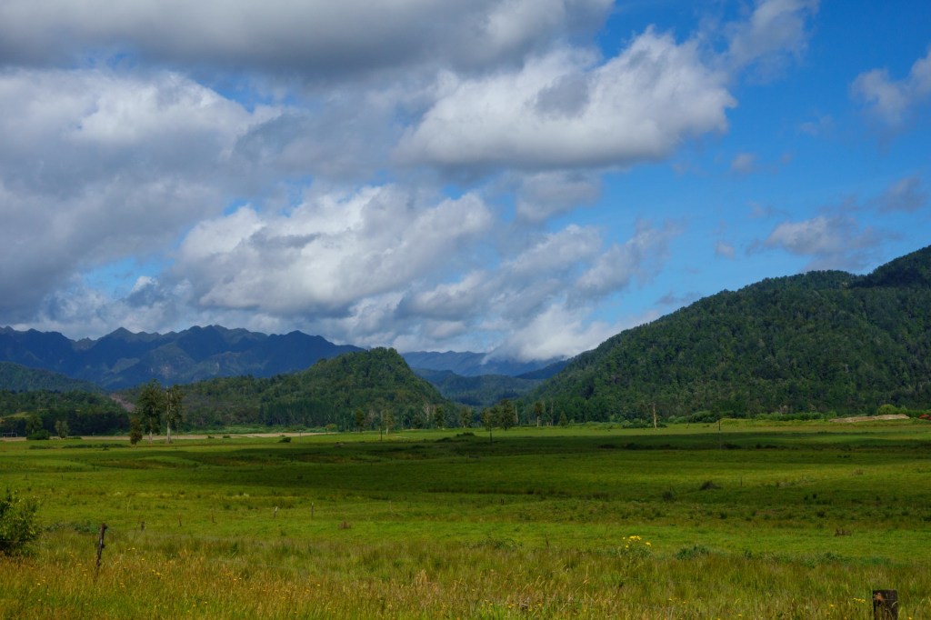
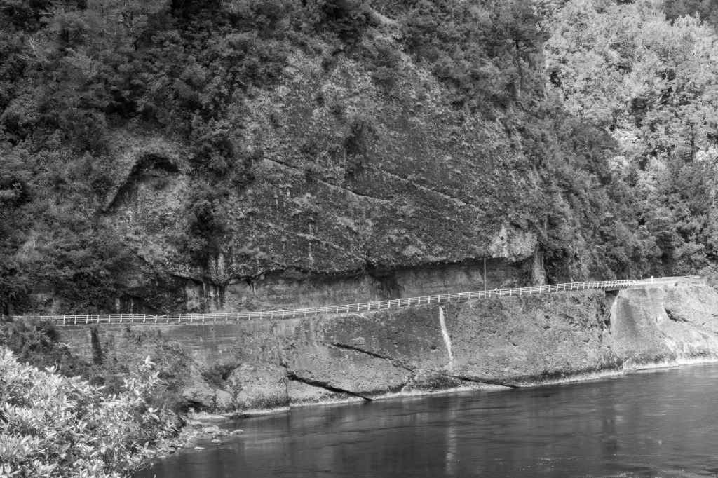
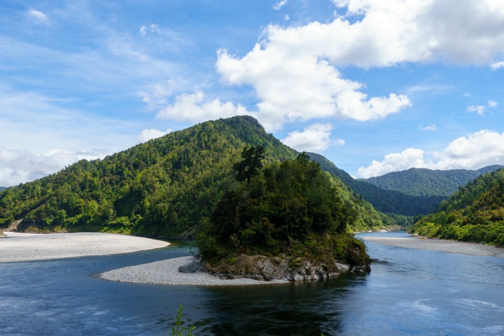
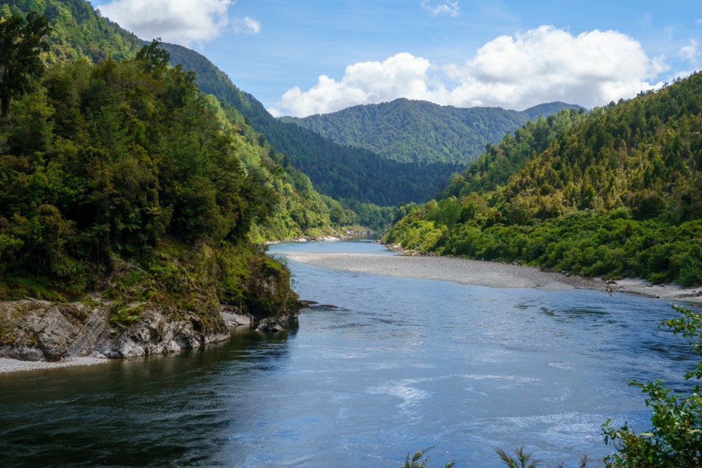
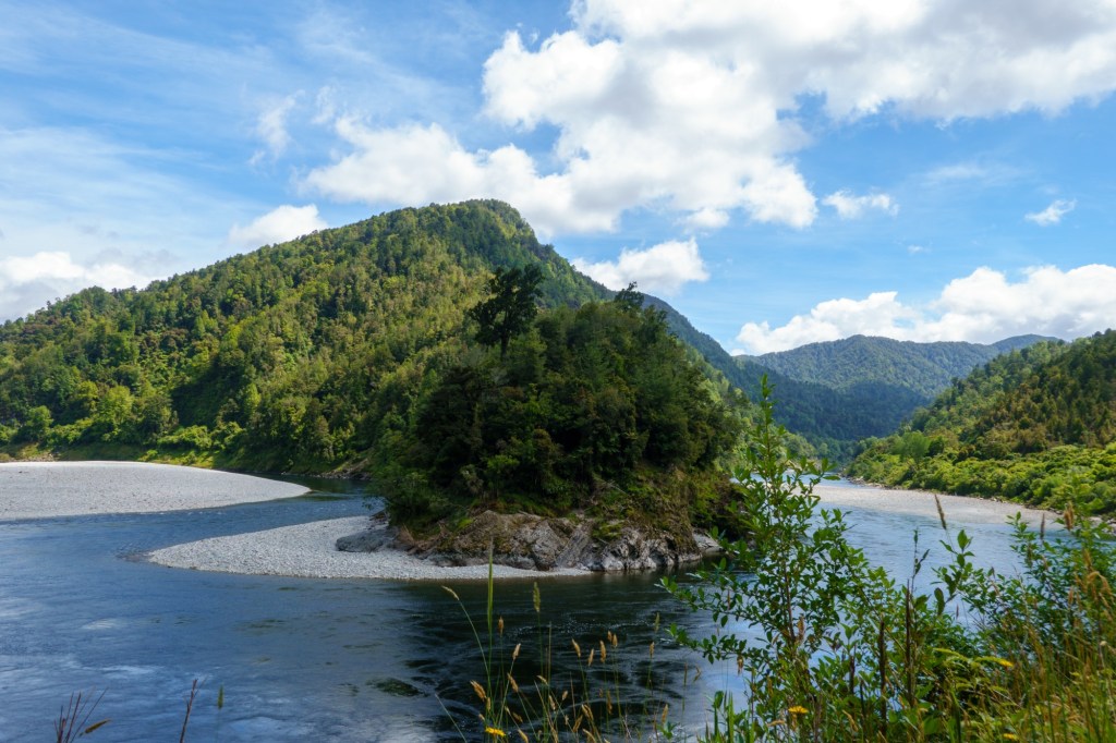
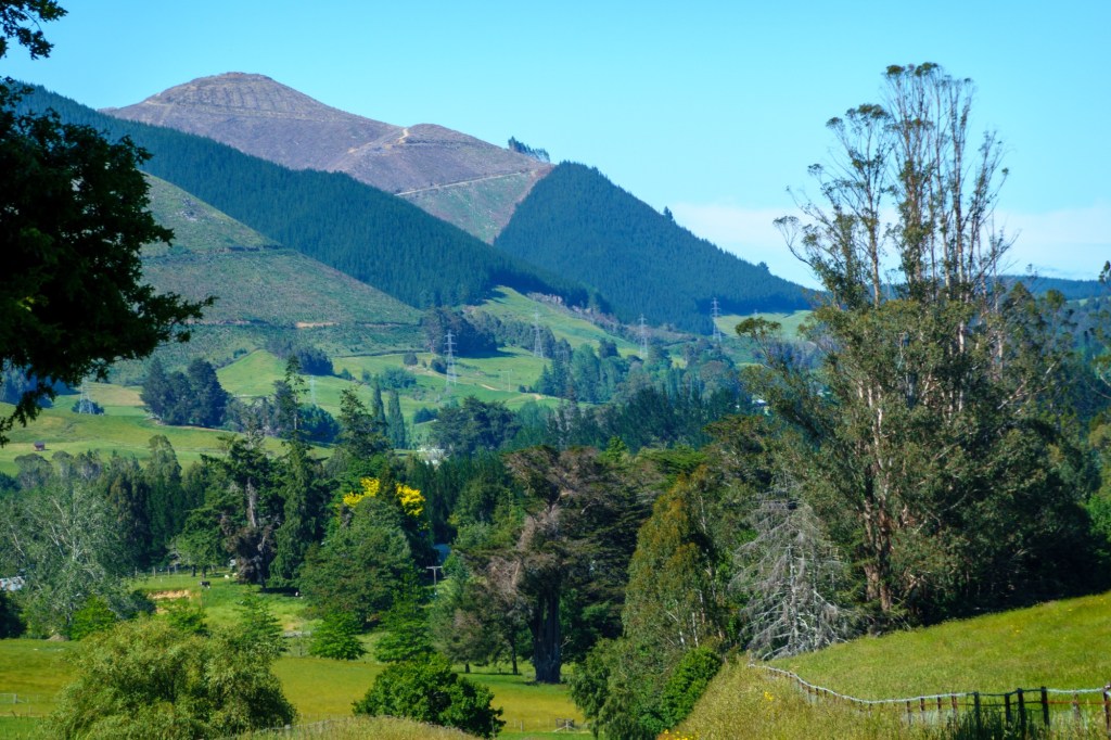
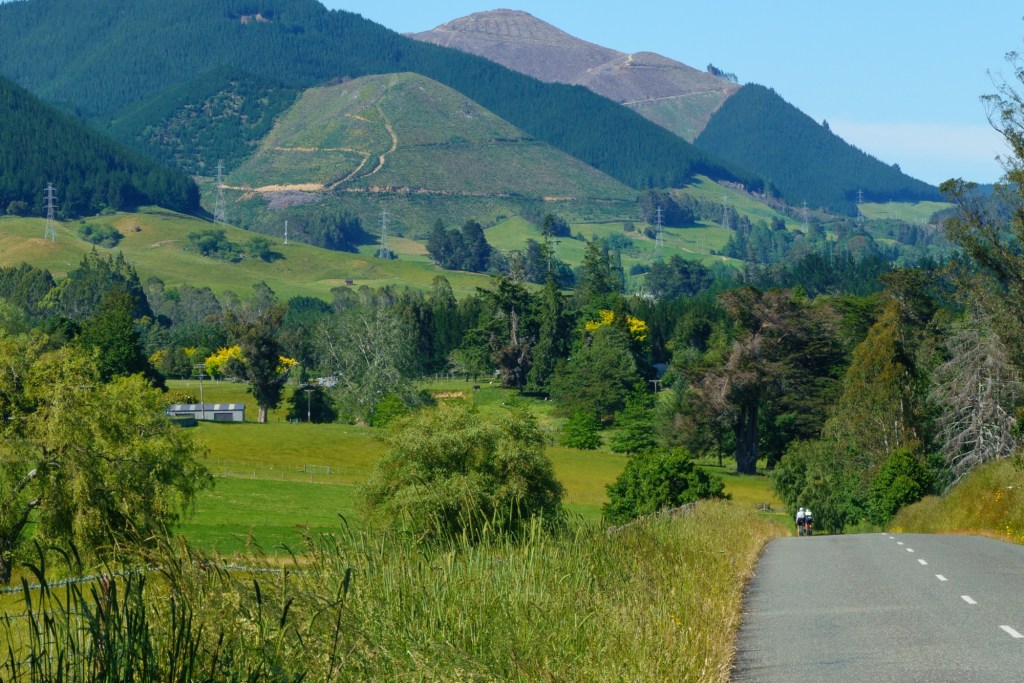
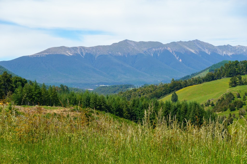
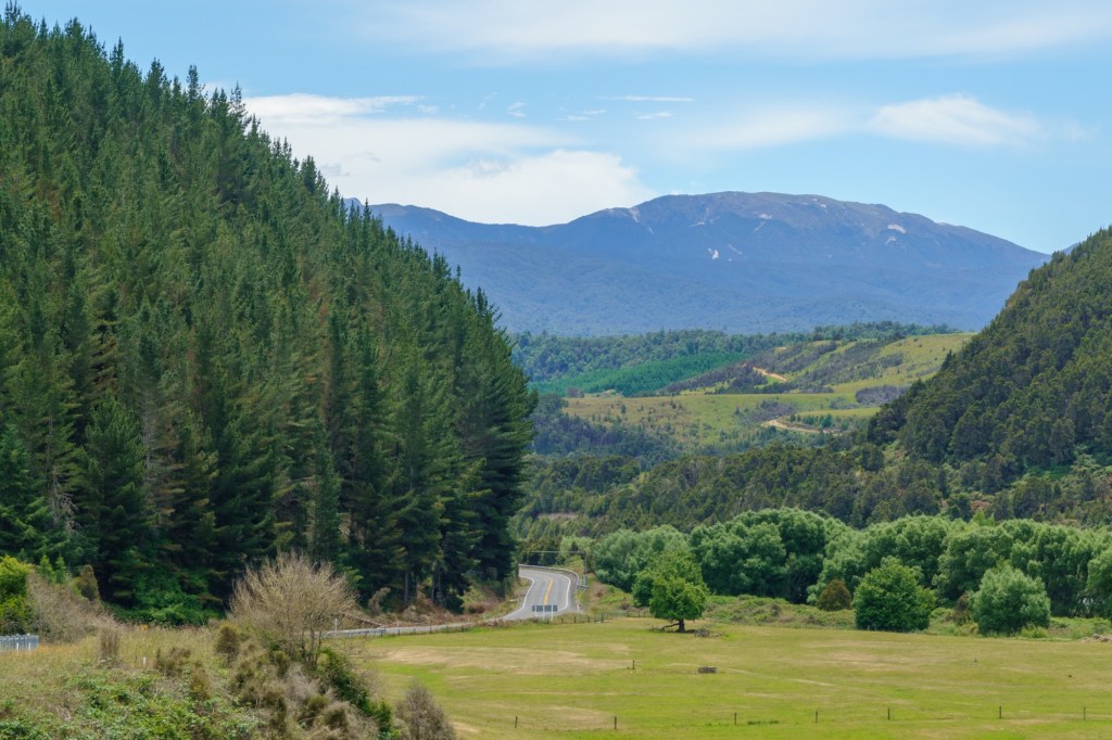
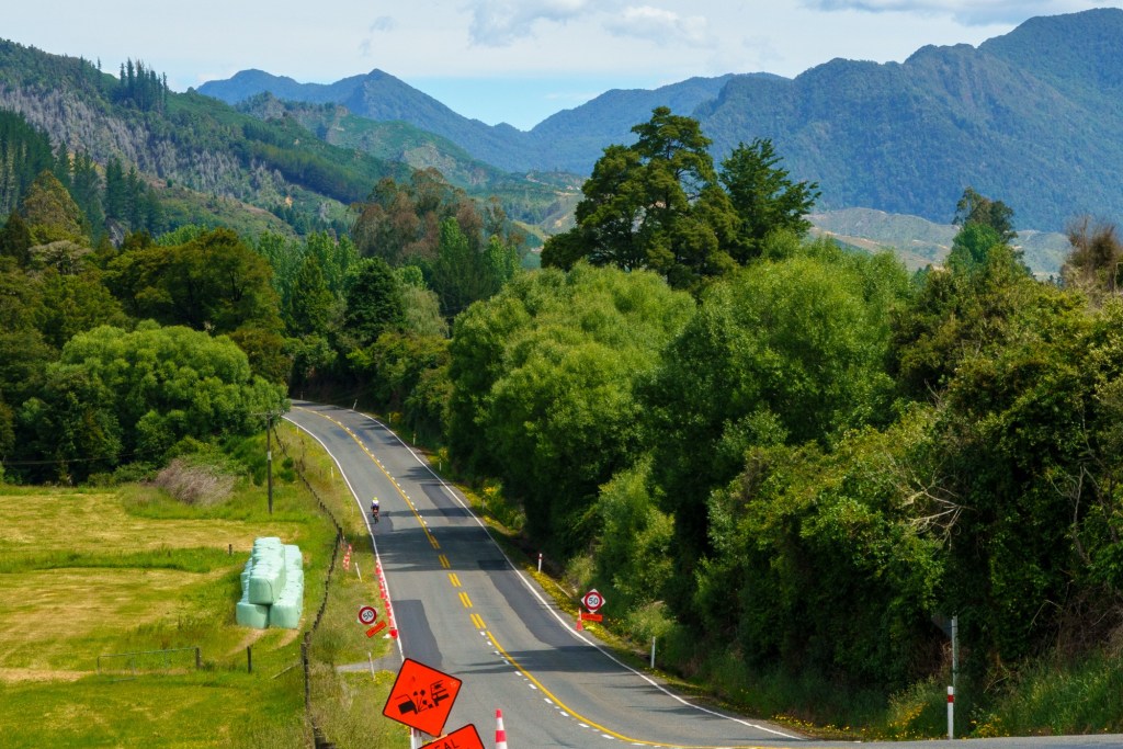
The other connection is rivers. We followed the Buller river all today…..you’ll of course remember this from yesterday’s missive. The landscape is enormous – from nearby distant mountains, to narrow gorges, to pasteural flood plains. We were fortunate with the weather so (once the sun got up proper, we left at 6:30am) a blue sky and a light wind guided us along the highway.
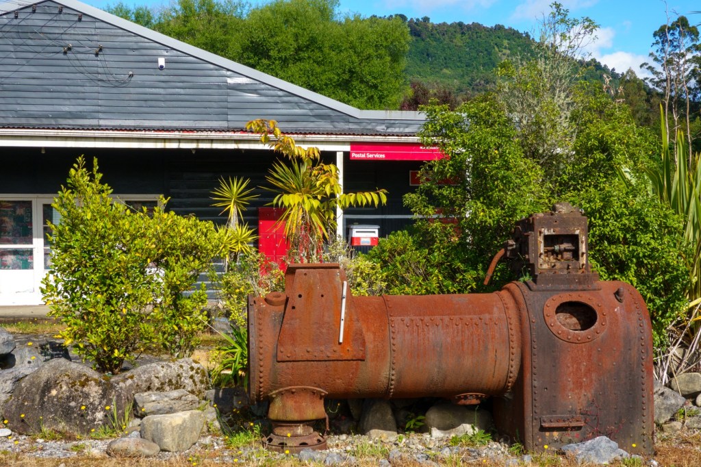
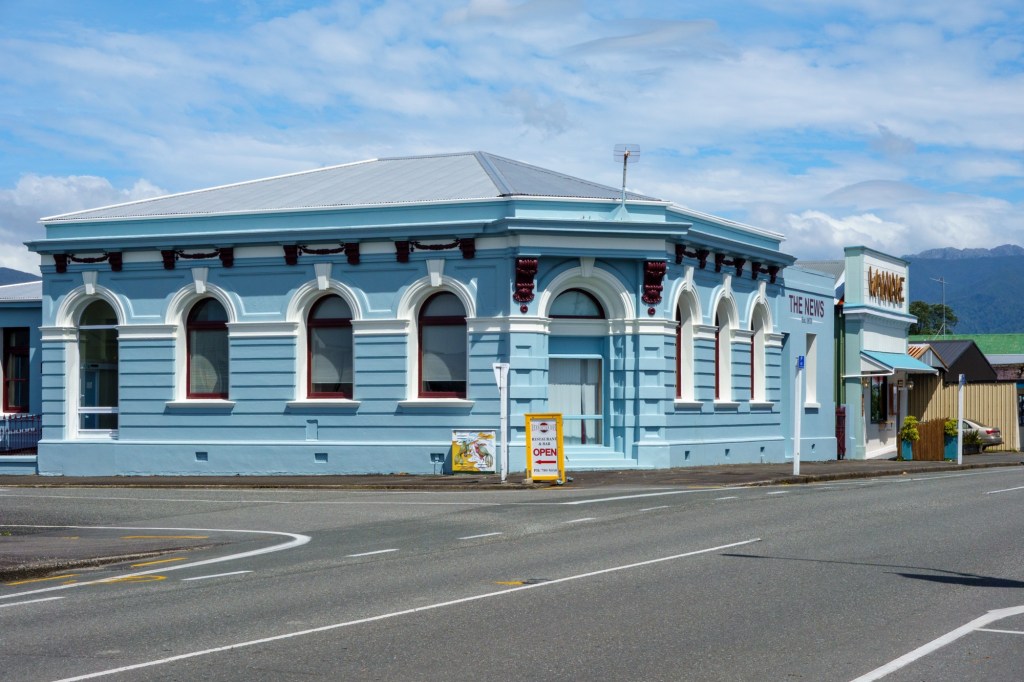
Post delayedBob’s Church?Fearless explorerFaulty
By the time we get to Westport the river is very broad: a 300m span bridge is needed. It must be terrifying when it floods, as it does. It’s Saturday night and the prospect of sharing a restaurant with a miner’s Xmas party is also terrifying – curry it is.
Buller meanders
It is scheduled to rain for all tomorrow – a proper rest day beckons!
Doesn’t make comforting reading “Murchison was the epicentre of the third deadliest earthquake in New Zealand’s recorded history – 1929”. It’s a small rural town – the Hampden Hotel where we ate was jumping with Friday night revelry: they are probaby all related.
GrapesWrath
Nelson turned into quite a ribbon development along the waterfront. Recalled the father of nuclear physics, Ernest Rutherford, was born here. I say recalled – the large sign was a giveaway.
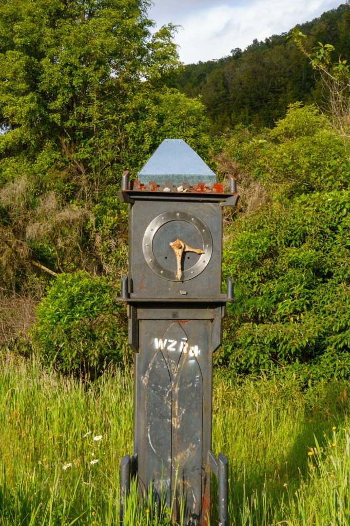
Huckleberry hound?Trig
Mainly a quiet road for the first half as we ascended through the wind. A main road, OK though, as we pedalled through the descent through the wind. At least my washing is drying quickly!
Potential
Tomorrow we head to the coast, which the person in the room next to me informs me is “hoaching” with nasty little sand flies. Time to DEET up (other products are available, I just can’t remember what they are!).
Riding to Westport and a restday. Bob has sent fascinating info on the geology. I think I get the jist…
You will follow the Alpine Fault southwestward for the remainder of the TdA trip. It isabout 40 km SE of Greymouth, trending southwestward, and goes o_shore NW of Queenstown. In topographical maps (on Google, for instance), it is a remarkable SW/NE linear feature, usually at the base of the Southern Alps. At its northeastern end, following a significant bend south of Murchison, it continues east-northeastward as the Wairau Fault, passing between Picton and Blenheim.
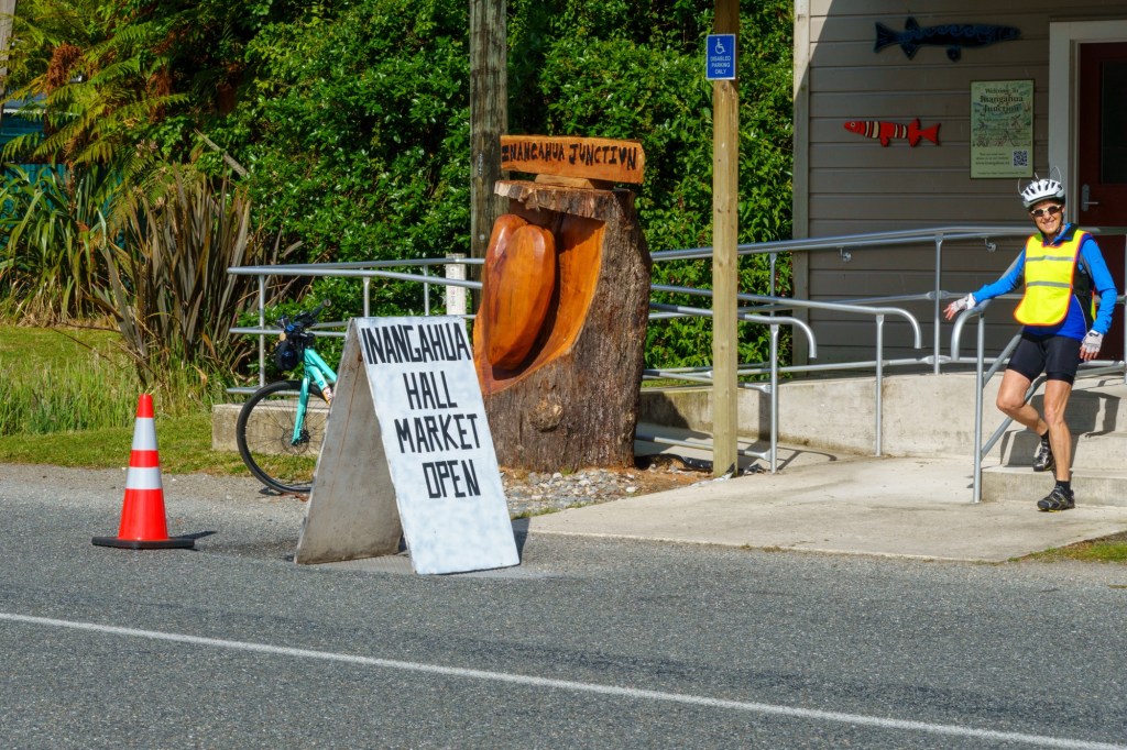
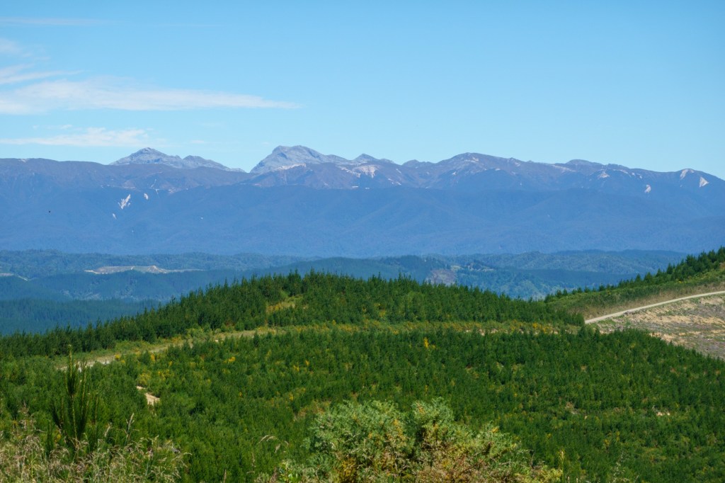
I’m sorry to miss Stage 48, Murchison to Westport, on Saturday. The morning ride goesthrough the spectacular Upper Buller Gorge, cut through Cretaceous granite and Ordovician metasediments. Then you’ll have lunch in or near Inangahua, before riding through Lower Buller Gorge, cut into more Cretaceous granite. You should have spectacular scenery (if it’s not raining …).
At the end, you’ll ride into the coastal city of Westport, the oldest European city on the west coast of the South Island. The Maori have lived in the area since the 14th century. (The granite was the bases of andesite volcanoes above a subduction zone when NZ was still part of Gondwana. NZ broke away from Gondwana about 80 million years ago.) Inangahua sprang into worldwide prominence (at least among geophysicisits) in 1968, when the small town was mostly destroyed by a magnitude-7 earthquake on the Inangahua Fault, one of many faults in the Alpine Fault system. The Buller Gorges were blocked in more than 50 places, by landslides and by the highway sliding into the river. With roads and communication destroyed, about 50 people hiked to Reefton, about 7 hours to the south, to get help. A huge landslide in the Upper Buller Gorge dammed the Buller River, forming a lake more than 30 meters deep. Fearing a catastrophic erosion of the dam, authorities evacuated about 10,000 people downstream. Fortunately, when the river topped the landslide it eroded the dam slowly, averting major damage downstream. The 1968 Inangahua earthquake had some of the highest vertical accelerations ever recorded. This may have happened because of its shallow depth, large magnitude, and probable high stress-drop. Although the highest measured acceleration was about 0.6 g (0.6 times the acceleration due to Earth’s gravity), there was evidence of vertical acceleration greater than 1 g: In a few places, boulders were resting on the ground uphill from holes where they had apparently lain. It appeared that the ground had accelerated downward at greater than 1 g and moved laterally before the boulders landed. A small wooden church had come off its foundation but was still sitting upright, a meter or two from its original position. Inside the church, very little was disturbed. Hymnals were still stacked on a table. It appeared that the Earth had accelerated downward at greater than 1 g and moved laterally before the church landed. The area also was shaken in the 1929 Murchison earthquake, magnitude 7, about 65 km north of Murchison on the White Creek Fault, part of the Alpine Fault system, which trends SSW/NNE between Murchison and Ingangahua. This earthquake happened to be in a good location: Inge Lehmann (a Danish seismologist, one of the few women in thefield in the early 20th century) looked at seismograms from around the world and in 1936 deduced that the Earth has a solid inner core.
Most of the non UK people on the trip didn’t know who Nelson was, so no point in introducing them to “Kiss me Hardy”. A lot of the streets of Nelson were named after UK nautical folks when building it in 1840. Maybe the 1805 Battle of Trafalgar was still a recent memory?
Picton Looking away from PictonAnother estuaryGetting the picture?
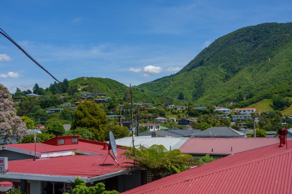
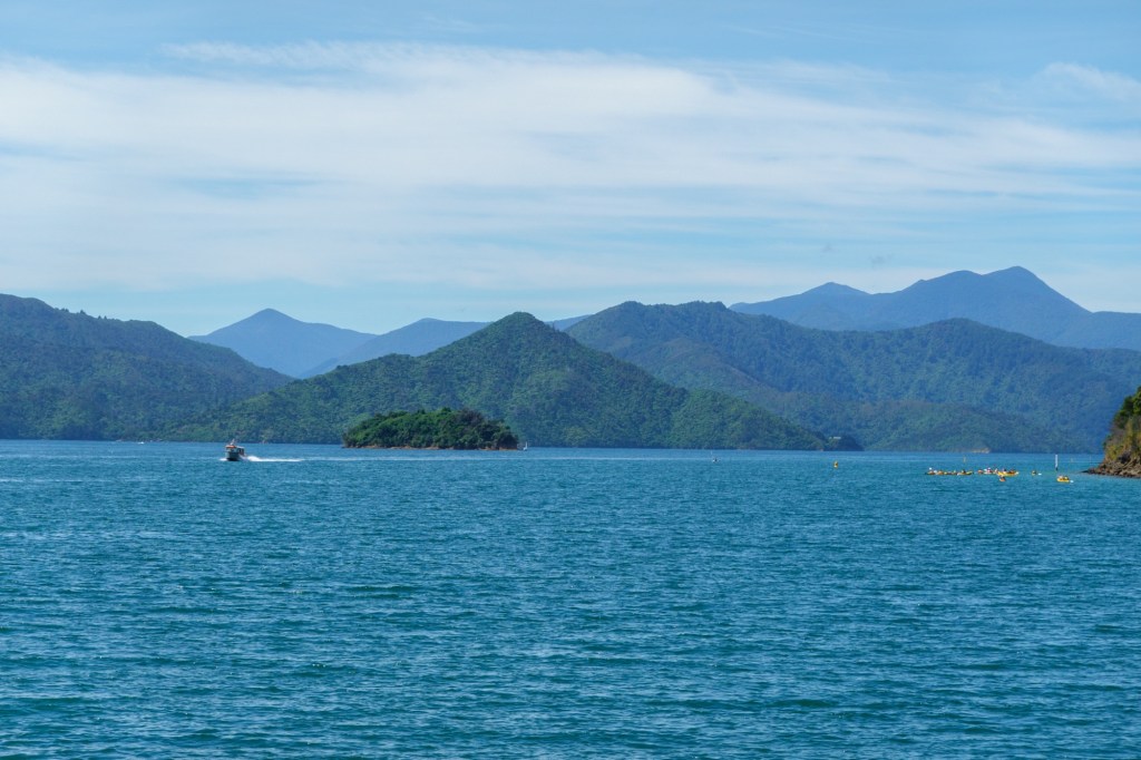
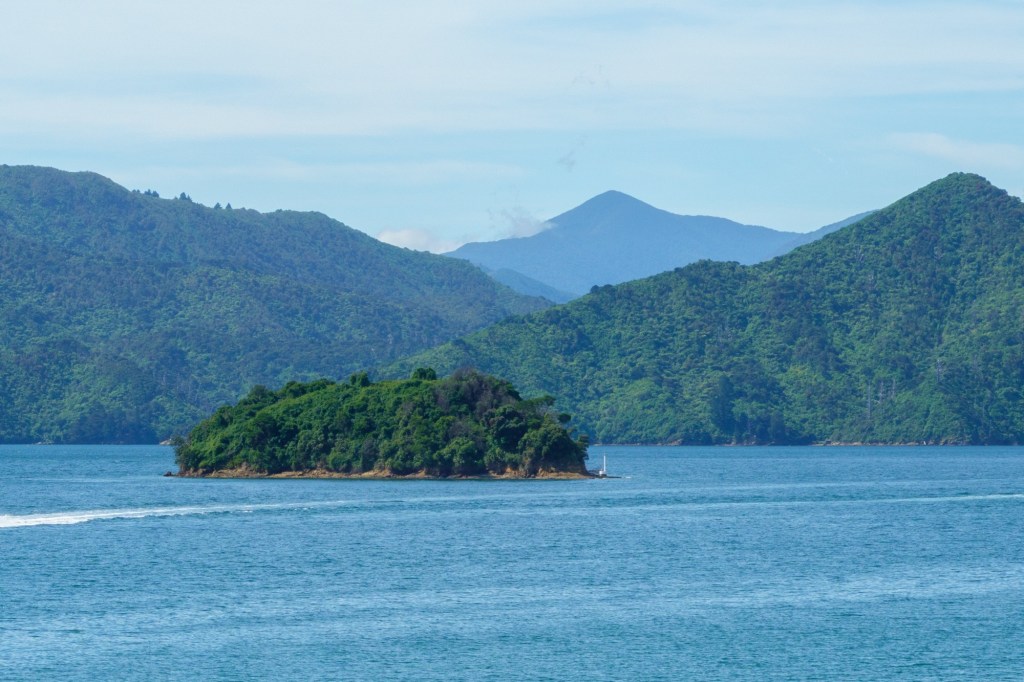
A hilly, hot and headwind day as we headed West – the temperature today was 10C higher than the usual average. Stunning scenery with azure blue sea and rivers; deep green forested hillsides; sparse farms.
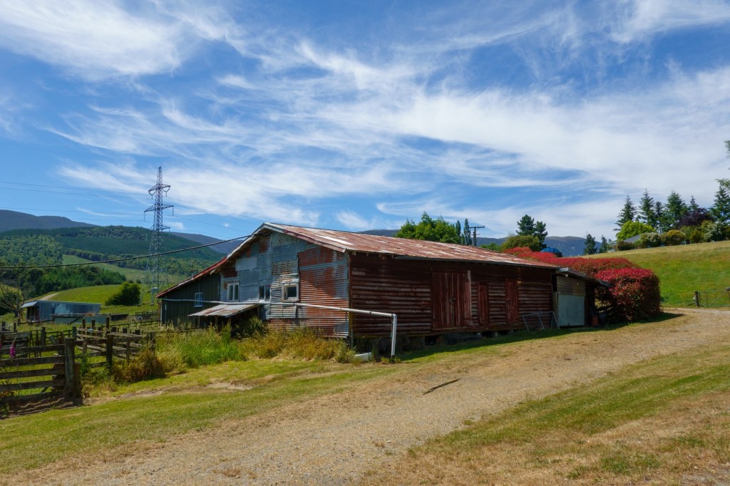
CraftySmall holdingLookout
Coffee in Havelock which Barbara and I had stopped in 5 years ago – I recognised the Green Mussels. No one paid much attention to mine.
Mussel townMuscle(?) townRoger Miller meets Van the MAnSwimming pointNot KeithKeith
Tomorrow we go to Murchison, named after the Scottish geologist. I wonder if the 480 residents know that? I might ask them individually when we arrive……
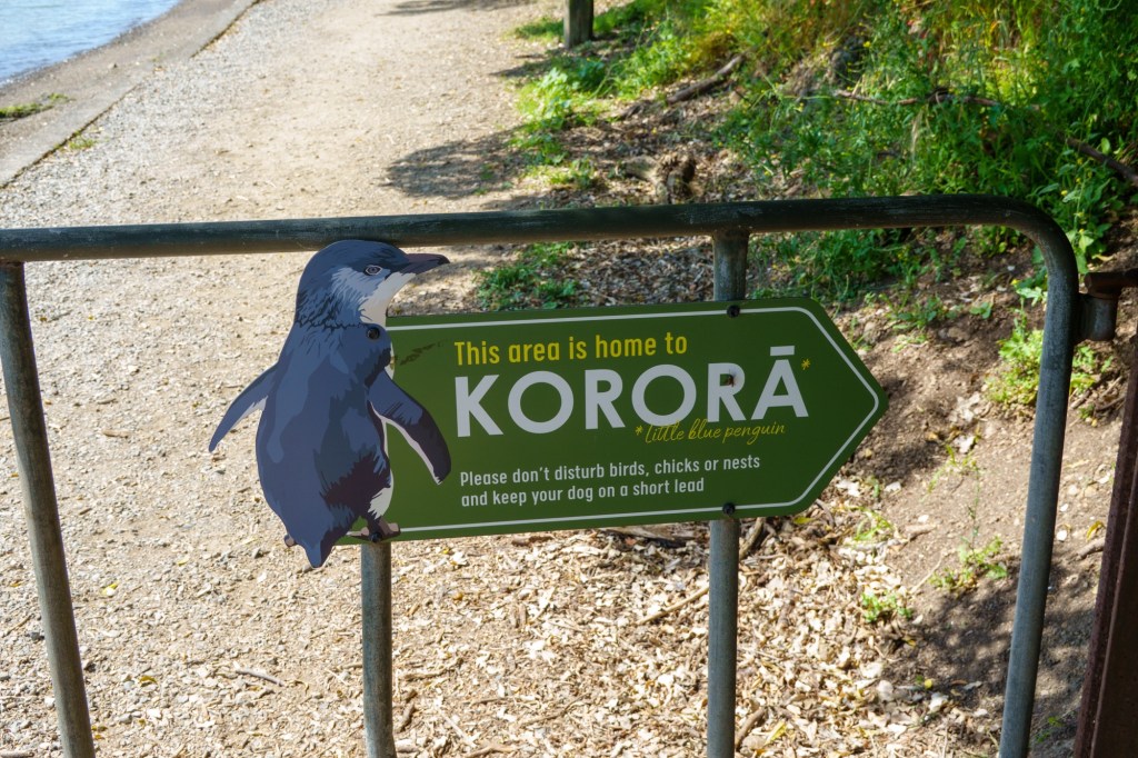
Lost weightXmasPenguin flaggedHaircutTree house?Tide’s out NelsonNot Nelson column
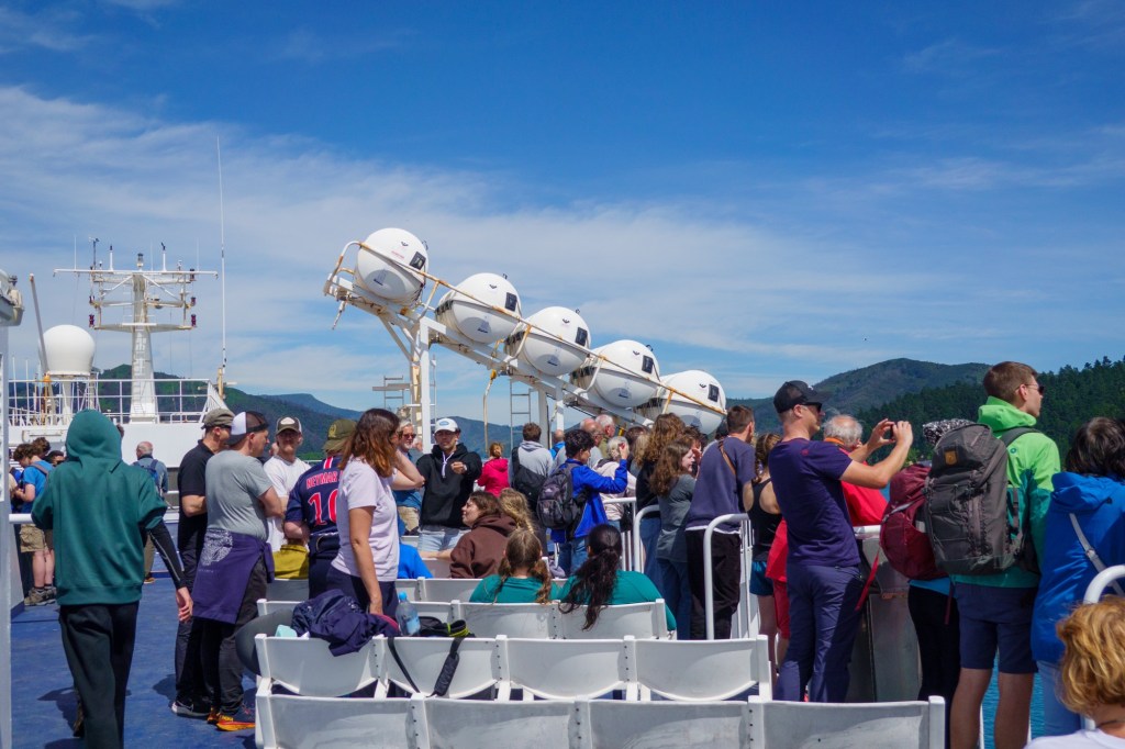
A combined ferry from Wellington and a restday in Picton. The 3hr crossing was smooth, despite the wind, and noisy. The noise was parties of school kids exercising their lungs and jostling hormones. Made me think corporal punishment wasn’t such a bad thing. Actually they were all ok!
SailingJostling
The person opposite me was reading “Normal People” which I thoroughly enjoyed as a TV programme and wondered if the book was as good. She’s doing it the other way around. And on her way back home to Quebec as a lawyer doing an internship.
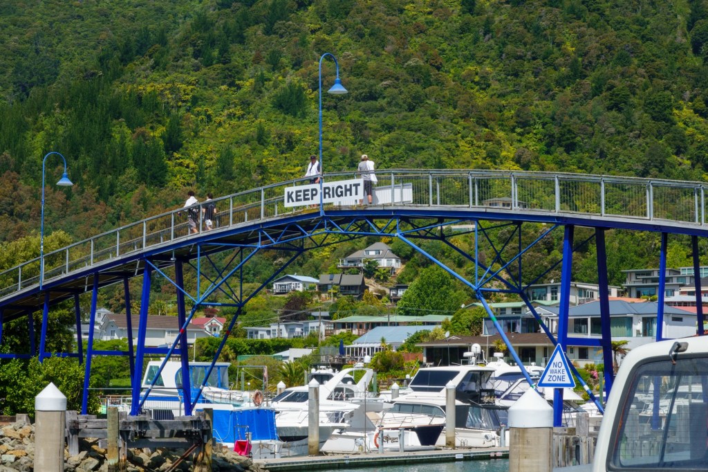
Picton
An interesting contrast opened up – as a young person she is in favour of Quebec independence from Canada. Two “older’ Quebecans (???) have joined the trip and don’t see the need/purpose. Sharing my thoughts about Scotland and UK. We’re better off together. I’d also better get onto another subject, else Brexit will surface. Oh, it has!
Picton 2
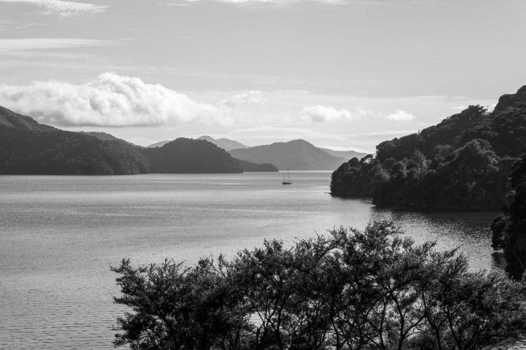
A sunny and toasty 29C as we navigate through the fjords approaching Picton. Which is a delightful wee passing through place, in the Malborough region – as in wine not cigarettes.
Our geologist ex-rider informs us, the Wairua Fault, on of the world’s big strike-slip (aka horizontal offset, but you knew that, goes down a valley 10 miles south of here. I hope they’ve followed the good earthquake construction guidance – first question to ask when you get in.
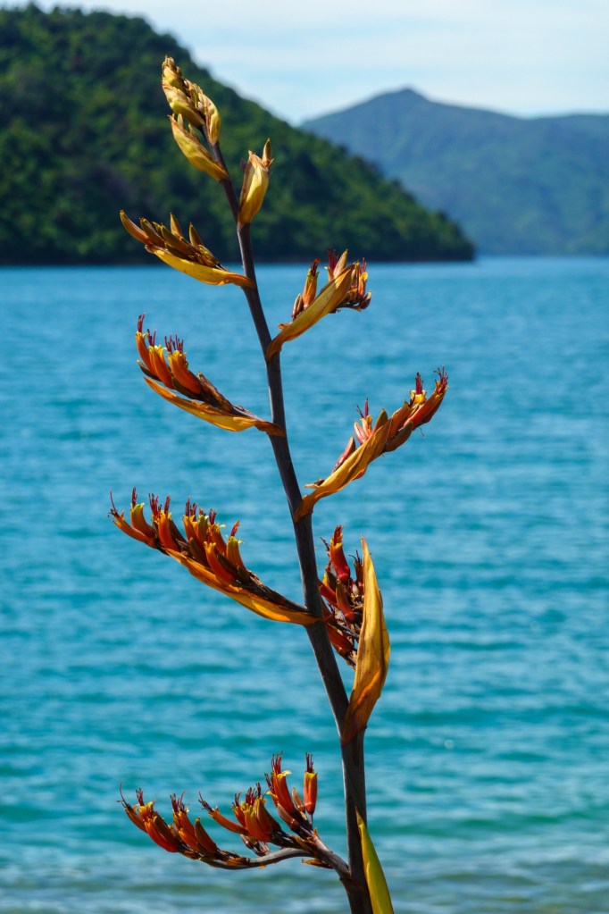
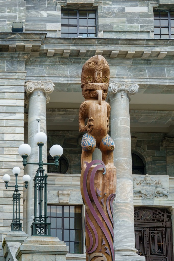
Just niceUnique to NZ
There’s a military theme – today in Picton named after Sir Thomas Picton who has a bit of a reputation (Tyrant of Trinidad/Blood Stained Governor) and [by conrast} a brave soldier, the highest ranking to be killed at Waterloo. I like his statue (controversial it appears) in Carmarthen. Tomorrow we cycle to Nelson. I wonder who that was named after?
And it promises to be hot with a good headwind. Toasty….
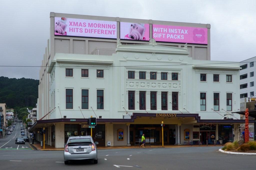
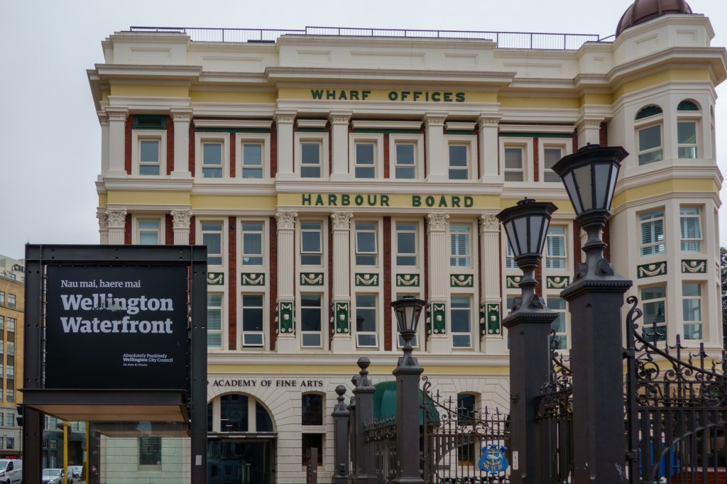
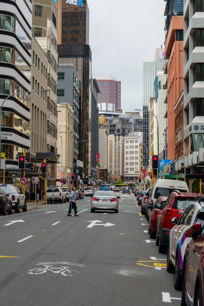
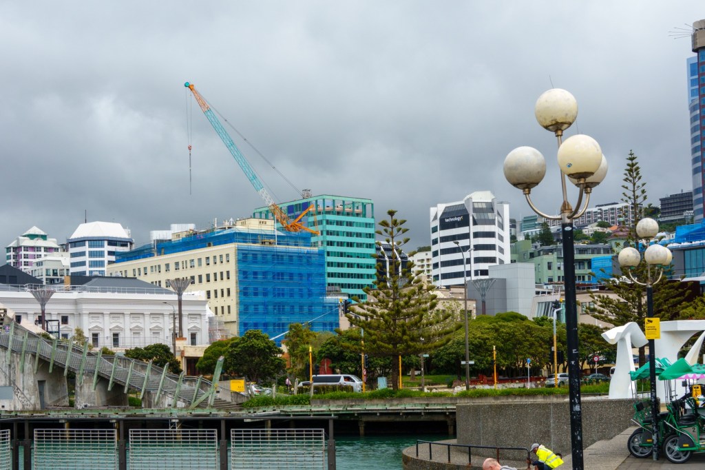
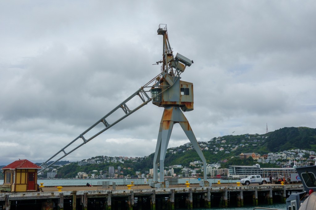
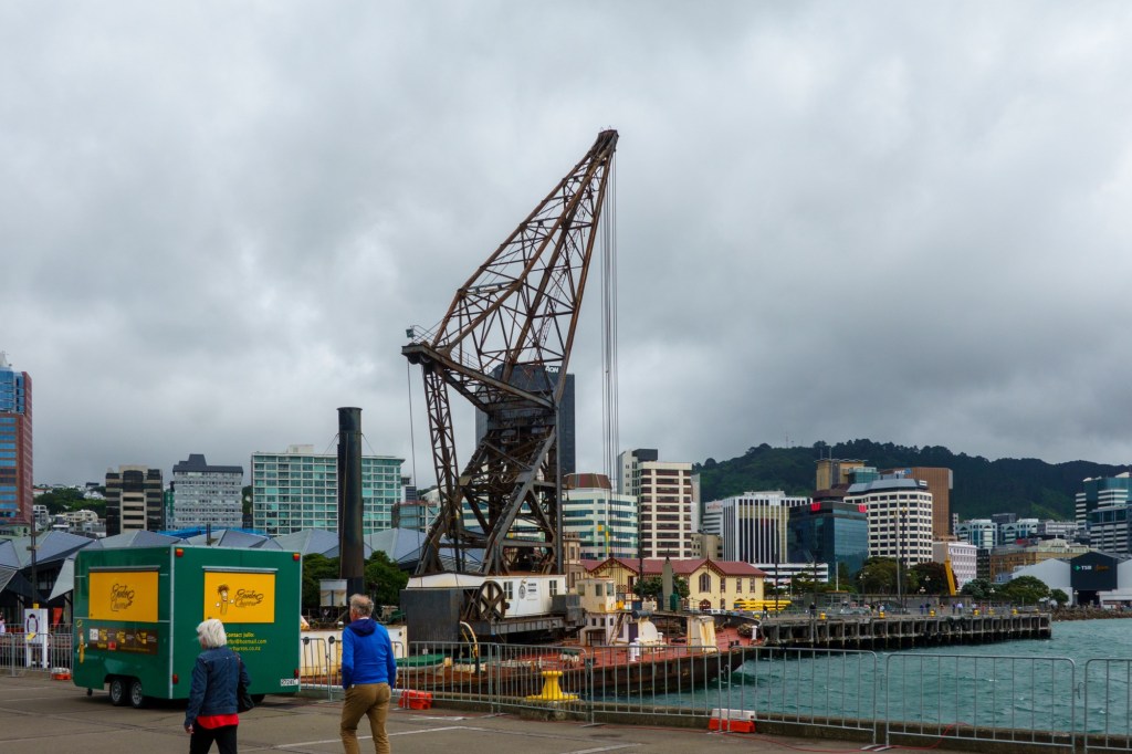
Feels a nice friendly place: lots of eateries, craft things, business centre. Well spaced out and easy to navigate. The “usual” dockside regeneration / repurposing of buildings, done well. Relatively quiet – it somehow doesn’t feel like a capital, though I can’t pin it down.
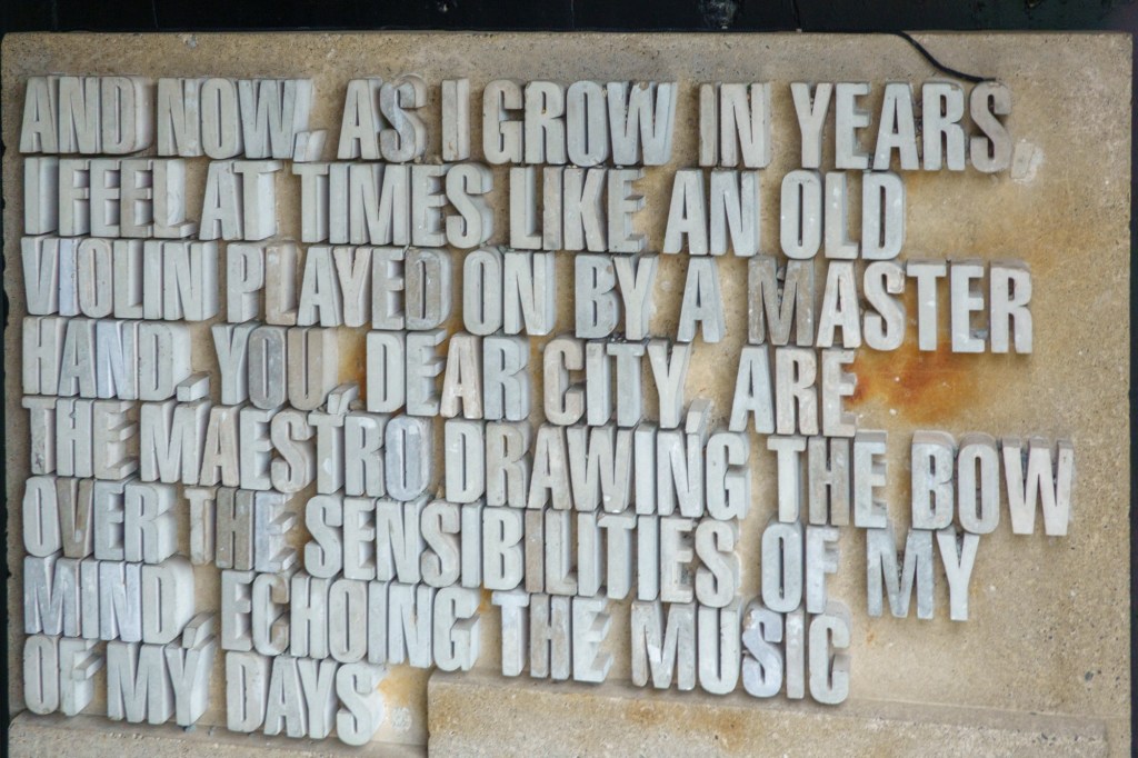
Former ambulance depotQouteWatching quietly
Wellington is prone to earthquakes because it rests on the point where two tectonic plates meet. Kilometres beneath Wellington the light, thick Australian plate rides over the heavier, but thinner Pacific plate. These plate movements have resulted in three major fault-lines running either through or very close to Wellington City – the Ohariu Fault, the Wairarapa Fault, and the Wellington Fault. When one of these faults shifts suddenly that earthquakes occur. The number of earthquakes which occur in Wellington has led to our city becoming one of the world’s leading centres for the study and research of earthquake activity and for the development of seismic strengthening techniques in buildings.
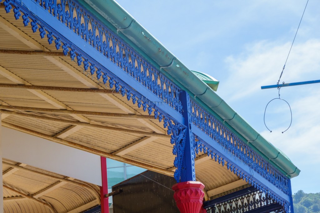
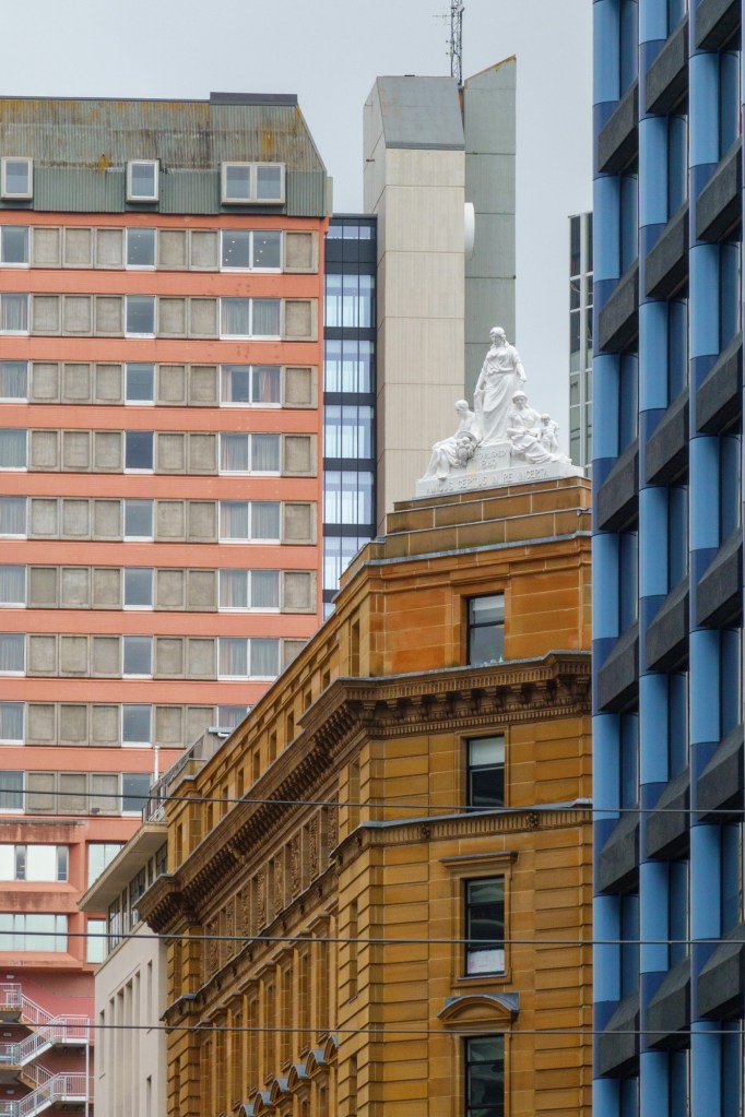
Fancy ironworkJust a streetOld Govt office
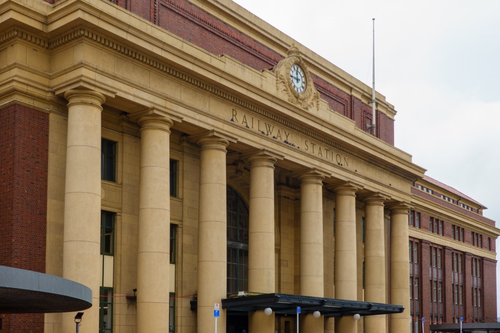
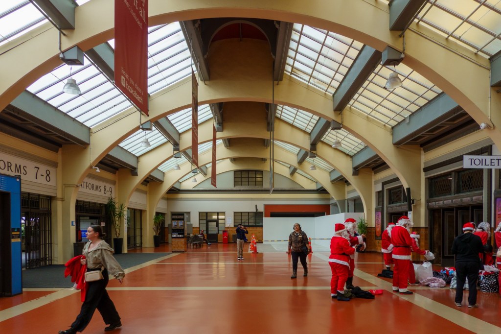
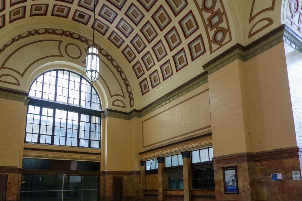
The first major new building engineered to approaching modern day earthquake standards was the railway station, dating to 1934 onwardsThere are other fine buildings of similar art noveau design and vintage around – particularly the St John’s Ambulance Depot (now a nice restaurant). No surprise there was a severe earthquake in 1934.
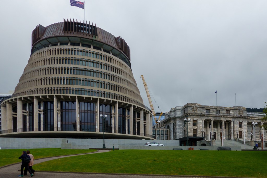
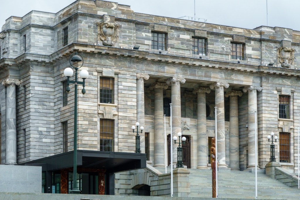
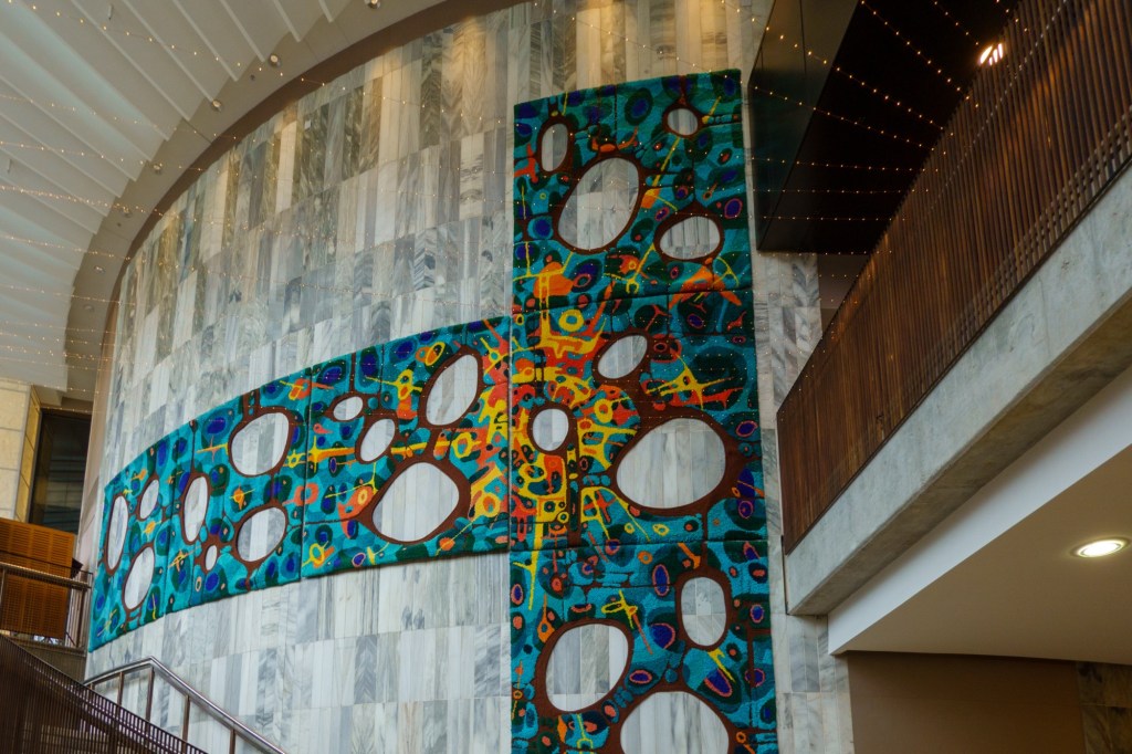
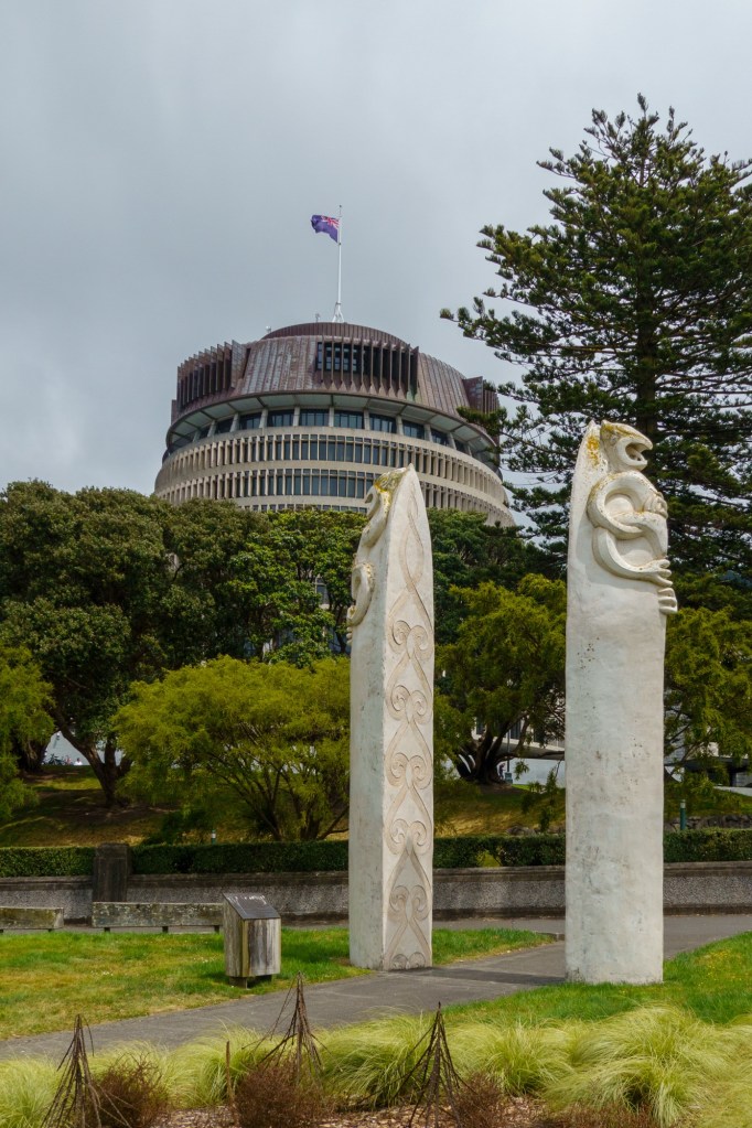
The new parliament building is of fine stone – adjacent to it is the Beehive, which houses the Goverment offices. No time for a tour – the carpet (tapestry) hung on the entrance hall is quite something.
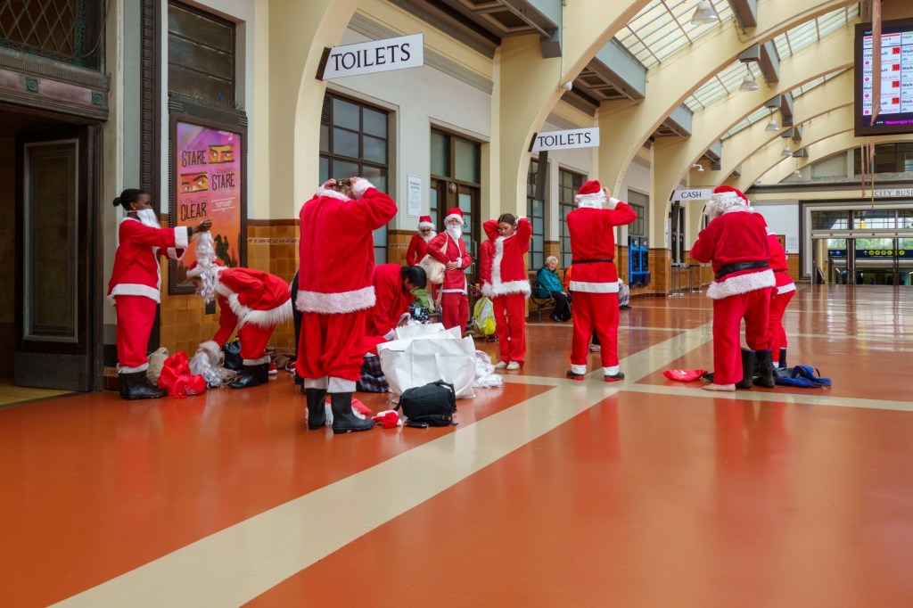
A glut of SantasRailway Station
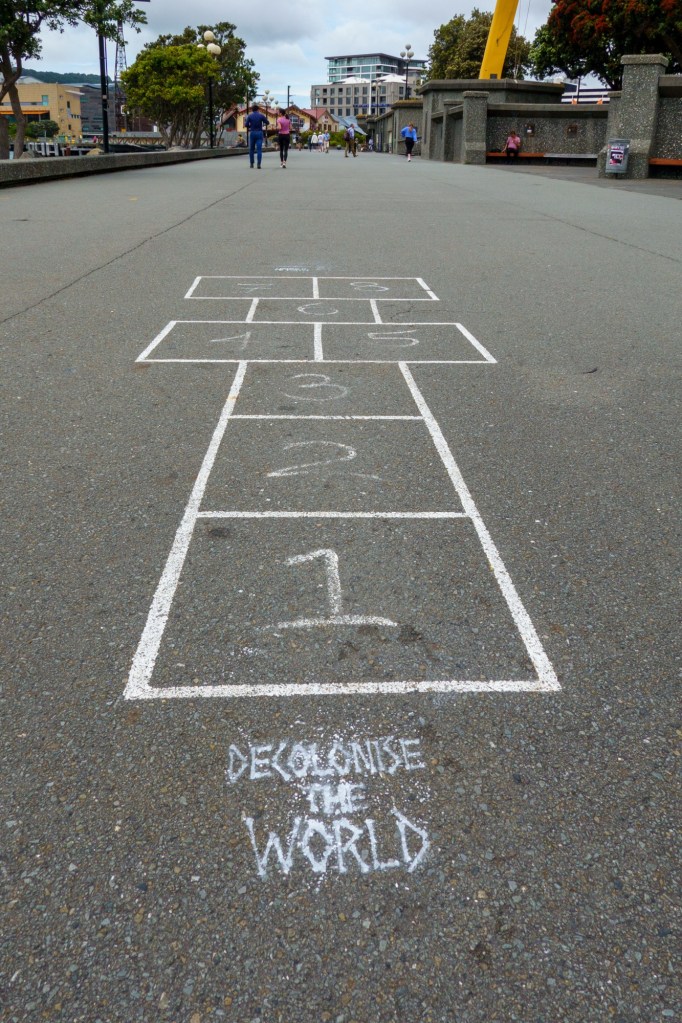
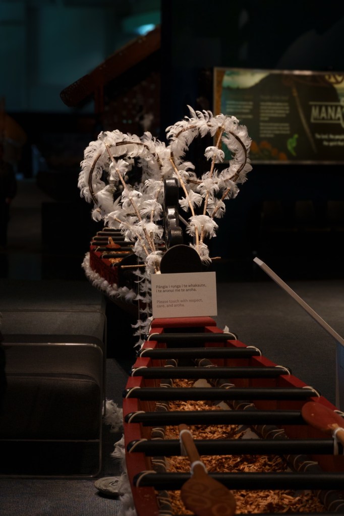
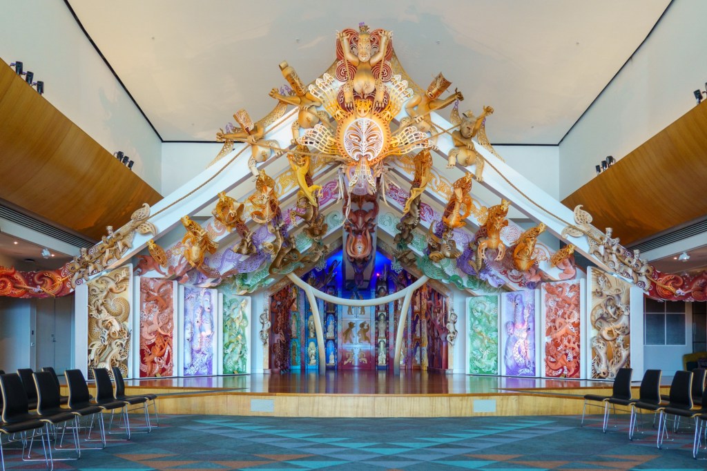
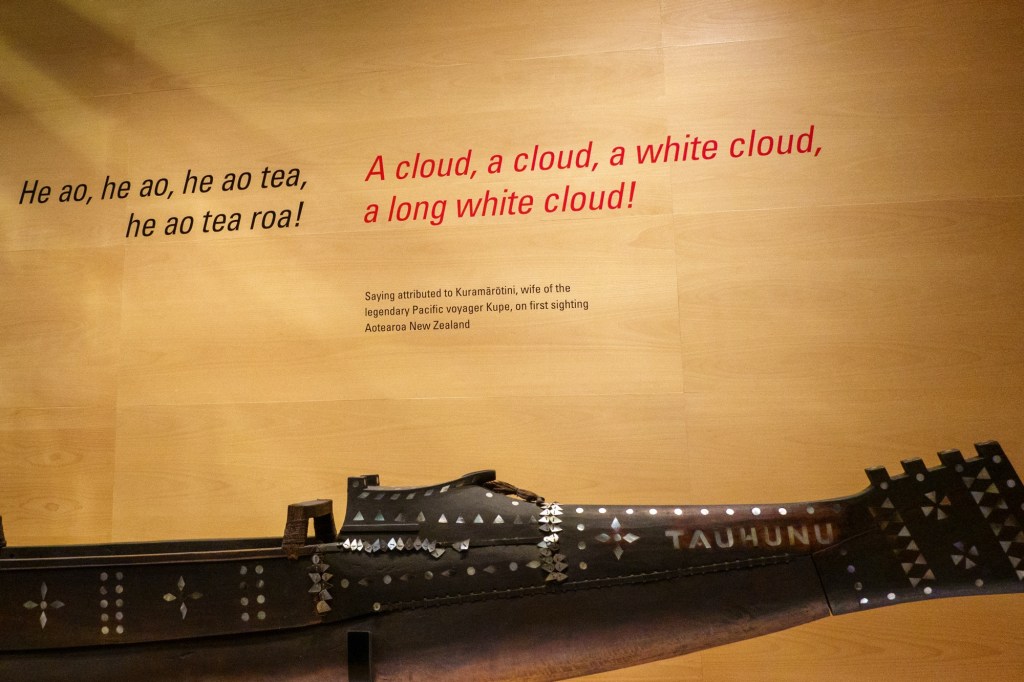
As is Te Pape New Zealand museum which does a fine job of explaining NZ origins and development. What again struck home was the deforestation starting with the Maori’s and escalating with the Europeans. Starker still was a map showing the Maori land’s before 1860 and after – none, zero, zilch, in the South Island from that point forward. It also evidenced NZ own colonialisation of the islands, such as Cooke Island. I suppose it was in their blood.
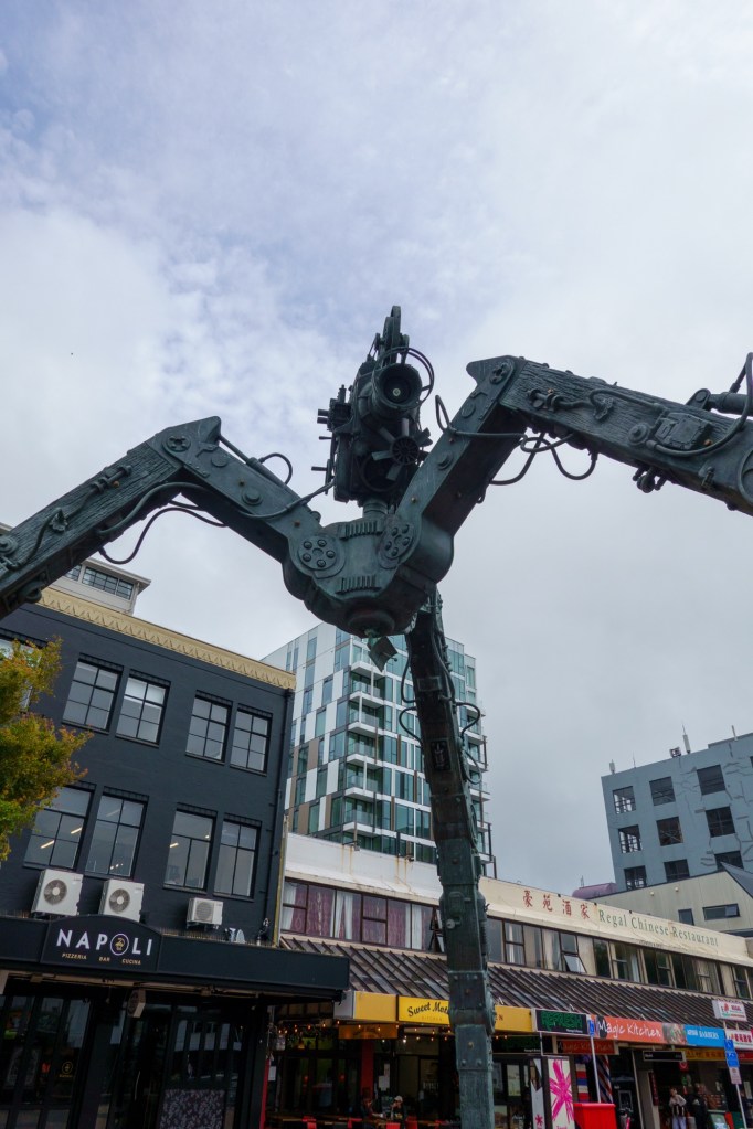
WorkingQuotePolitcal hopscotchWar of the Worlds?
So onwards to the South Island and new places / landscapes.
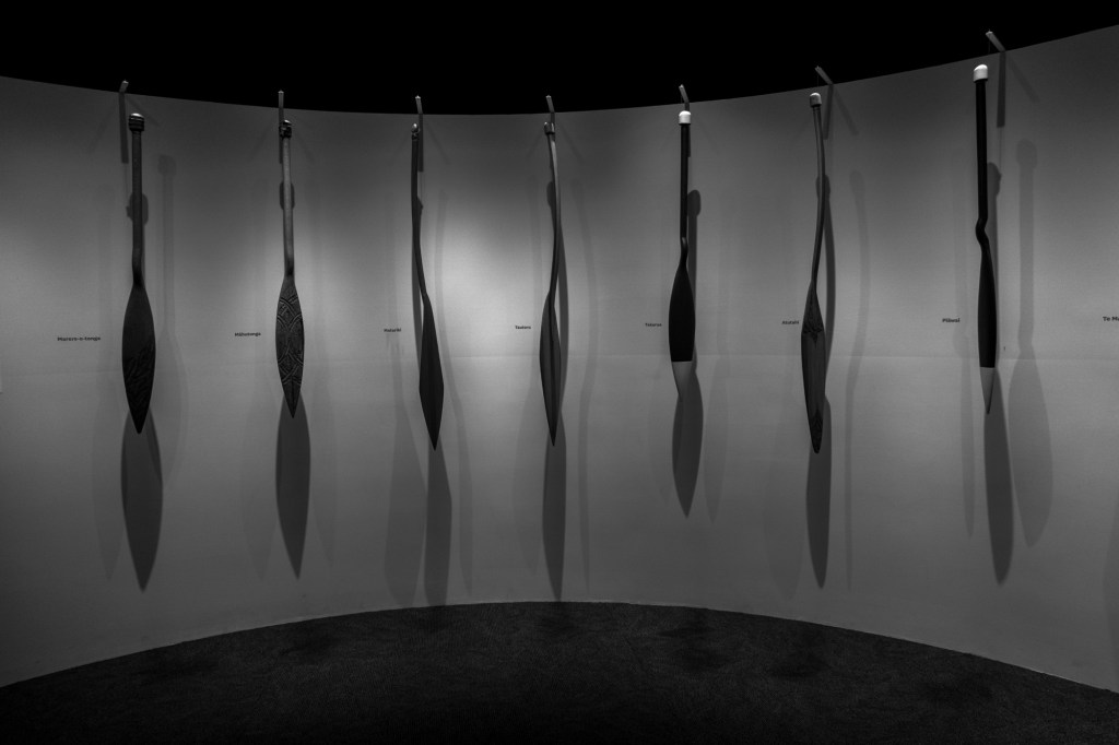
Boat decoof Albatross feathersOarsMeeting hallTe Papa museum