D16 TransOceania Hobart – Hamilton

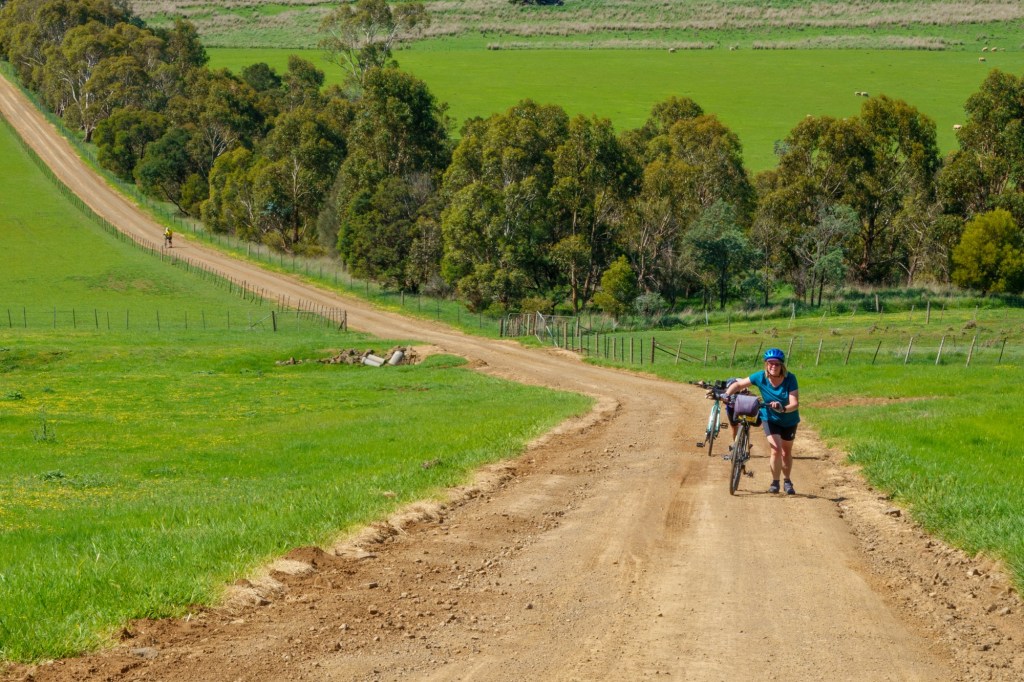
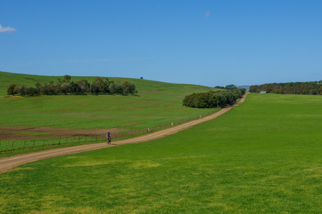
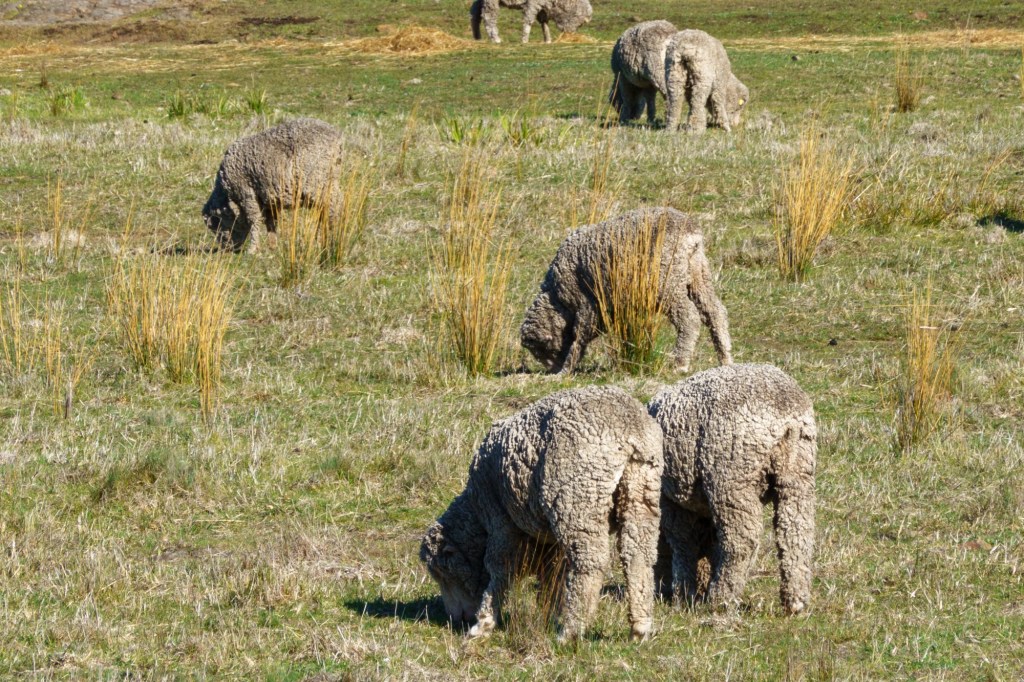
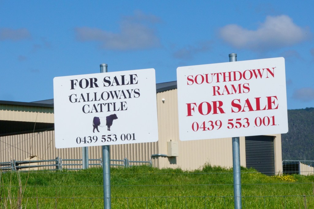
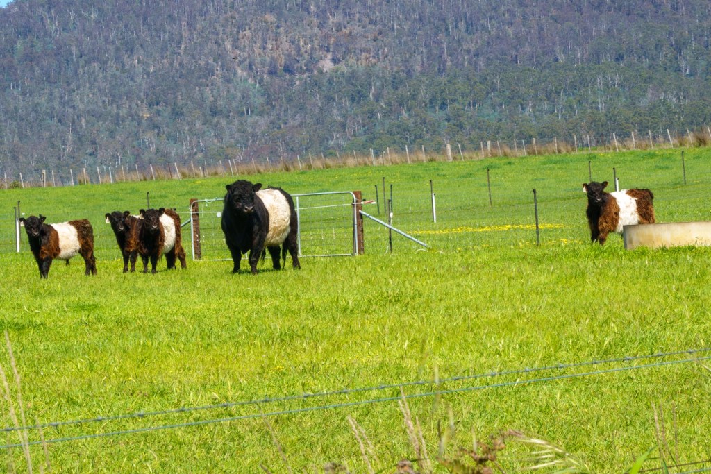
Or rather to Curringa Farm some 6k short of Hamilton. Tasmania produces 50% of the world’s legal opium supply for pharmaceutical use. So a happy farmer here, as are his 2500 sheep. As we look out over the green pastures it’s hard to take in that in two months he’ll be harvesting the poppies and the pastures will look like a desert.

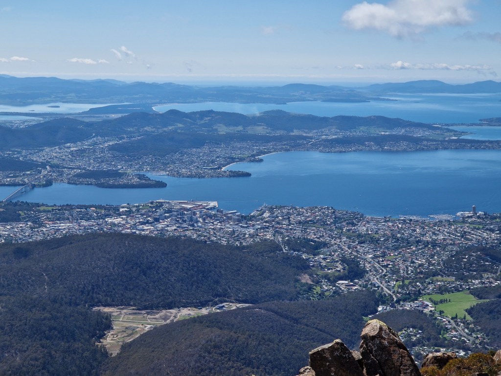
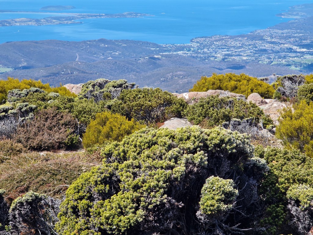
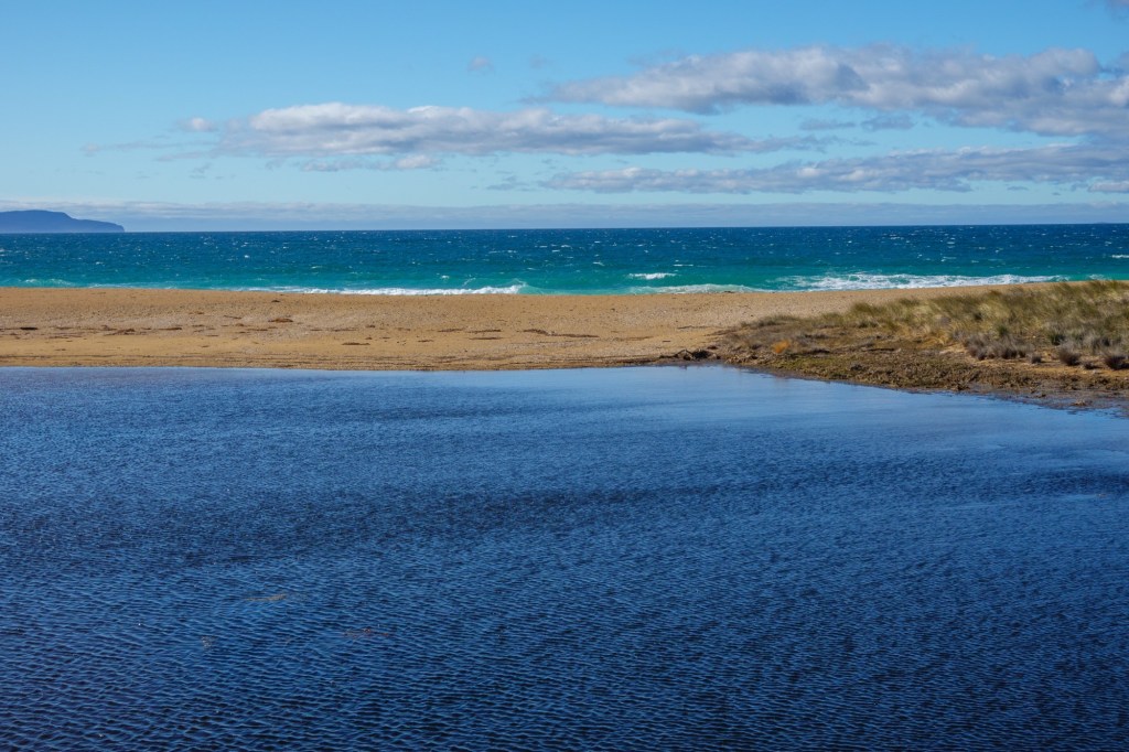
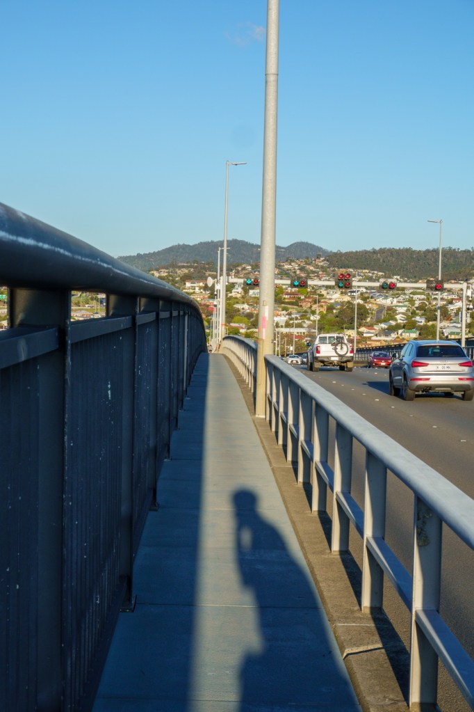
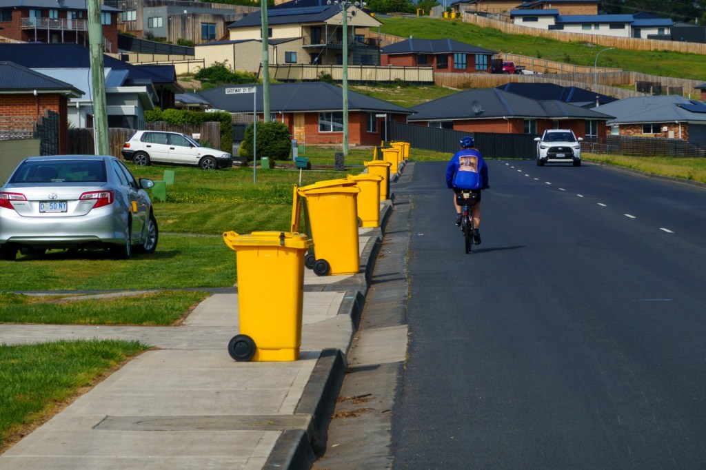
The day started with a lovely cycle path alongside the river Derwent and the old railway. The commuters were going in the opposite direction. After 13k go left and up, and up. Here you can see how Hobart is hugging the hill side.

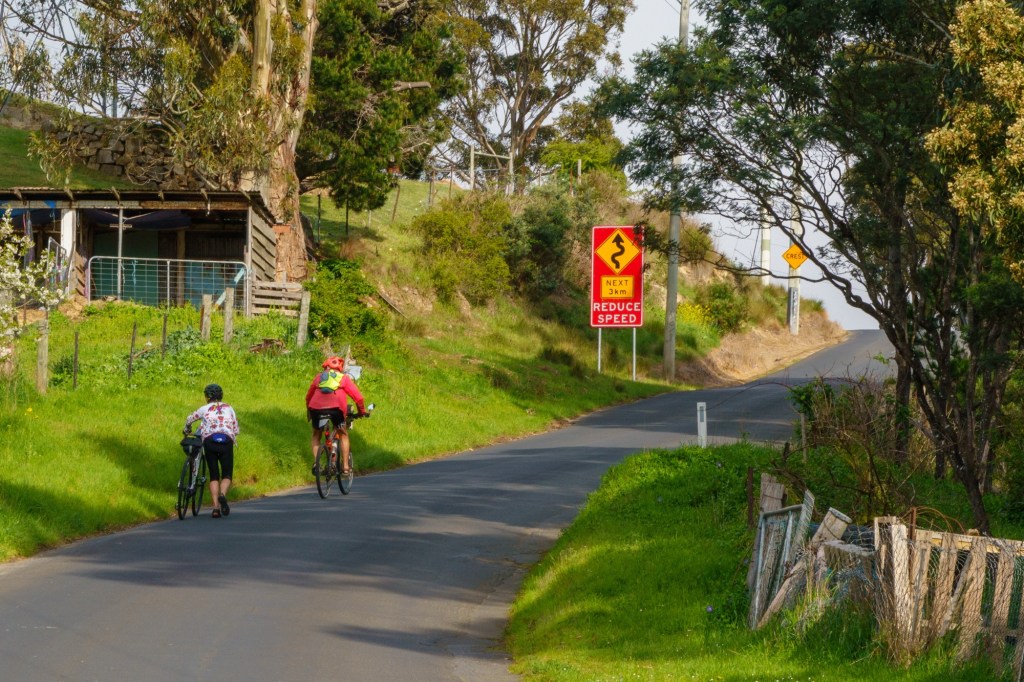
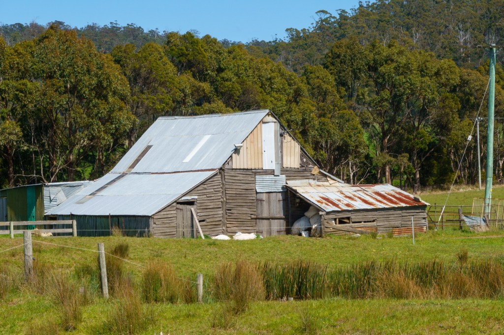
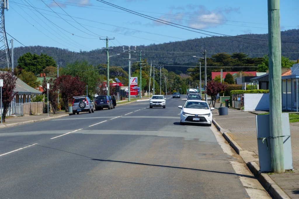
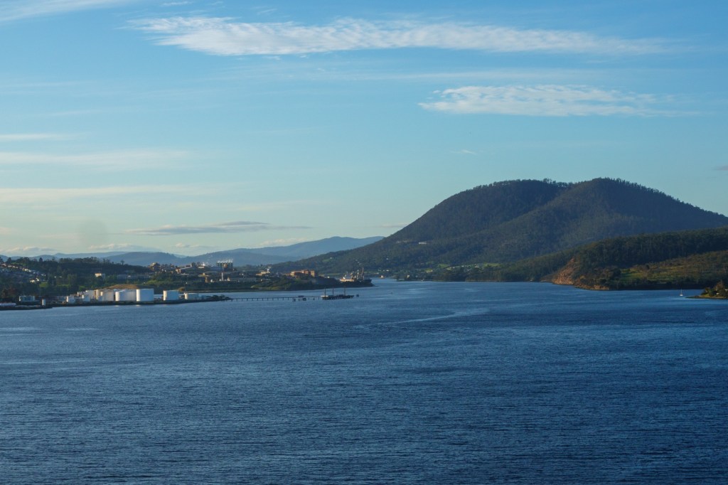
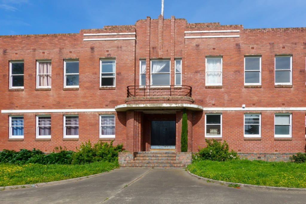
The descent opens into a completely different landscape. Small holdings nestling in the bush. New Norfolk is an interesting place. Just outside it at Bovey is Australia’s last paper mill. The Sanitorium in New Norfolk opened in 1827 and closed only in 2000: 23 buildings over 45 acres. The timing reminded me it’s not too different in Wales with the closing of the “shut away bin” for people with learning disabilities in Ely in 1989. Thankfully practices have changed.

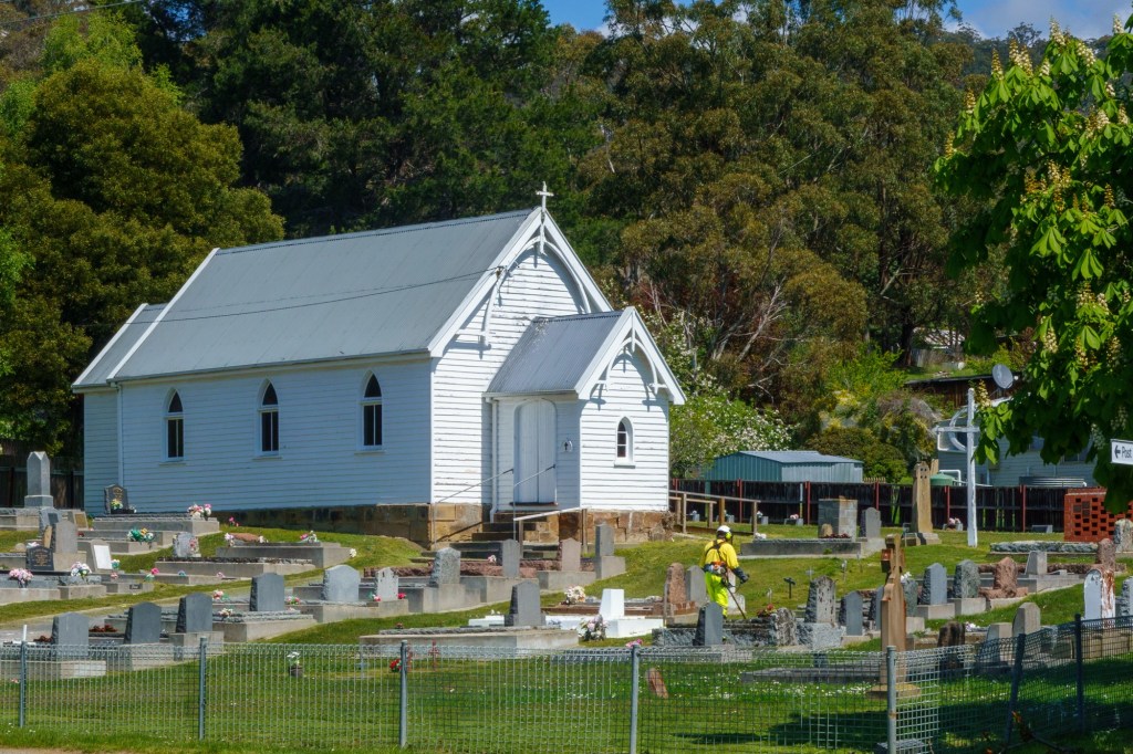
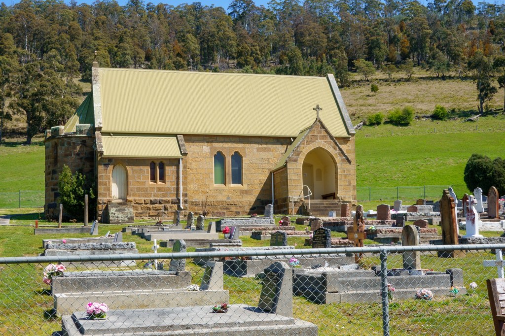
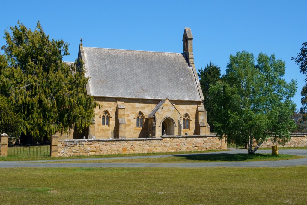
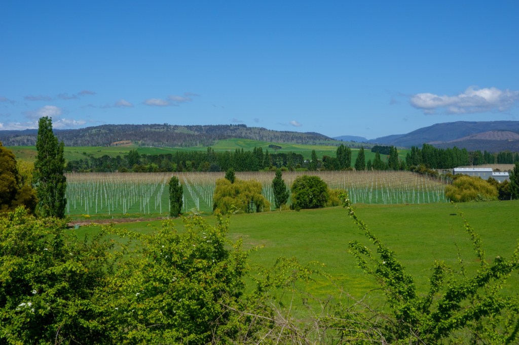
The Derwent Valley is dotted with farms and vineyards. And churches, still in good use by the look of the well tended graveyards. Ellendale is a tiny wee place – with a church at either end. Spoilt for choice or did the settlers bring their divides with them?

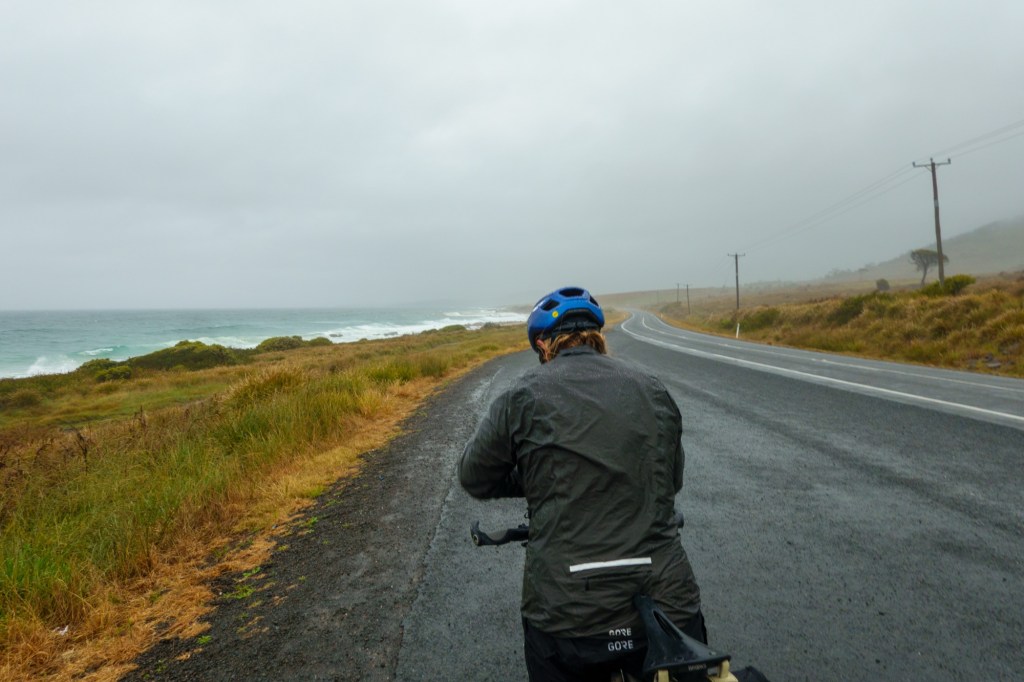
As for direction, we’re heading north into the centre of Tasmania, the Central Highlands. The lady in the cafe/post office in Ellendale is expecting snow within the next week – we’d better push on!

TransOceania Hobart restday.

An immediate contrast. No wind. Our host drives us to the top ofMount Wellington. 1.2km above sea level, a steady climb tempts runners and cyclists. The views are impressive and show the scale of Hobart relative to the land.

1833 seems an important year. Battery point area is where they placed guns to defend from the British enemies in 1841: France and the USA. Convicts had a hard time, including the 10000 women shipped here.

Feels a thriving friendly city: the traffic is very quiet as it’s a Sunday.

A perfect rest day.

D15 TransOceania Swansea – Hobart

Headwind. That’s it for today. Headwind.

Very dry though: this is a drought area we learn as we depart the drying Swansea. We hug the eastern coast line before going up over a headland. Then pedalling to keep going down hill into the wind. Which is good as is also quite hot: toasting nicely as we tootle along.

Rural empty spaces with sheep wearing their wooly jumpers. Small towns with wide streets and porches. Coal Valley however named is a wine area of note. Bad Tea Tree must have done something wrong. Almost English churches appear as we approached Hobart.

Which is stunning in the evening light along the cycle path by the River Derwent. A fine bridge is admired only for a later realisation we’re going over it: an interesting experience.

Then out to dinner with fine folks we met on the Orient Express ride. Small world.

D14 TransOceania St Helens – Swansea

Welcome home: it rained, then it rained some more, then it just rained. When it eased it was a typical moor scene: you couldn’t see the tops of the hills in the cloud.

Leaving St Helens we were also departing Break O’Day Council. Originally proclaimed as Portland-Fingal, the name changed 1993to Break O’Day. Sounds like a committee decision. “We need a new name, let’s discuss: we’ve been here since break of day and still can’t agree. Why not call it that then? Job done”

We were hugging the East coast which is the driest part of Tasmania. Usually. Never mind, we’ve had it good up to now. Swansea (population of 1000) formed from 1821. Named by someone from Pembrokeshire who (Westerner) was first to land/explore. He couldn’t have liked the Pembrokeshire names.

Not many photos today, just wet clothes!

Tomorrow to Hobart.

Waterproof beard

TransOceania St Helens Rest Day

As always it’s the hidden details which suprise. Anyone can Google history:

“The first European to sight the area was Captain Tobias Furneaux who, in 1772 when he was captain of the HMS Adventure and whilst accompanying Captain James Cook on his second voyage to the South Seas, was separated from the rest of the fleet and explored much of the eastern coast of Van Diemen’s Land. He sighted and the southern point of Georges Bay, St Helens Point after St Helens on the Isle of Wight, in 1773 and went on to name the Bay of Fires because he saw Aboriginal fires on the shores.”

You need to be outside the Tourist Information reading the plaque on the steam traction engine (made in England, the engine that is) to learn it was used in the local timber mill. To make sleepers for the building of the Siberian Railway. Which (google) is some 12500km away. Antartica is closer (4500km).

We went along to Binalong Bay on the Bay of Fires. Binalong to the Bay as it were. Stunning beach, wonderful white sand setting of the orange lichen decorated granite stones.

The sea birds were having a whale of a time, though we didn’t see any. Whales that is.

Then to start getting out the severe wet weather gear for tomorrow. Very apt as we’re cycling to Swansea.